Sentiero di Elsa and Mount Rubbio

Wonderful path that develops among the vegetation, dedicated to Elsa Olivero. The detour to Mount Rubbio is recommended.
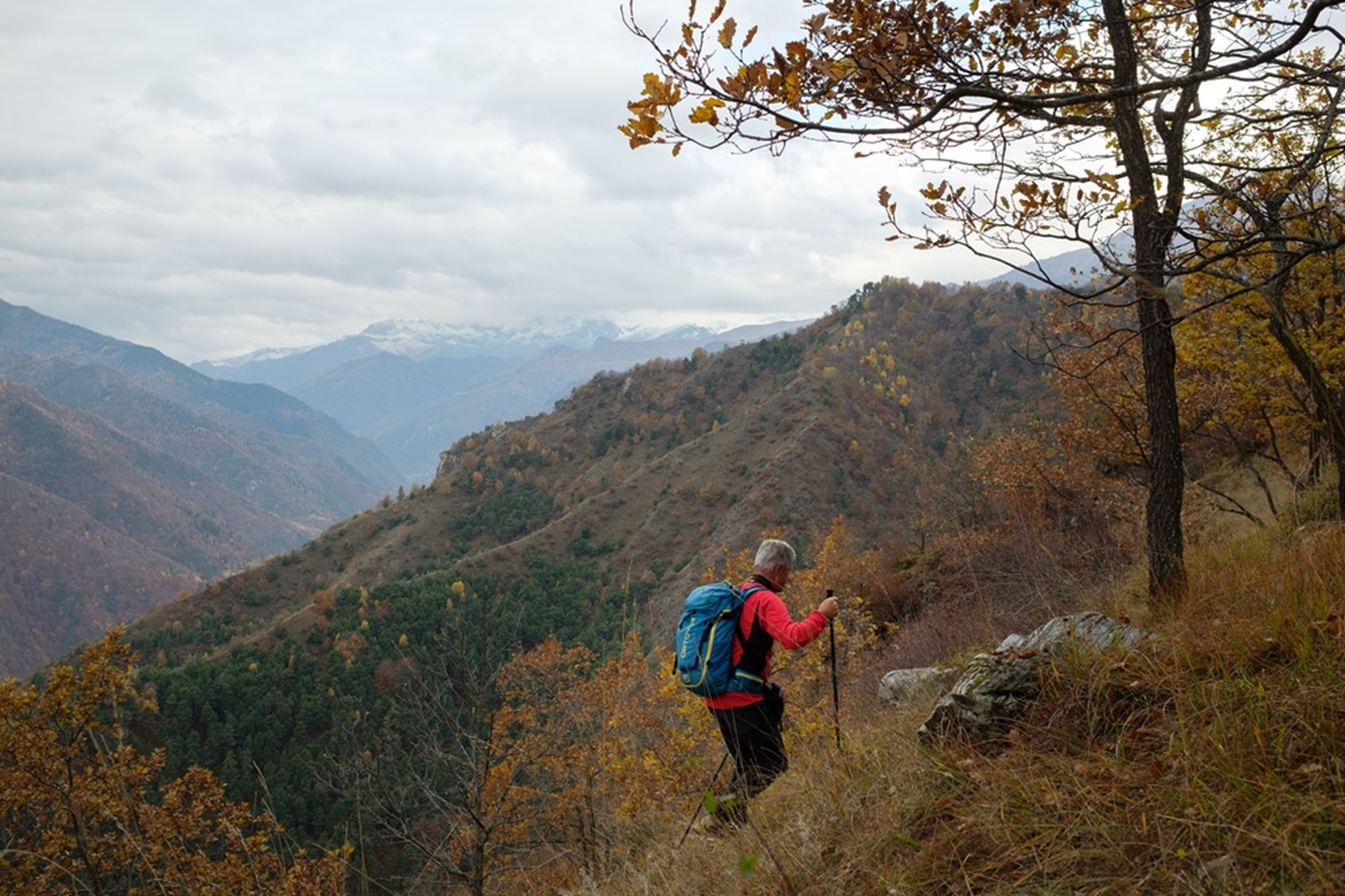
A beautiful itinerary, particularly recommended in autumn or spring, which develops in the municipality of San Damiano Macra behind Lottulo. The route is dedicated to Elsa Olivero and was restored by her husband Gianpiero Arneodo who in a year and a half of work recovered ancient paths that had disappeared among the vegetation. To make the walk more complete you can take a detour towards the very panoramic Monte Rubbio.
Access by car
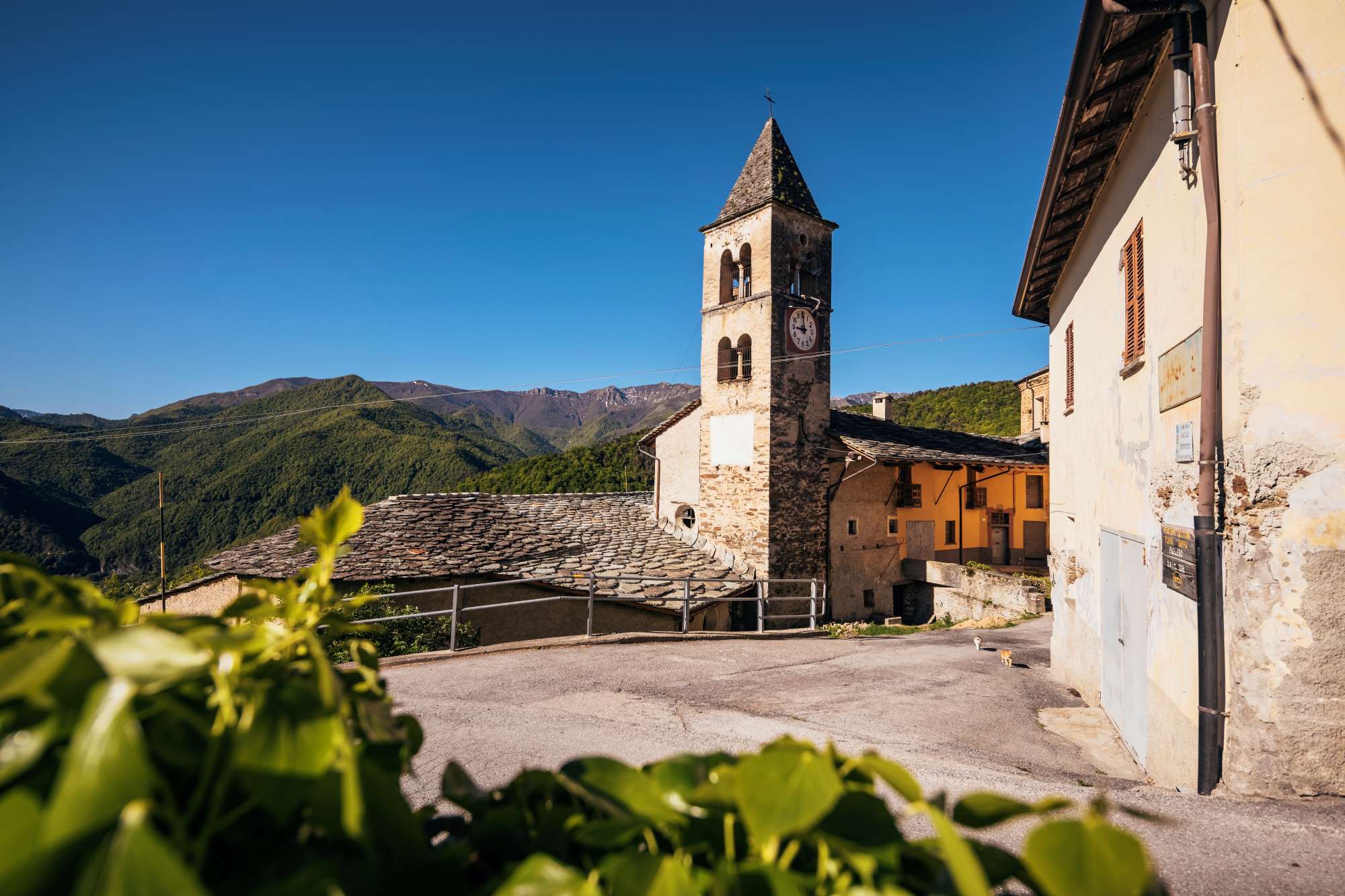
From Dronero travel along the Maira valley to Lottulo. Leave the car in the small square on the right at the end of the village.
Description
Retrace the provincial road towards the valley, keeping to the opposite side from the church of Saints Vincenzo and Anastasio. Just before the bridge at the entrance to Lottulo, turn left onto a slightly downhill concrete road that runs alongside an oven.
Just further down this becomes a path, it bends to the right and begins to climb steeply. The path, excellently marked with white/red markings and at times bordered by ancient dry stone walls, enters a mixed forest.
At a crossroads just above, keep right, cut through a clearing and continue climbing among larches, firs, hazelnuts and oaks. Higher up it is worth making a short detour towards I Caire, a beautiful panoramic point overlooking the valley floor.
Resume the climb, passing easy rocks without difficulty. The path threads through fragrant Scots pines, then passes onto the opposite side, losing a few metres. Once you start climbing again, you faithfully hold onto the panoramic ridge and then level out a little further up. The path bends to the right and after a short hillside path joins the Occitan routes arriving from Pagliero and heading to Camoglieres.
Turning left (those who feel up to it could make a detour to the right towards Mount Rubbio, adding about two hours in total between the round trip and 350 m of altitude difference)
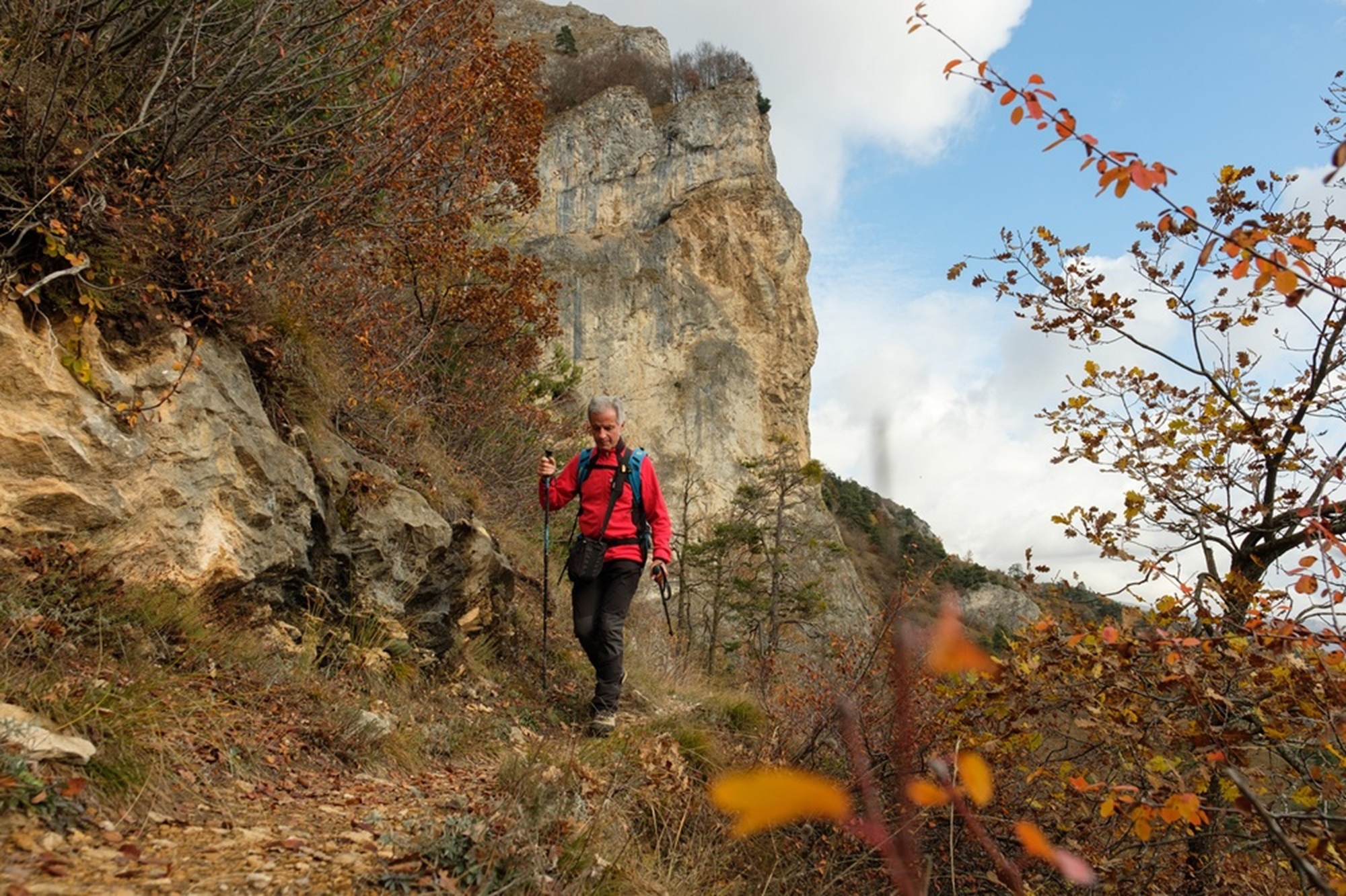
you go around a ridge with a short climb, and then faithfully follow the side of the mountain along a beautiful stretch of balcony at the foot of the dizzying south face of Mount Rubbio.
The itinerary continues with some ups and downs then turns south. After descending a section equipped with a chain, which is not difficult in any case, go along a ridge from which a splendid view opens up on the three-thousander Chersogno, Marchisa and Pelvo d’Elva.
Once back in a grove you can make a short detour to the nearby Punta Cucchietti (signs for Cucet, 1,257 m), a wooded peak that isn’t actually overly panoramic.
Once you go back down the path you come out again onto a ridge which offers excellent views. Almost immediately you abandon the Occitan routes to turn left (post) onto a perfectly traced stretch that descends the ridge with steep hairpin bends.
Once back among the Scots pines, descend to the top of the so-called Dal Diau rock, an excellent panoramic point overlooking Lottulo. Having gone back about ten metres, turn eastwards and enter the gloomy town of Rubbio.
Having descended into the narrow impluvium, pass next to the unexpected balma dal Gias, an immense overhanging blackish rock once used as a shelter. The path continues halfway up the slope, keeping above the stream.
Once you have almost reached Lottulo it is possible to go down directly onto the provincial road, but the Elsa Path still requires you to turn right onto the small path which starts to climb steeply behind the village recovering about fifty meters of difference in altitude. With a semicircle go back down to Lottulo in the car park where this pleasant route ends.
Text: Elio Dutto and Valerio Dutto of Cuneotrekking.com
Photo: Elio Dutto of Cuneotrekking.com
Information
- Ascent: 580 m
- Distance: 6.6 km
- Region: San Damiano Macra
- Seasons: Autumn, Spring, Summer
- Difficulty: Medium Difficulty
Mountain sports are potentially dangerous activities and must be undertaken with the right equipment and preparation. We invite you to consult the weather and avalanche bulletin before embarking on an excursion and/or contact a guide for assistance. The Valle Maira Tourist Consortium declines any responsibility in relation to the advice and itineraries shown here, which must be evaluated personally according to the weather conditions and snow cover.


