Eleventh stage
From the Gardetta plateau to Marmora

A stage without too much positive altitude difference but with an important mileage that crosses the entire Gardetta plateau at the foot of the impressive south face of Rocca la Meja. During the descent into the Marmora valley it also touches the small Resile lake, an enchanting mirror of water of glacial origin with an intense color set among the larches.
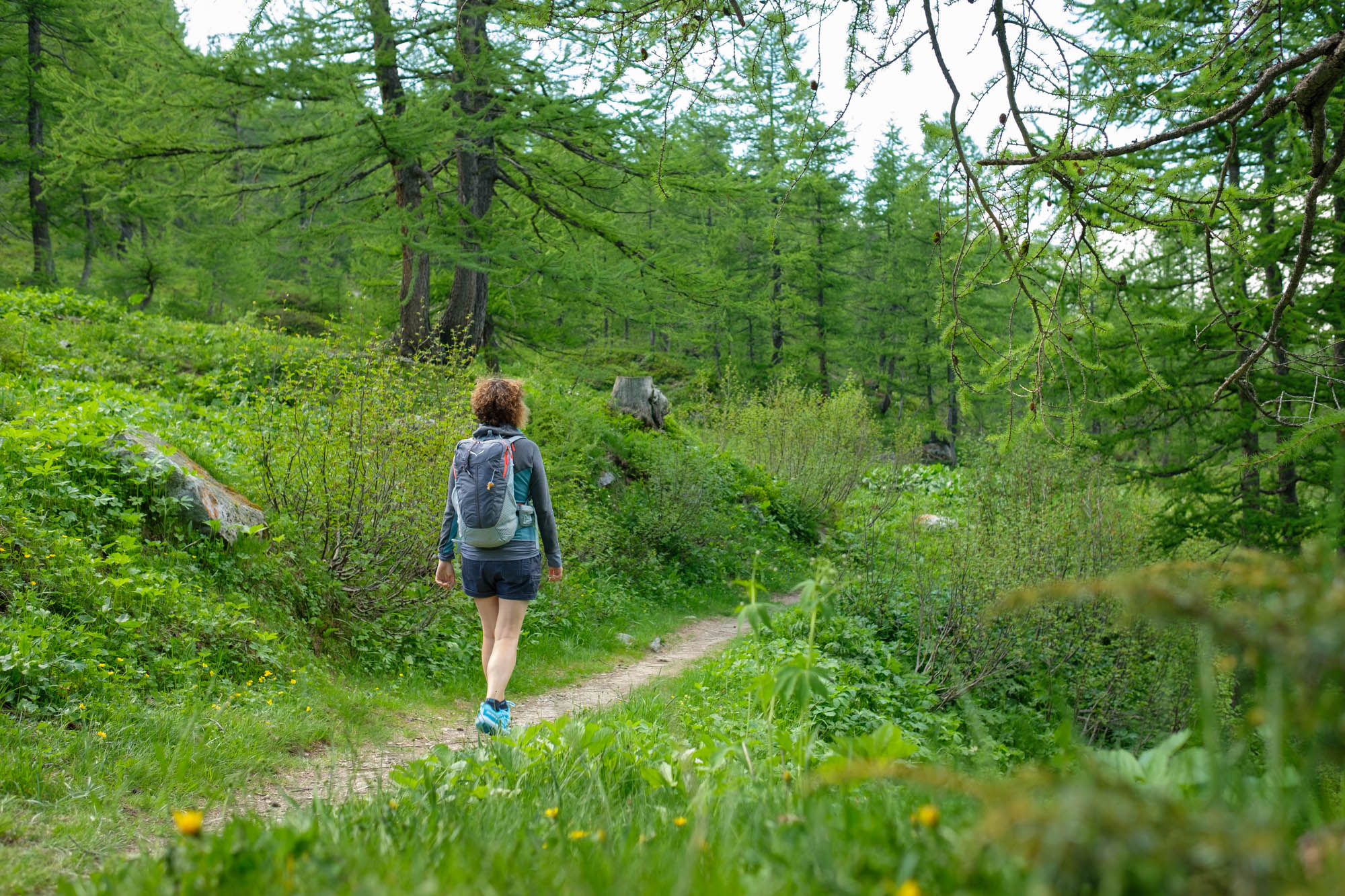
From the Gardetta refuge, continue along the military road that slopes down gently to the east. Once on the military road that circles the entire plateau, follow it again downhill to the left (there are possible shortcuts) as it winds gently towards the Preit pass. It is a truly enchanting place: large flowering meadows full of marmots, with wonderful views of the ever-present Rocca la Meja as it gets closer and closer.
At the Preit pass, turn right onto the dirt road that goes round the Ciampasso grange, past the Flip grange and leads to the Margherina plain. Continue on the path that goes around it from the left and goes up through green meadows in the shadow of the vertiginous south face of Rocca la Meja to the Margherina pass.
Follow the rather uneven dirt road that climbs to the left on the ridge. Pass by the ruins of the Margherina barracks, one of the many fortifications in which troops were once housed, and you will soon arrive at the small Meja lake, a spectacular photographic spot perfect for a relaxing break. Go uphill to the Ancoccia pass, the highest point of this stage, sandwiched between sections 311 and 312 of the Alpine Wall, where you can enjoy excellent views of the Meja before finally leaving it behind.
Enter the town of Sambuco in the Stura valley, and go downhill on the opposite side. Near a hairpin bend, follow the dirt road that branches off to the left, goes round the Becco Grande and leads to the Mulo pass. Go down the high Marmora valley, back into the Maira valley, and follow the unfinished military road that has been partly reduced to a path. Further on, leave it to turn right and descend in endless hairpin bends.
Further down, the path crosses a dirt road several times and leads down to the Valanghe gias, located on the tarmac road that leads from Marmora to the Esischie pass. Cross the road and continue on the path that runs alongside and just below it. Further down, walk along a short stretch of tarmac, then follow the signs to the left near a large car park before a bridge to reach Lake Resile, a beautiful little lake set among the larches.
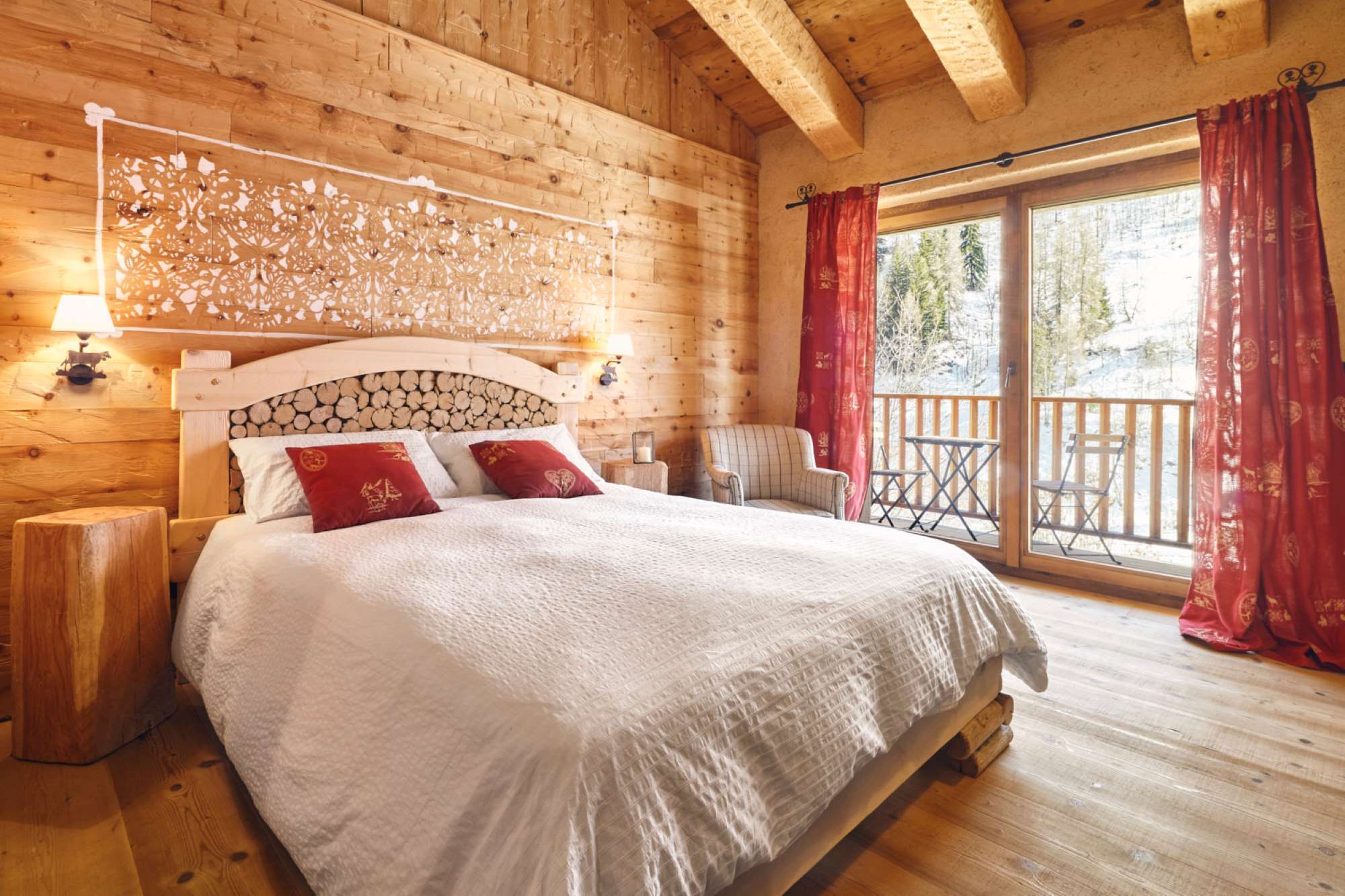
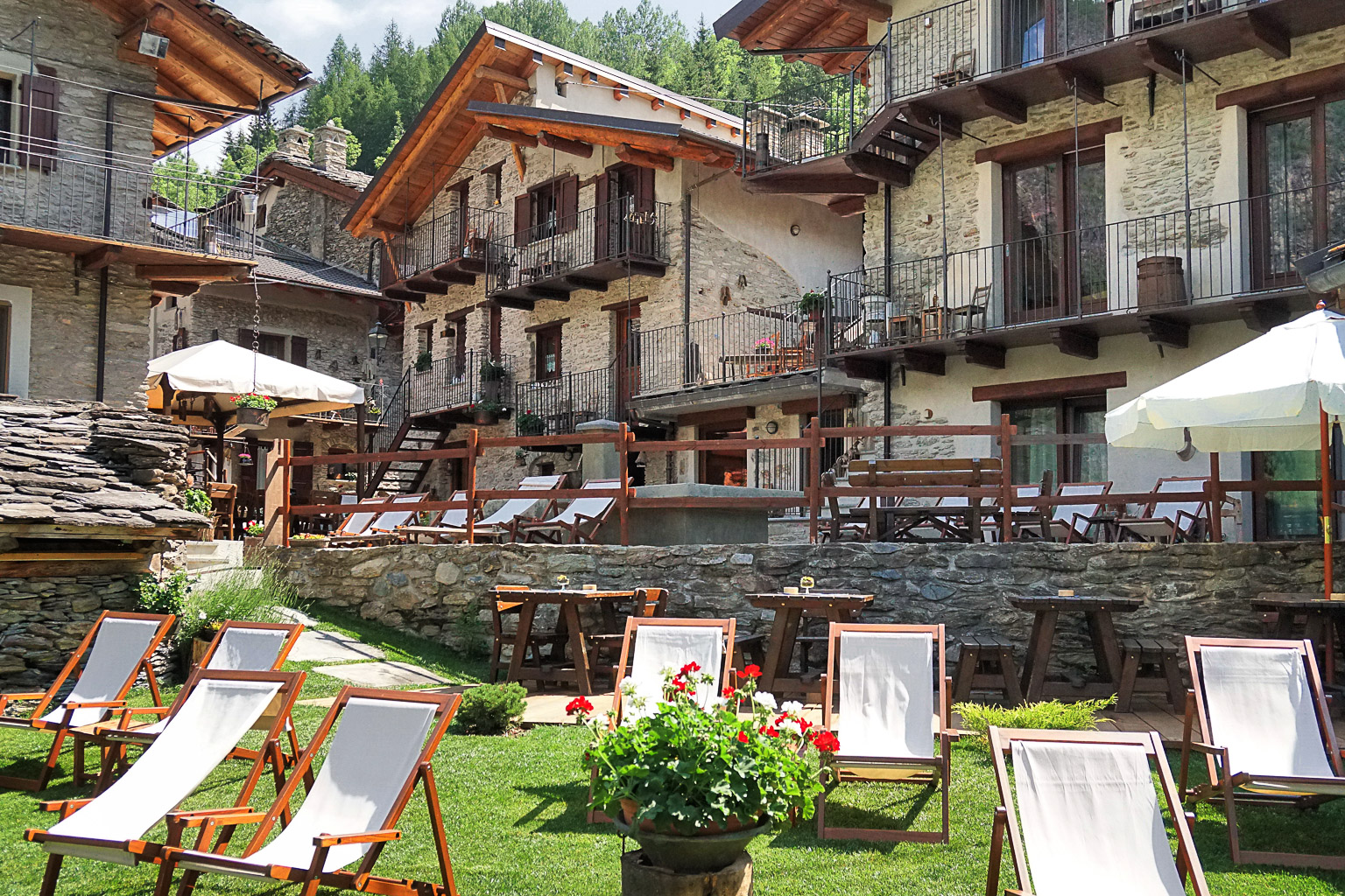
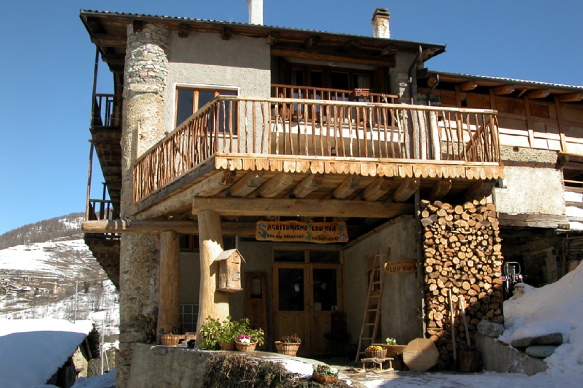
Continue along the path, which crosses the tarmac road several times, and then stays a short distance from the stream as it descends to San Sebastiano. You can stop off at the Occitan Lou Pitavin inn in the hamlet of Finello, or at the Ceaglio guesthouse in Vernetti.
Text and photos by Cuneotrekking.com
Information
- Ascent: 530 m
- Descent: 1,600 m
- Distance: 22.0 km
- Starting altitude: 2,335 m
- Max altitude: 2,534 m
- Difficulty: E (Hiking)
On the trail
Here are the points of support of this stage


