Fourteenth stage
From Celle Macra to Dronero
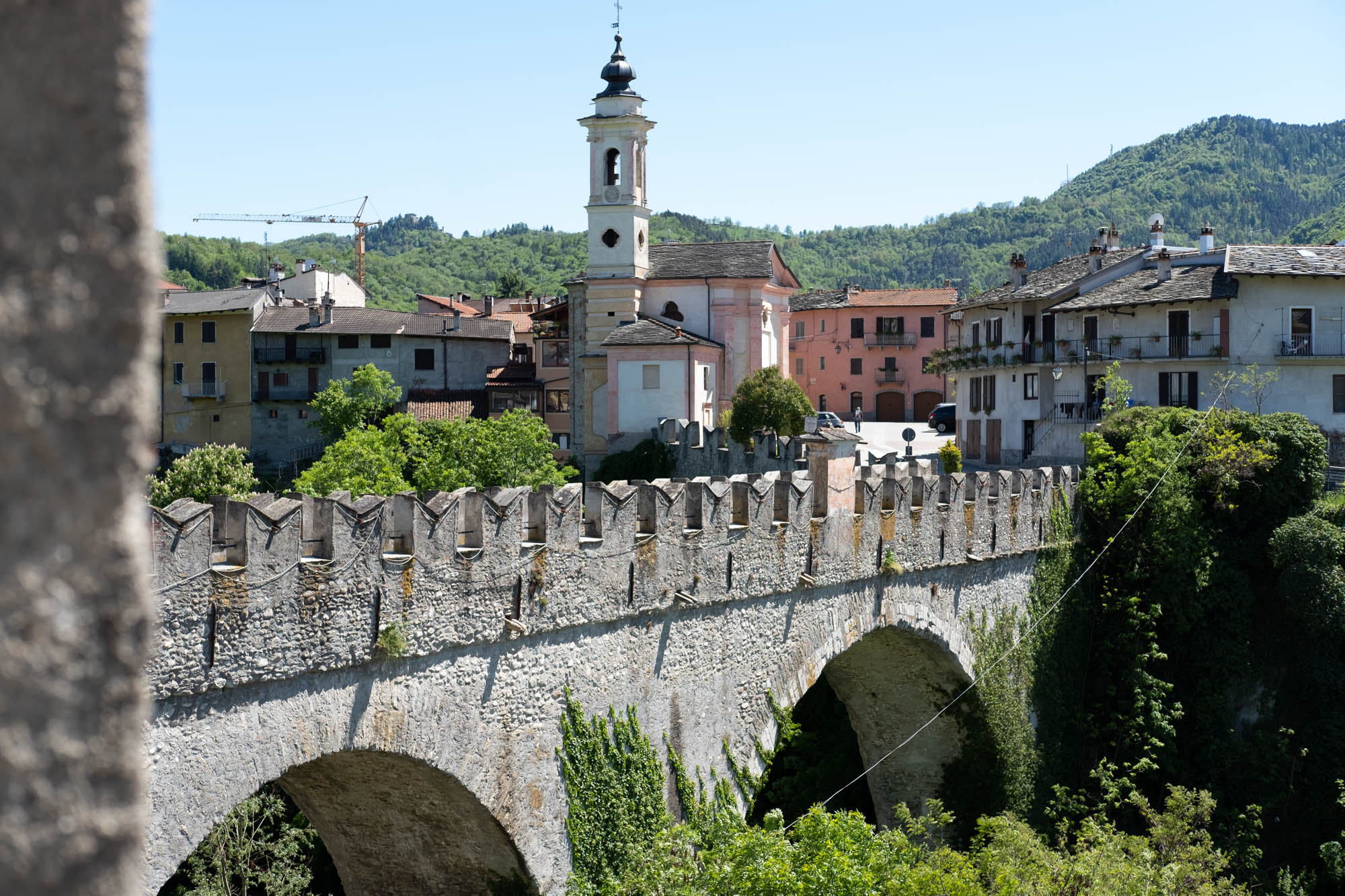
Final stage of the Occitan routes that from Celle Macra allows you to return to Dronero on the famous devil's bridge, symbol of the city. A slow return to the plain through secluded side valleys and the very long plateau that connects Cartignano with Dronero.
Take the tarmac and then the paved road that climbs up between the Maraman inn and the back of the parish church of Saint John the Baptist, rebuilt in the 18th century on the remains of the previous medieval one. Go past the Seles Museum, formerly the church of San Rocco, before which the little road becomes a grassy lane. The museum is dedicated to the travelling trades of the valley and, in particular, to anchovy workers.
When you reach a chapel at a crossroads, follow the mule track that goes up towards Castellaro, along a balcony stretch with views of the small road that winds towards the chapel of San Sebastiano.
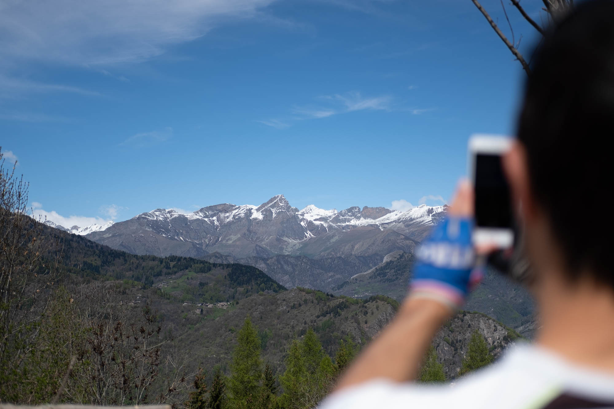
A lovely stretch in the pine forest leads to Castellaro, a medieval hamlet with remarkable architectural features, set in a splendid sunny and scenic position overlooking the triad of peaks that reach 3000 metres: Chersogno, Rocca la Marchisa and Pelvo d’Elva.
Go past the church, which is surrounded by attractive wooden sculptures, and up between the houses. After about 50 metres, turn left near a fountain. The grassy dirt road climbs gently at first and then gradually becomes steeper towards the clearing on the Colla plateau, until it becomes a little path that leads to the summit, the highest point of this stage.
Cross the dirt track and take the small grassy path that goes down the other side. Further on, ignore a forest track that crosses over. 200 metres further on, bear left and go down between the houses of Soglio soprano.
At the access road to the hamlet, follow it to the right. After Soglio Belloni, the road continues for a couple of kilometres on a gentle downhill slope and, after entering the town of San Damiano Macra, it joins another dirt road on the left that leads down to Soglio sottano. However, turn right slightly uphill, ignore all detours and you will reach Serre after another kilometre and a half. Leave the dirt road and take a steep path with a few zigzags down to Filoira, right in front of the church of the Madonna della neve.
Follow the tarmac road that descends slightly towards the valley. Leave it after 300 metres at a hairpin bend. Turn right onto a dirt track that leads to Bedale after about 100 metres. Once past the houses, it becomes a beautiful little path along the hillside, passing a charming little waterfall and descending to cross the Albert stream on an old stone bridge, near which there are still the ruins of a mill.
The path goes uphill again along the hillside, never too steeply, through an enchanting and dense wood of ash and then beech trees. Ignore a small path that branches off to the left and, further up, join the dirt road coming from Santa Margherita.
Follow it downhill, arriving after a few metres at Colle della Margherita where several partisan memorial stones stand next to a small chapel. In the terrible winter of 1944, bands of partisans from the second Justice and Freedom Division began a long march from here to the Langhe.
Continue along the dirt road which, after three hundred metres on an almost level surface, leads to Santa Margherita. After the houses, the road becomes tarmac and runs a very long way down into the valley. There is an interesting stretch alongside overhanging rock faces.
After two and a half kilometres, at a pillar just past a hairpin bend, turn left onto the mule track that goes downhill and takes a long shortcut with a rough surface that leads to Ruà del Prato much further down.
Follow the tarmac road towards the valley for 300 metres and turn left (pillar) onto a lane that starts to climb again. After covering about 60 metres in height, go down to the chapel of Santa Cristina, located in a scenic position above the Copetto hamlet. Go around it from below and then turn onto the forest track on the left, which descends steeply to Cartignano and joins a tarmac road.
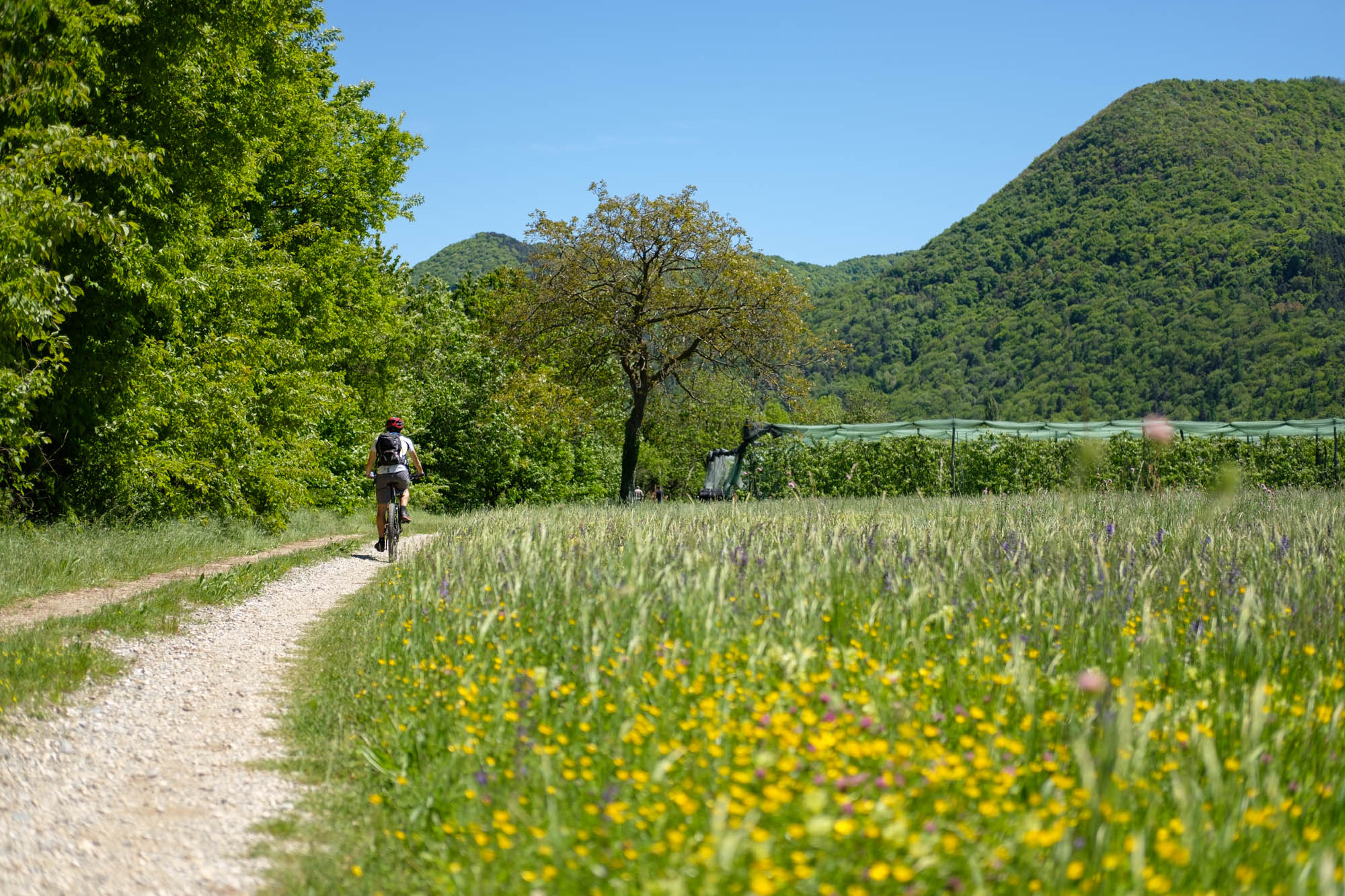
When you reach the parish church, turn right onto Via Paschero. Go past the cemetery and enter the town of Dronero and the Ponte Bedale hamlet. Immediately after the houses, turn left onto the small road that is initially tarmac and then dirt, which continues along a very scenic stretch between orderly cultivated fields. After 400 metres, turn left and follow the road that runs along the edge of the plateau.
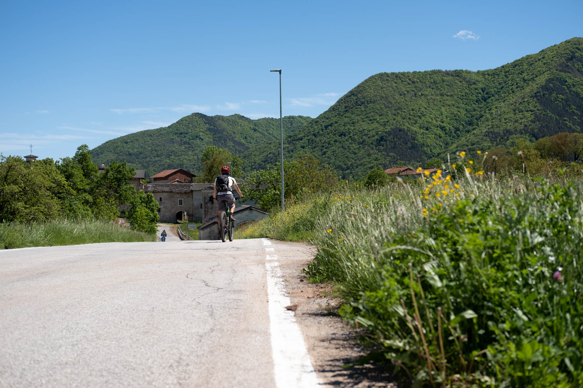
Once you reach the village of Tetti , the road becomes tarmac again. Immediately afterwards, turn left near a pillar and, after 150 metres, cross the road and continue along the one that runs between two houses. After one and a half kilometres, turn right at the fork onto the cycle/pedestrian path. Go past the hydroelectric power station and turn left downhill just after it.
Follow the cycle/pedestrian path that follows the Maira river and after a kilometre joins Via Marchisa. Follow it in an easterly direction for a further kilometre alongside a canal. From time to time there are beautiful views of Dronero.
Turn left onto Via Colombo. Passing between the houses, you arrive at the cobbled square of the church of Santa Brigida, from where the famous Devil’s Bridge starts, symbol of the city: legend has it that it was built by the devil himself. Go up towards the historic centre and wander through the streets of the town, without taking any fixed routes, concluding the long Occitan Trails hike.
Text and photos by Cuneotrekking.com
Information
- Ascent: 600 m
- Descent: 1,200 m
- Distance: 26.5 km
- Starting altitude: 1,261 m
- Max altitude: 1,562 m
- Difficulty: T (Tourist)
Notes
As this is a very long stage, you can consider ending in Cartignano and returning to the car with the Sherpabus service. It is useful to bring the GPS track with you given the numerous crossroads that are not always marked.
On the trail
Here are the points of support of this stage


