Thirteenth stage
From Palent to Celle Macra

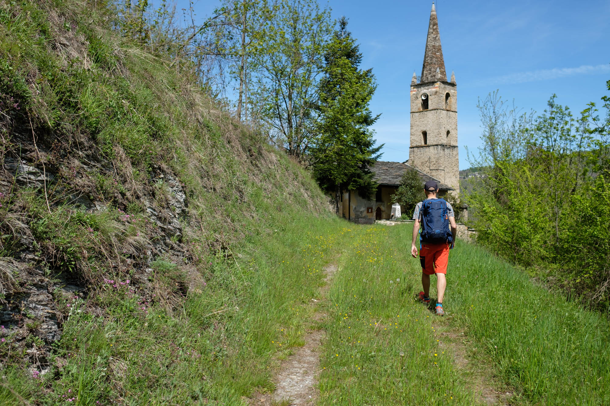
A quiet stage, in uncrowded wilderness areas, which crosses ancient villages largely abandoned. An itinerary mainly inside woods which, however, do not lack interesting viewpoints over the valley of Celle Macra, with the possibility of getting lost among the houses to observe original examples of Alpine architecture.
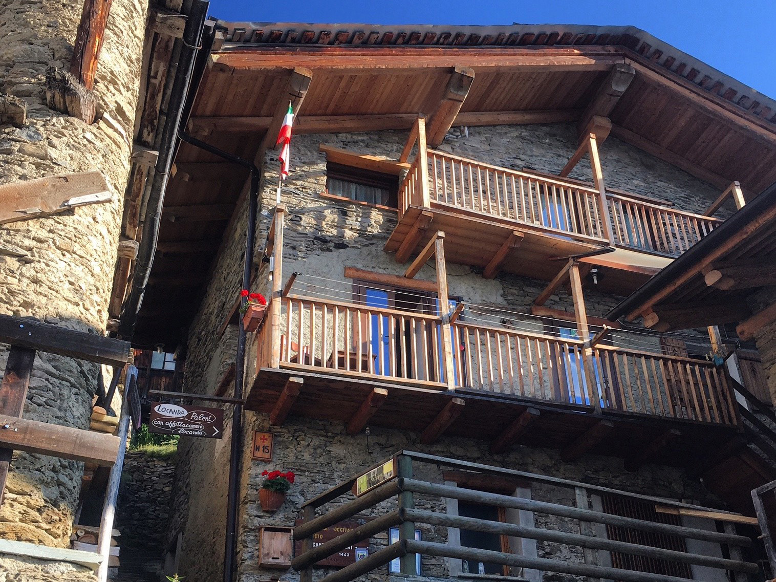
Go down the steps that pass between the houses of Palent, then turn left and walk past the beautiful chapel of San Magno, which sits surprisingly secluded at the foot of the hamlet. Continue along the easy mule track that leads downhill to the sunny hamlet of Aramola, which is only a few metres from Maurengo. In the past, this settlement had a total of over 100 inhabitants. Turn right onto the dirt track that becomes a gentle path through the Aramola comba.
After a slightly uneven stretch, the path begins to climb again through mixed woods, first gently and then more steeply, to Colletto, a beautiful hamlet on a ridge with an exceptional view on both sides. To the east, the numerous hamlets of Celle Macra are clearly visible, while to the west you can see the hamlets just passed and, to their right in the background, the Betunet and Bettone mountains overlooking the Elva gorge. It is worth making a detour for a few minutes to the scenic Castle ridge , where a statue of the Alpine Madonna has been placed.
Back at the chapel of Sant’Anna, continue as far as the tarmac road, cross it and follow the signs towards Costa Chiggia. After about 80 metres, turn left at a pillar and go downhill to the Cucchietto hamlet. Cross it without going down to the main road and follow the path that later joins the tarmac near a pylon.
After about 100 metres, turn right before the hairpin bend and make a semicircle around the church in the Garini hamlet. After passing under a portico, follow the dirt road towards the valley. At a fork in the road, keep to the right and follow a small road downhill that is first tarmac and then becomes a dirt track. After 200 metres, leave it temporarily to turn left in the direction of the ancient parish church of Albaretto Macra, dedicated to Saint Mary and surrounded by a small cemetery.
Take the little path at its foot that leads back to the dirt track. After the hairpin bend, ignore a sign for the Occitan Trails that leads to Camoglieres, and continue along the dirt road that leads slightly downhill to Chiatignano. Leave it after a double hairpin bend for a path that branches off to the right and crosses the road surrounded by dry stone walls.
After passing a pillar, the view suddenly opens up over the wild Combe valley. The path has a stony, uneven surface and makes several sharp bends before going steeply downhill to Sagna, in the town of Celle Macra. Once you reach the houses, turn right near a pillar to reach the access road to the hamlet. It is partly tarmac and partly dirt road and leads downhill to Combe.
Walk around the hamlet, going down towards the Celle stream, pass it and continue on the tarmac road towards the valley for a few dozen metres. Leave it for a path that branches off to the right and continues further up, passing an unusual pillar with a portico almost immediately.
The path starts out slightly uphill and then descends in a wide semicircle. After passing a second pillar with a portico, it leads down to the main road of Celle Macra. After crossing the Tibert stream, follow the main road up the opposite slope to the Mattalia hamlet.
After a dirt track and before the houses, take the tarmac road that climbs up to the right. It turns right onto a dirt road and goes up until it crosses the main road again. On the opposite side, a mule track bypasses two long hairpin bends and leads to Paschero.
Pass among the houses of the hamlet and turn left in front of the church, dedicated to the Nativity of the Virgin Mary. Ignore all detours and take the final mule track on the opposite side, which leads directly to Chiesa, home to the town hall, the locanda Maraman stop point, and the parish church of Saint John the Baptist with its remarkable medieval bell tower.
Text and photos by Cuneotrekking.com
Information
- Ascent: 400 m
- Descent: 630 m
- Distance: 9.5 km
- Starting altitude: 1,479 m
- Max altitude: 1,479 m
- Difficulty: E (Hiking)
On the trail
Here are the points of support of this stage


