Eighth stage
From Ussolo to Chiappera

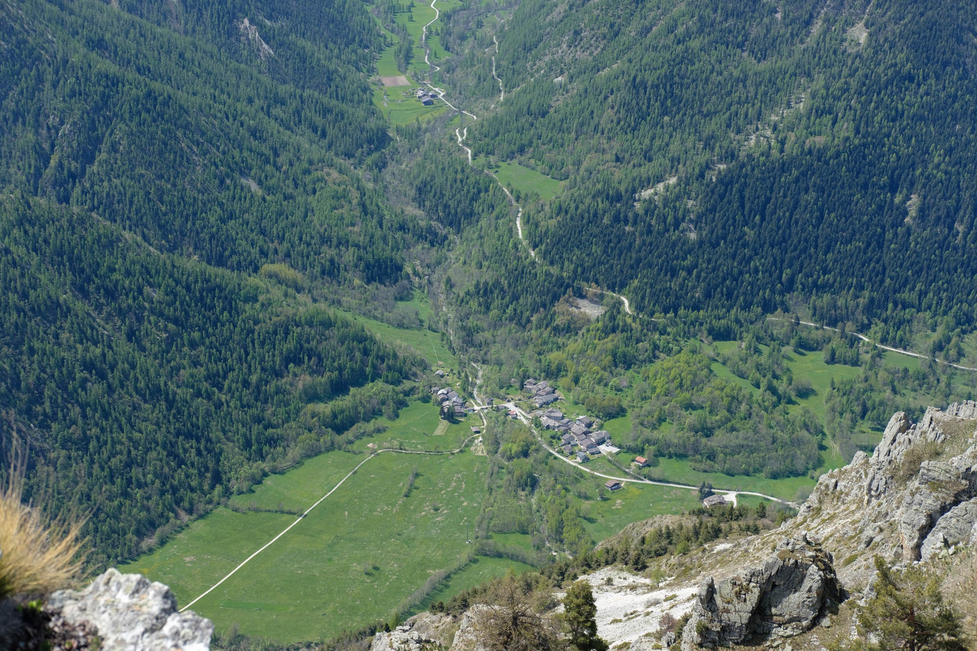
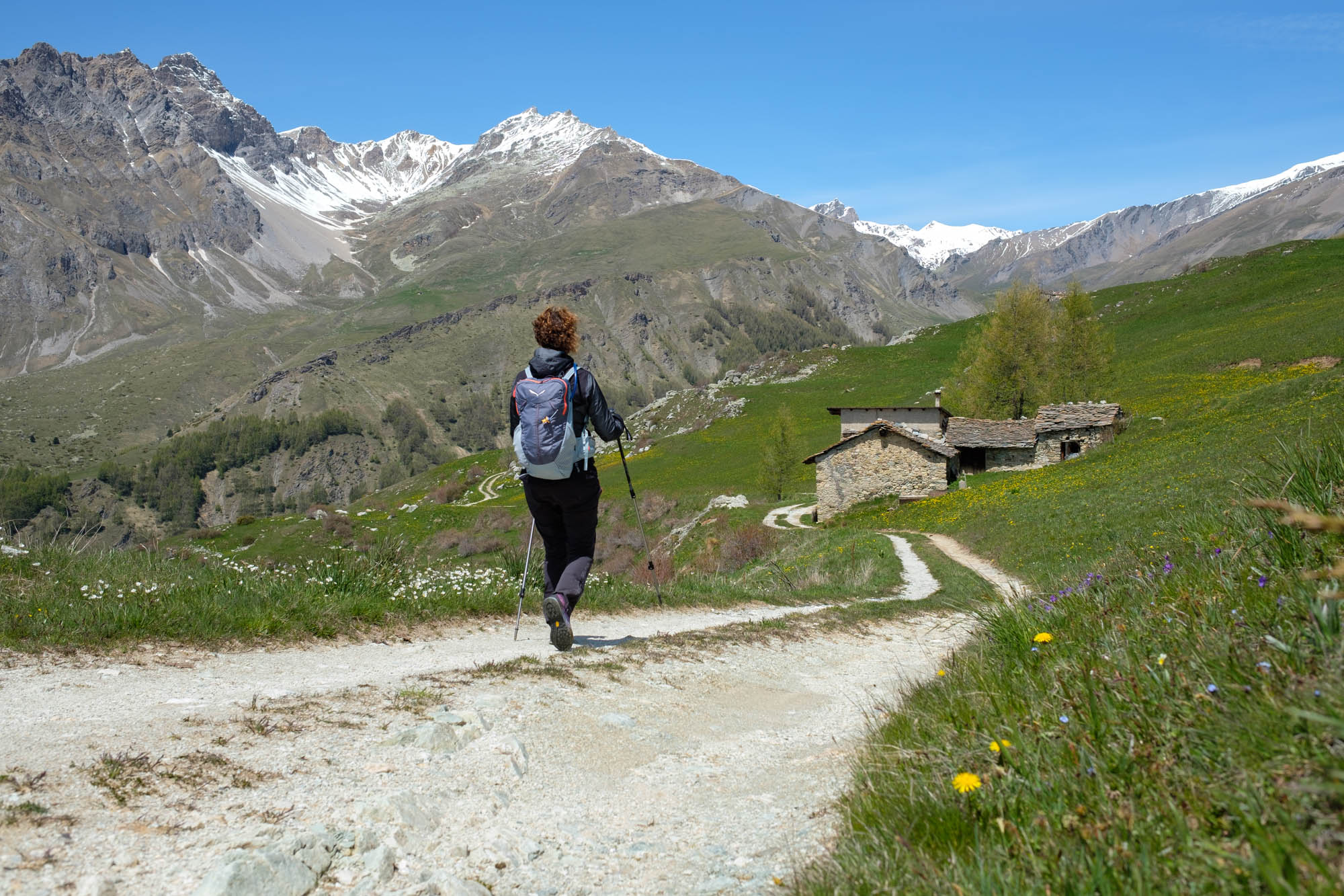
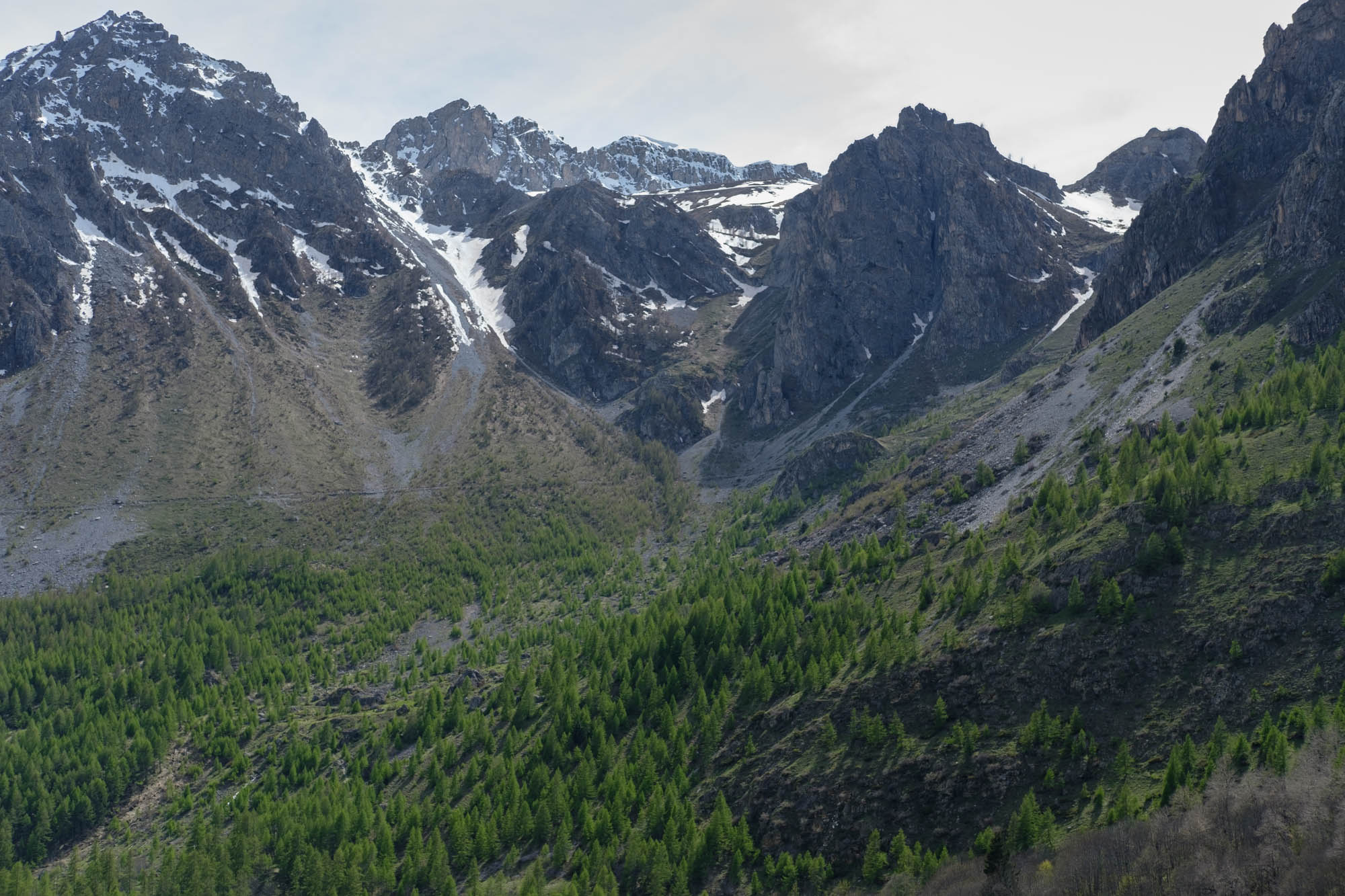
A fairly demanding stage that offers enchanting views of the upper Maira valley, with its stone villages immersed in the woods at the foot of a crown of mountains. The icing on the cake is the arrival in Chiappera, a wonderful village topped by the Provencal/Castello group, an impressive rocky massif that emerges vertically from the meadows.
Follow the road on the right-hand side of Saint Stephen’s Church. Just beyond this point, take the small road that climbs to the left and soon becomes a path. After a few dozen metres, turn right onto the mule track that crosses the road that goes up to Vallone twice.
Once you reach the hamlet, walk between the houses and take an old mule track that continues among the ash trees, cutting across the long hairpin bends of the carriage road that leads gently towards the Ussolo cabin, an old refuge building that is no longer in use. When you reach the Draio granges, turn left (fountain) near a large farmhouse and walk uphill on the tree-lined path to cross the dirt road again.
The path resumes just beyond this point, heads towards some rocky walls and then climbs steeply to a hillock near a small iron cross, where a wide view of the upper valley opens up.
A little further on, go past the Podio granges and cross the road again near a votive pillar. Take another shortcut past an old hut below the bold Lausa peak and up to the Passo grange.
Proceed along the dirt road and after a few gentle bends, you will reach the beautiful plateau that houses the Chioligiera granges. Follow the road again, which has a rougher and more uneven surface, towards the head of the valley. After a few hundred metres, pass a water intake and turn left onto the path (cairn) that goes downhill and crosses a brook, then takes a wide semicircle to the left.
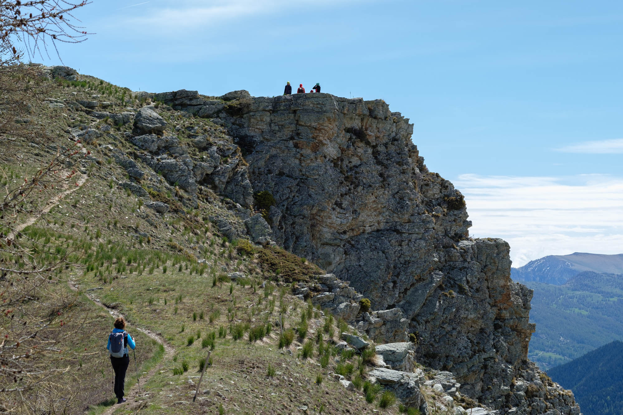
Further on, bend slightly to the right and continue through a beautiful larch wood towards a visible narrow pass. The slope becomes steeper and a few sharp hairpin bends lead to the flower-filled clearing before the Serasin pass. It is worth making a very short detour to the nearby Culour peak, an exceptional scenic balcony located just to the east.
Once back at the pass, cross over and enter the town of Acceglio. Go downhill onto the grassland, closely following a furrow that becomes more and more visible.
Further down, another short detour off the path is recommended, towards the rocky spur of the Madonnina peak, a splendid vantage point over the Unerzio valley, the upper Maira valley and the Traversiera valley.
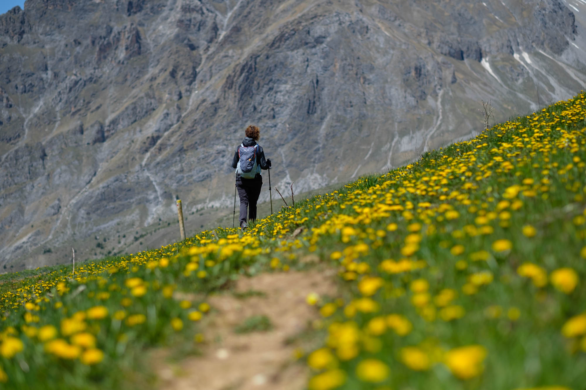
The path continues downhill amidst endless dandelion blossoms, towards two mountain huts in a magnificent location. This then becomes a dirt road flanking the Serri soprane grange (fountain). After 200 metres, keep to the left at a fork in the road and follow the dirt track that descends gently in endless hairpin bends to the Serri sottane grange.
Change direction and descend diagonally into a dense larch forest. Further down, the road makes several hairpin bends, passes the Durazza sottane grange, crosses the Mollasco stream, and leads to the other side of the Traversiera valley.
Go down towards the valley on the dirt road that almost immediately becomes a tarmac road. This starts out flat and then goes downhill towards Colombata and then Lausetto. After passing the first house, take the dirt road on the right that leads to the gracious and secluded chapel of San Maurizio.
Circle it completely and take the path to the left in the direction of Ponte Maira and Chiappera. The path winds its way slightly downhill through a large meadow area and, towards the end, crosses the sunken Serrancia stream. Here and there, large piles of stones can be seen: in the past, these meadows were carefully cleared of stones, probably to allow hay to be cut without ruining the scythe.
Go straight on at a fork and, after a short stretch of spruce trees, leave the path on the left that descends towards Ponte Maira, clearly visible below. Continue on the flat stony balcony, alongside a tunnel, cut across the steep slopes of the Boulliagna mountainside and thread your way through the spruce trees again. The route continues through lavender and juniper trees and shortly afterwards passes a second tunnel.
Further on, the path crosses a scree area and becomes steep at the end. After leaving a track on the left that goes downhill towards the main road, continue uphill past a hut. When you come to some buildings, follow the dirt track to a very scenic wooden bench.
Continue slightly downhill on the dirt track to the knoll called La Crocetta, where there is a narrow but high wooden cross. Leave the little road that goes down to Saretto on the left, and take the one on the right that goes slightly downhill through dense vegetation with remarkable views of Auto Vallonasso.
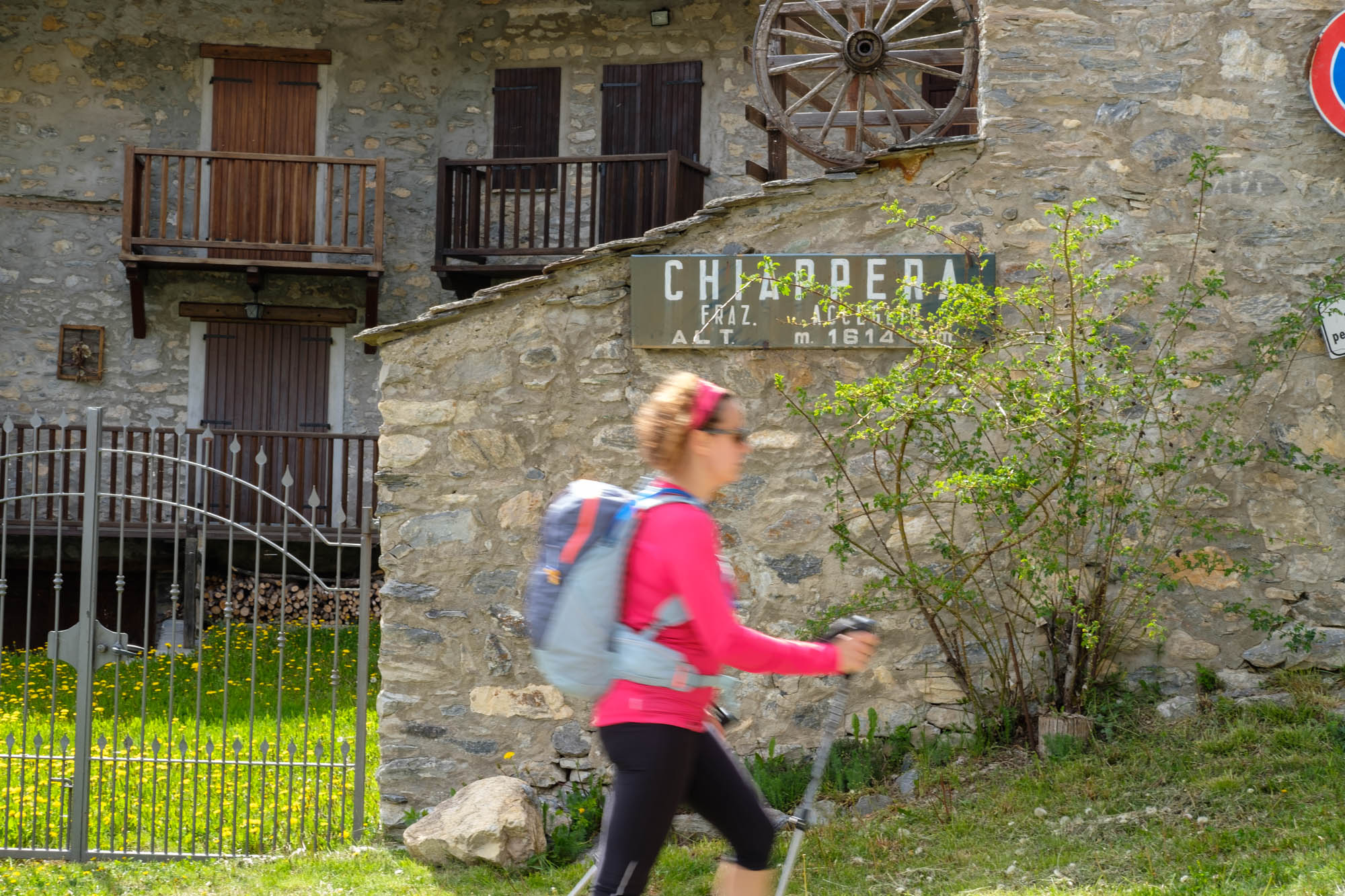
After a kilometre and a half of very pleasant walking, you will reach Chiappera, a beautiful village that has been almost completely renovated in recent years.
Text and photos by Cuneotrekking.com
Information
- Ascent: 1,000 m
- Descent: 700 m
- Distance: 16.6 km
- Starting altitude: 1,337 m
- Max altitude: 1,068 m
- Difficulty: E (Hiking)
Notes
Once in Chiappera it is worth getting close to the spectacular Stroppia waterfalls, which with a jump of over 500 meters are the highest in Italy. They reach their full beauty in June and then dry out completely in the rest of the year.
On the trail
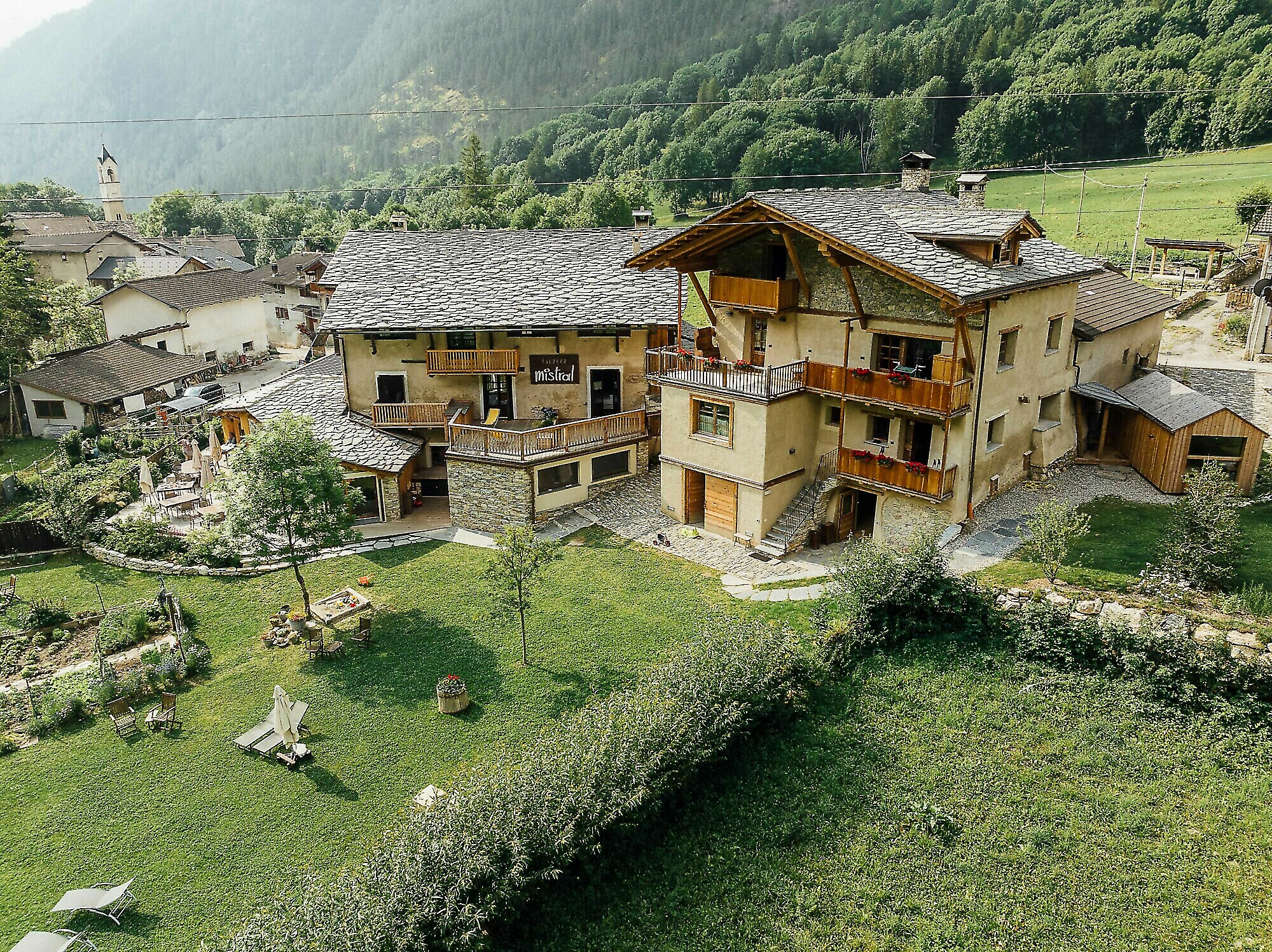
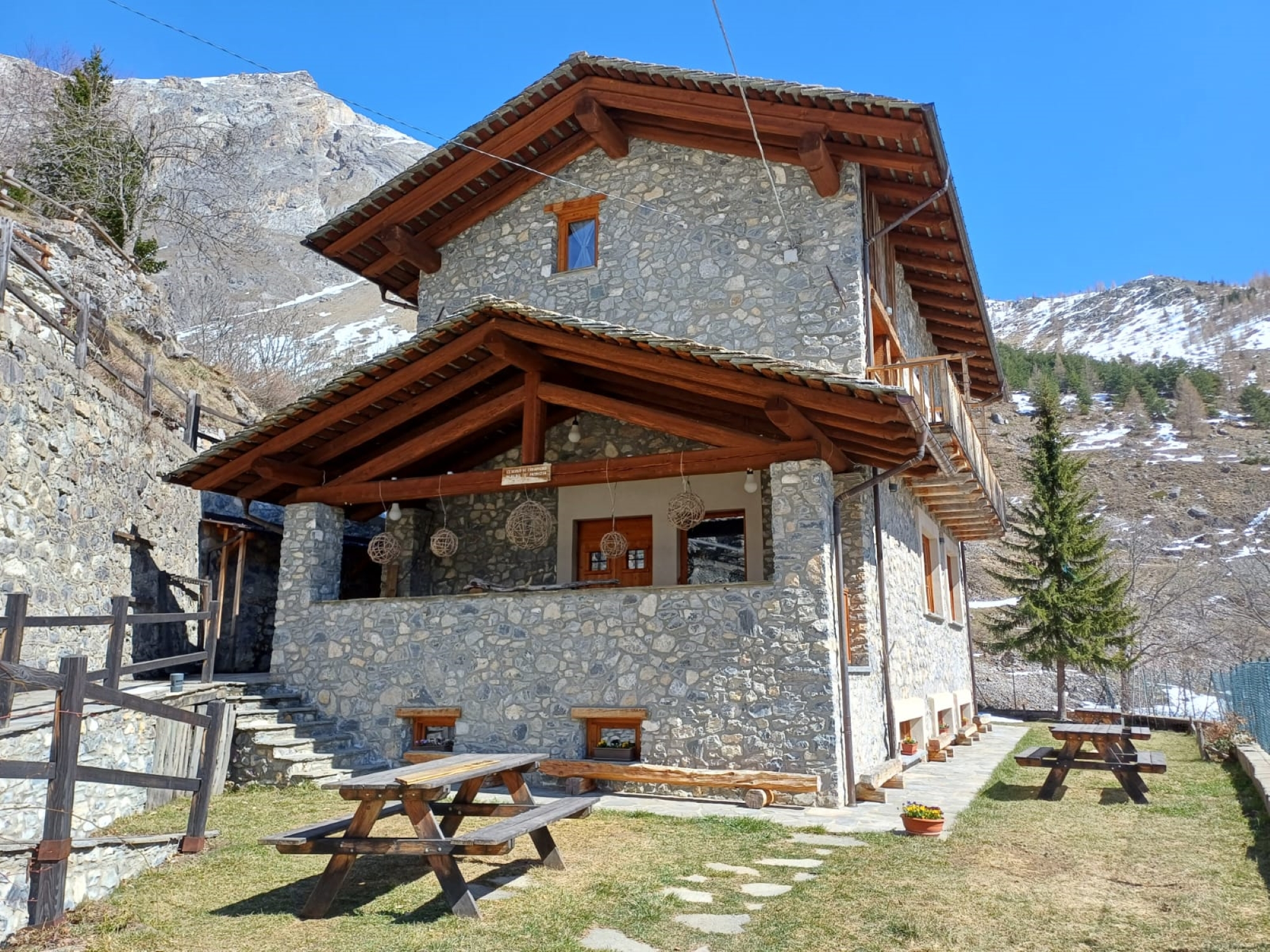
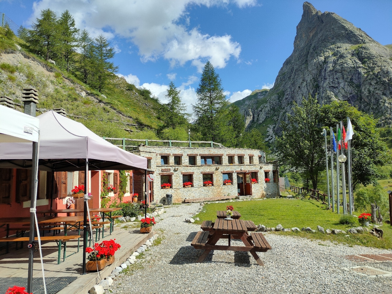
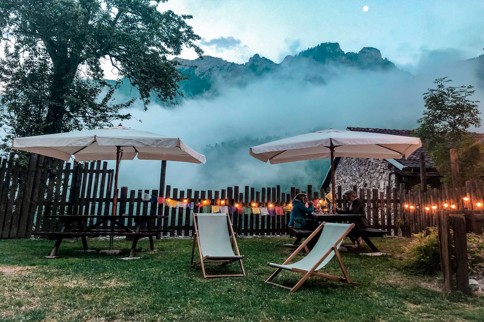
Here are the points of support of this stage


