Twelfth stage
From Marmora to Palént

A stage that goes around the steep slopes of Mount Buch on the Napoleonic Road, a pleasant hillside path facing first the Marmora valley, then Stroppo and finally Palént.
Follow the tarmac road back to the Vernetti hamlet. After crossing the bridge, leave it for a path that crosses the tarmac road further up and leads to Reinero, a hamlet rich in valuable architectural features.
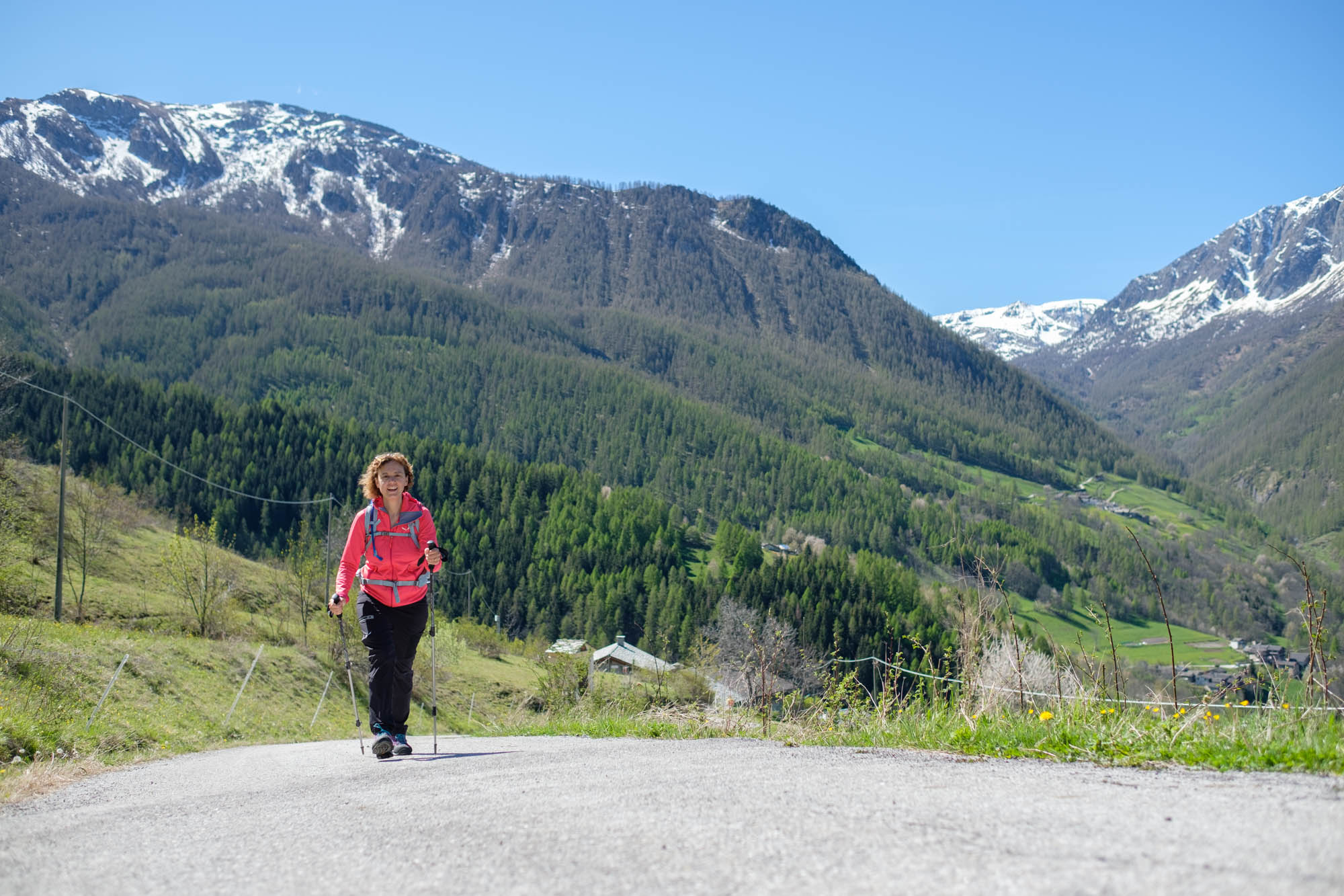
Pass the houses and the old communal oven. At the fountain, turn left onto the paved section. Rejoin the tarmac road again, where excellent views open up to the west. Ignoring all detours, you will arrive at the parish church of San Massimo, with its Gothic bell tower. It has been restored several times over the centuries and is situated in a magnificent position overlooking the entire Marmora valley.
Descend on the tarmac road to the Superiore hamlet. Leave it near the chapel (fountain) to turn onto the dirt road that continues to the right. 150 metres after the houses it becomes a beautiful path that runs along the edge of large meadows.
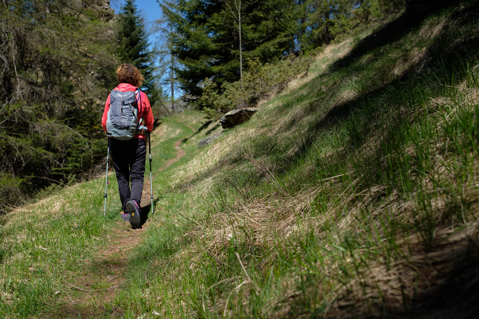
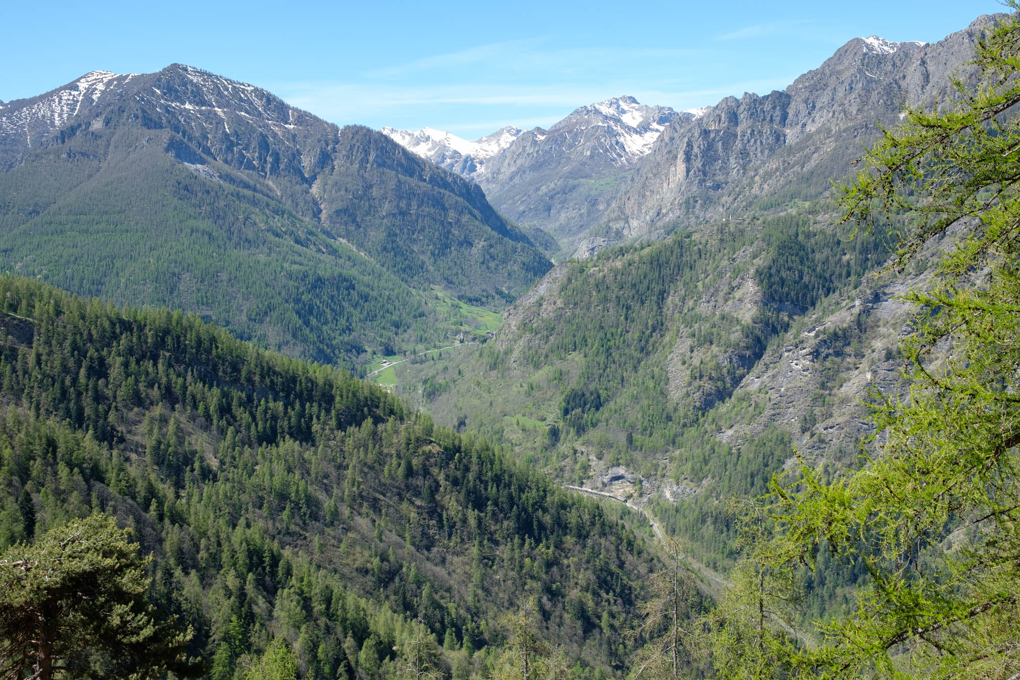
After a wooden cross, it begins to climb more steeply through a dense pine forest and then becomes a beautiful, almost flat stretch of hillside known as the Strada Napoleonica. Follow the steep slopes of Mount Buch closely, rounding several ridges. From time to time there are beautiful views over the Preit valley, the narrow road up from Ponte Marmora and further on the upper Maira Valley.
Once at the modest Encucetta pass, disregard the path leading down to the valley floor. Go uphill to the right as far as a pass that some maps show as the upper Encucetta pass, which is already in the town of Stroppo. Go along it and descend on the opposite side, then tackle a brief overhanging stretch that is almost level.
After passing a few streams, the path continues to climb, passing at the foot of the Rostagn crevice rocks and finally crossing a ridge, the highest point of the stage, beyond which there is a beautiful view of the Celle Macra hamlets. From time to time, the Stroppo valley, Morinesio and the perched sanctuary of Santa Maria di Morinesio appear to the north.
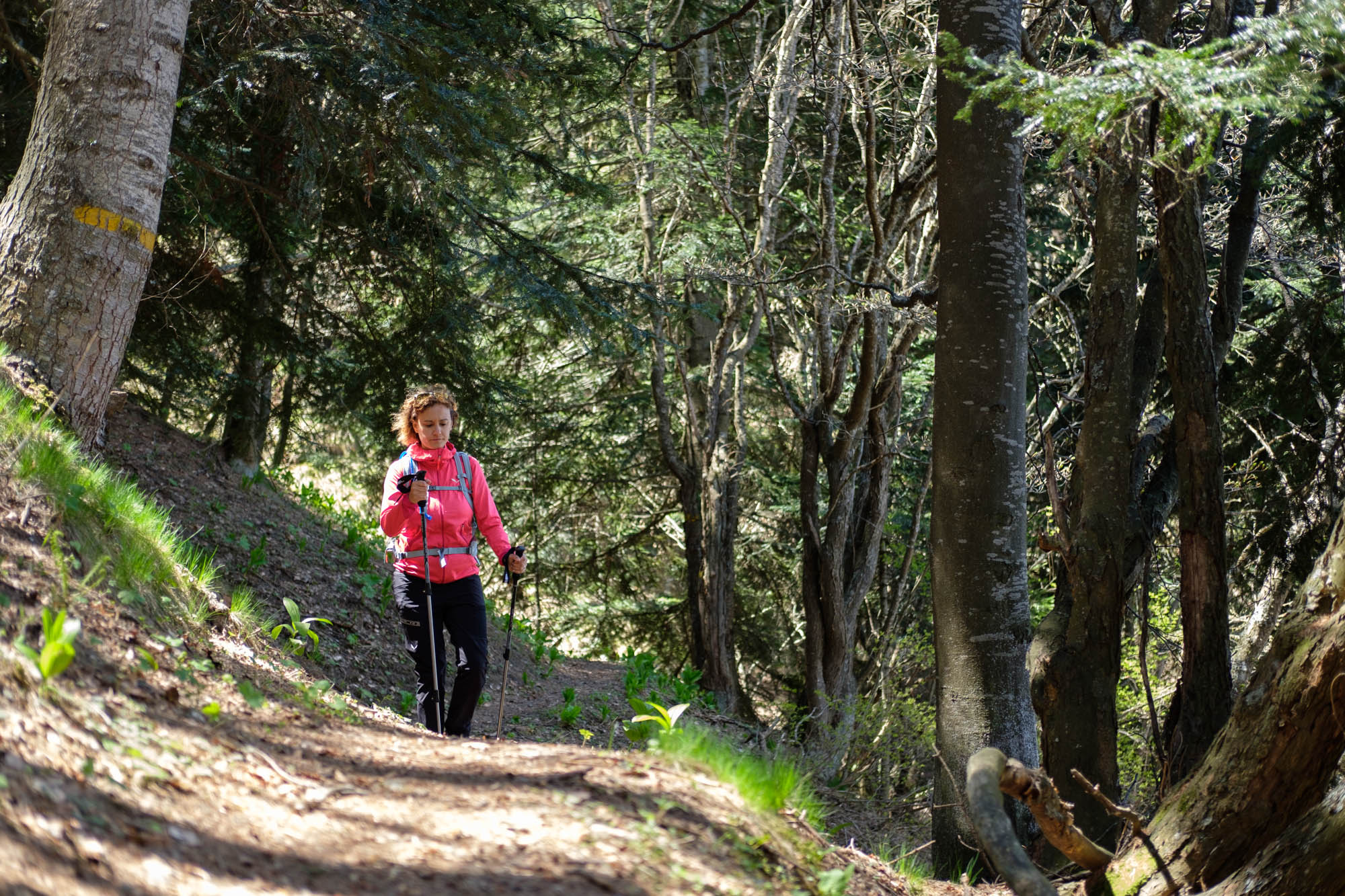
The path descends steeply, crosses two streams, then becomes a service forest track that descends gently through dense mixed woodland and joins the dirt road that leads from Palent to Grange Curbia. Follow it to the left downhill along the wooded ridge right on the border with the town of Macra.
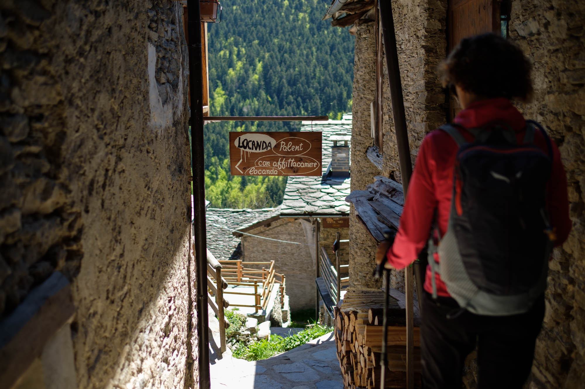
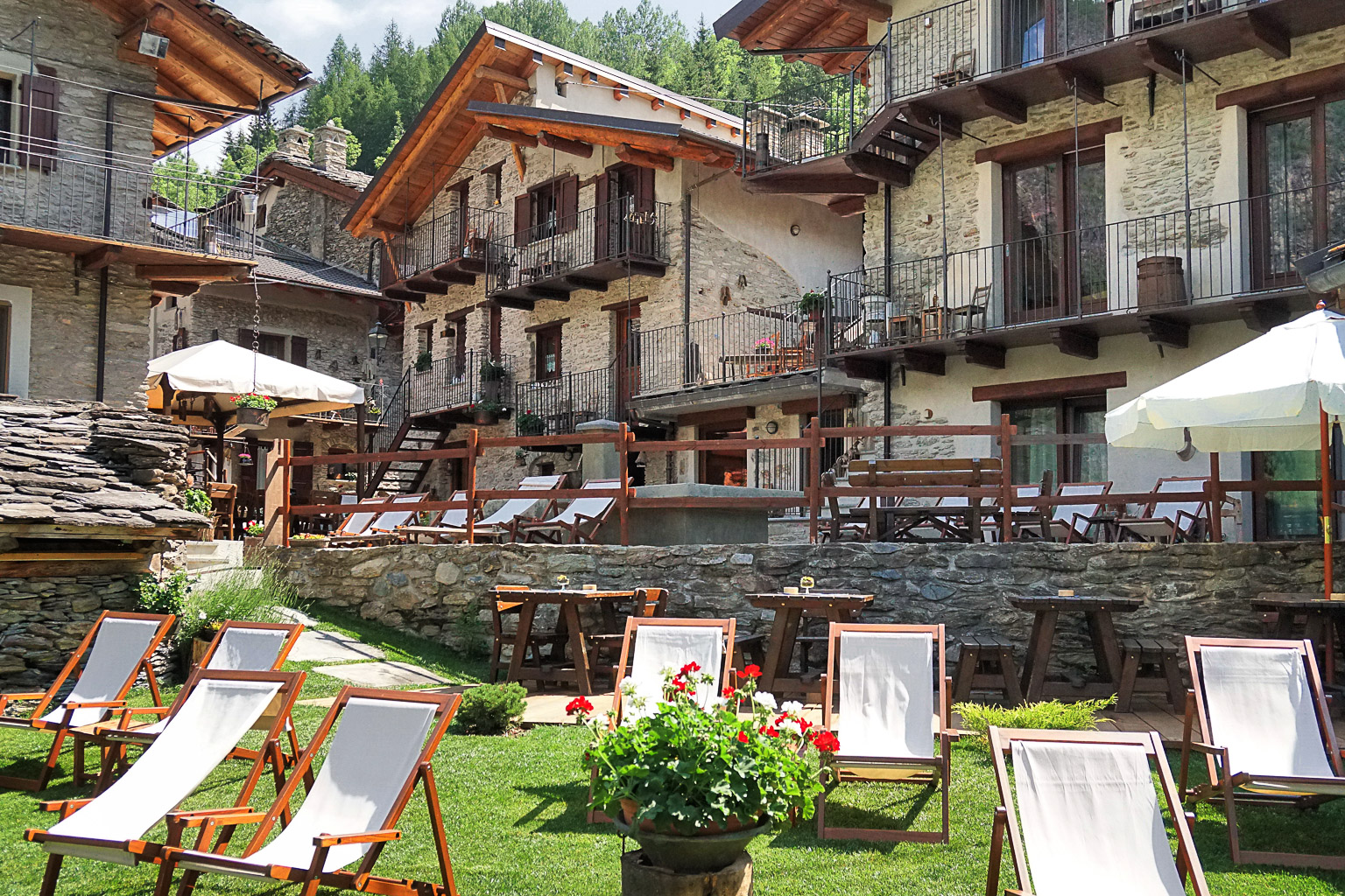
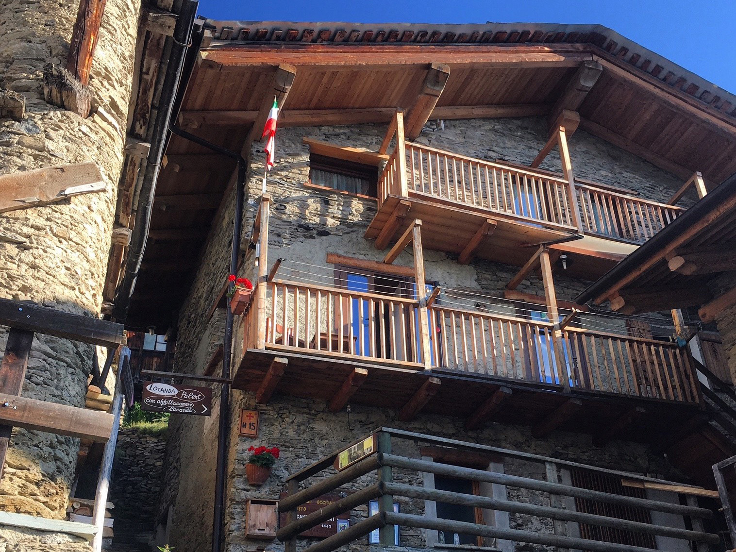
Leave it after 300 metres for a shortcut to the right that cuts across long hairpin bend. At the lower end of the path, cross the dirt road and then turn right down a grassy path that leads directly among the houses of Palent, where the stop point inn is located.
Text and photos by Cuneotrekking.com
Information
- Ascent: 500 m
- Descent: 350 m
- Distance: 10.5 km
- Starting altitude: 1,290 m
- Max altitude: 1,760 m
- Difficulty: E (Hiking)
On the trail
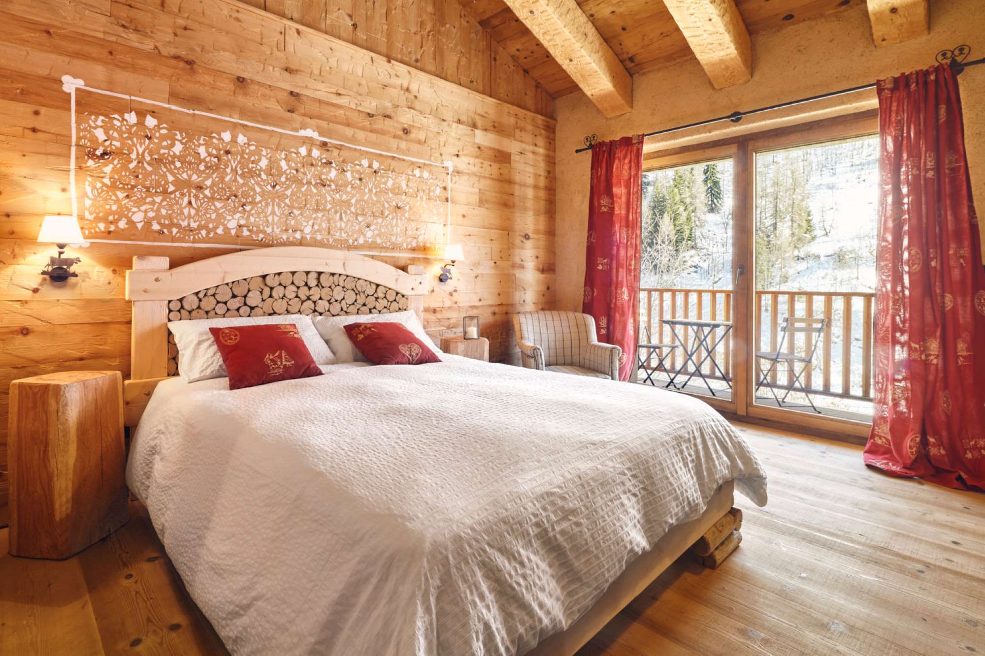
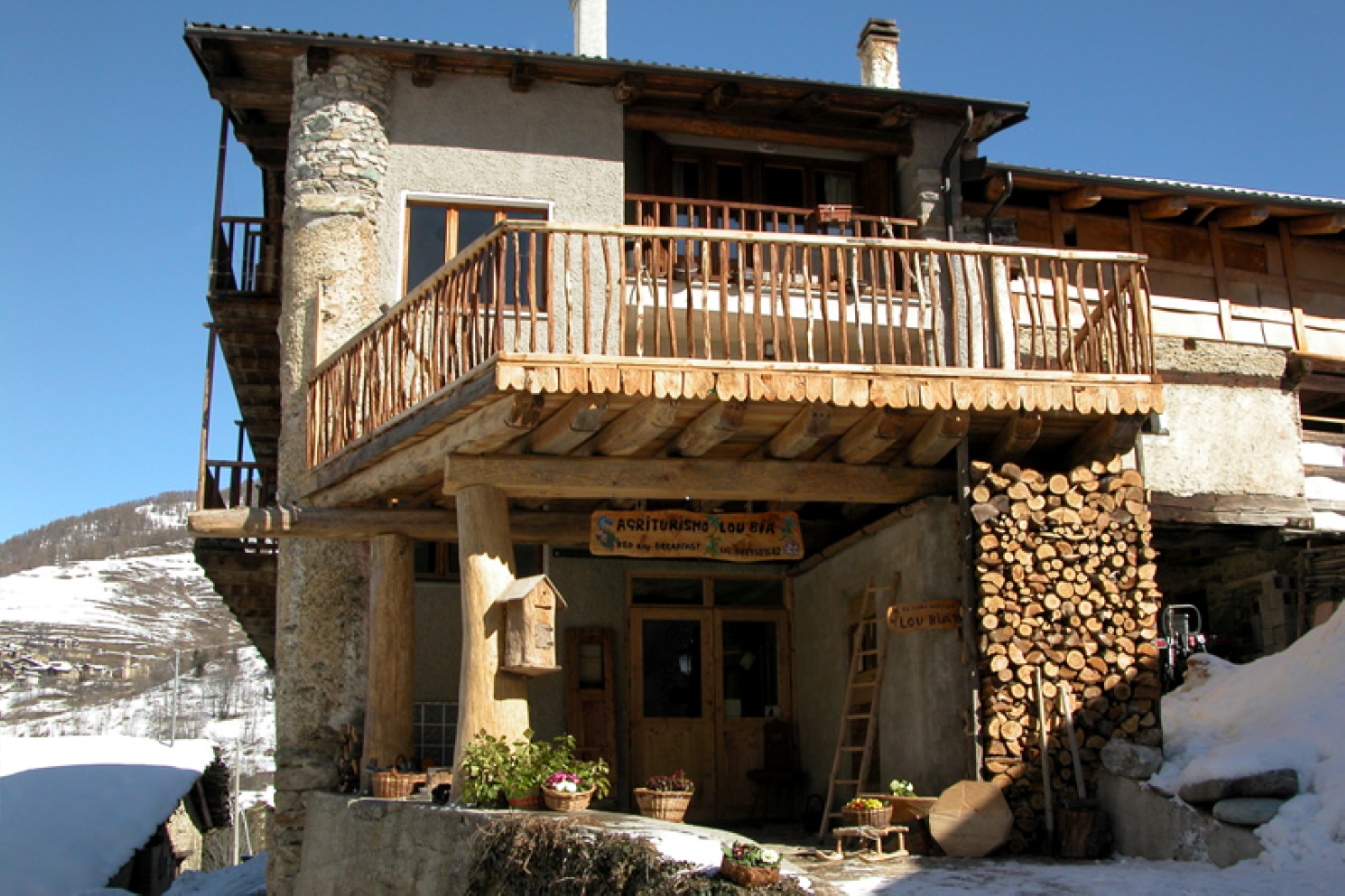
Here are the points of support of this stage


