(18) Alta Maira Bikes – Strada dei Cannoni

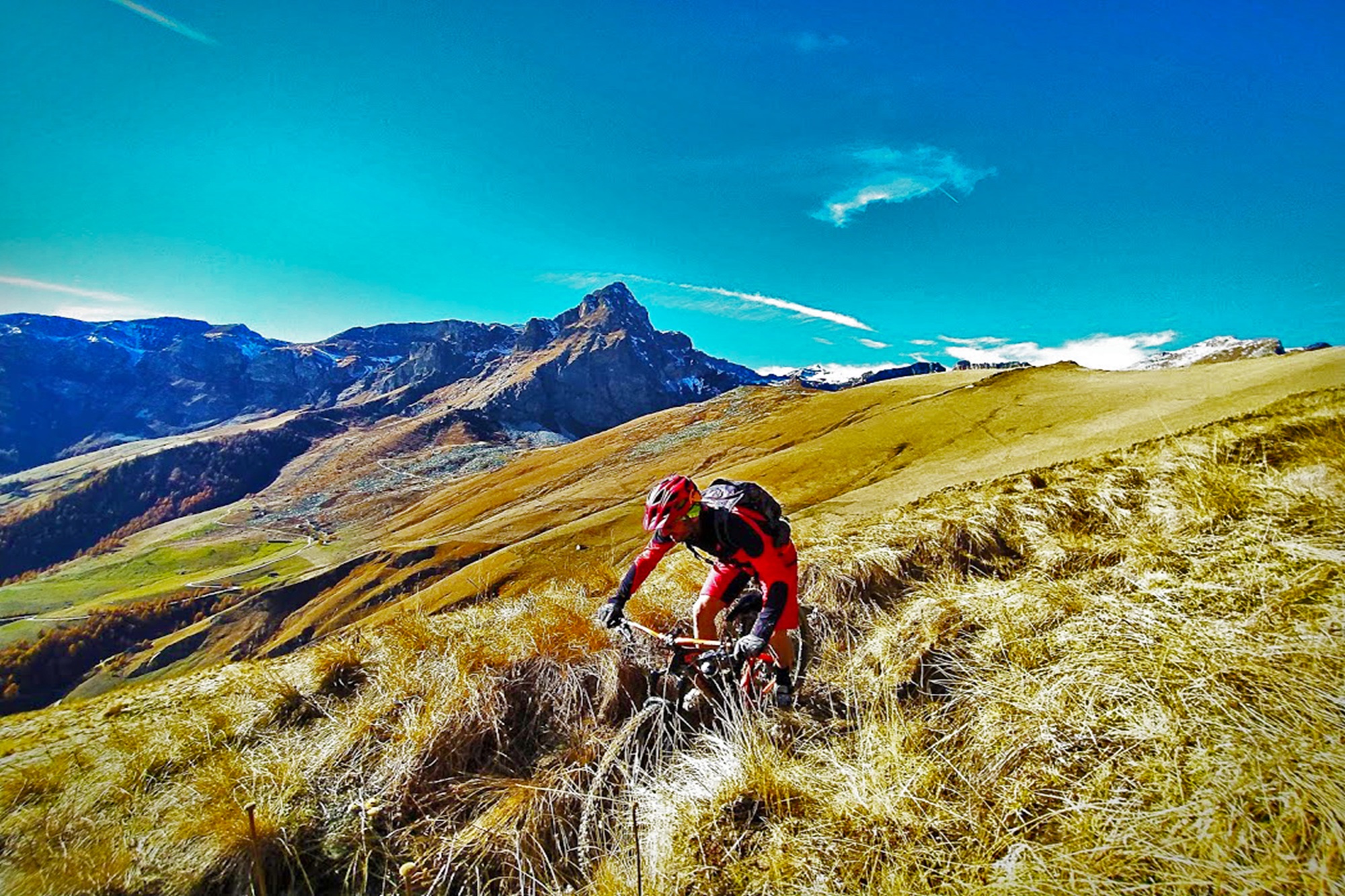
The effort of pedaling is rewarded by the beauty of the natural environment in which the route develops: the slopes overlooking the ravine, the large pasture basin that welcomes the 30 villages of the municipality of Elva, the unmistakable bell tower of the parish church of Maria Vergine Assunta with the masterpieces of Hans Clemer, the “three three thousand”: Pelvo, Chersogno and Marchisa which frame Lake Camosciere and the viewpoint on Monviso with the border peaks of the upper Maira and Varaita valley. Part of the ride takes place along the final stretch of the “Strada dei Cannoni” which ends at Colle della Bicocca.
The departure of the itinerary takes place from Prazzo Superiore (1040 mt). Follow the “PedalMaira” cycle path in the direction of the valley along the hydrographic right of the Maira stream until you reach the hamlet of Pontemarmora where the dirt road gives way to asphalt.
Continue along the SP422 for 4.4 km until you take the road to Elva (SP335) on the left. Continue uphill for 13.7 km reaching the villages of Paschero, Cucchiales, Contà, San Martino. Once you reach Colle della Cavallina (1940 m), turn left and, downhill on a forest track, you reach Colle San Giovanni (Elva), an exceptional panoramic point over the Chersogno (3023 mt asl), Marchisa (3074 mt asl) and Pelvo (3060 mt asl) mountains. m), as well as on the entire ravine that delimits the Elva basin.
Continue pedaling along the track keeping to the right, downhill, and reaching, immersed in a thick larch forest, the villages of Varua, Isaia and Mattalia until reaching, with a final ramp, the village of Serre (Elva capital).
Follow the asphalt, uphill again, towards the Martini and Grangette mountain areas where, just before the houses, you take the agro-pastoral track that goes up on the right (white-red signs) for 3.2 km. At an altitude of 1,870 meters above sea level, avoid the deviation to the left towards the villages of Viani, Laurenti and Garneri, instead continuing on the right, along the hairpin bends that rise up until they join the ex-military track known as “Strada dei Cannoni” (2,196 meters above sea level ).
Continue to the left in the direction of the Bicocca hill, first up a moderate climb and then downhill (2,285 meters above sea level). Here the wide track ends and, avoiding going down the Varaita side (Bellino – Chiesa), you continue along the mid-hill path (T6) which cuts through the south-eastern slopes of Mount Pelvo; the 6 km that separate the hill from the Elio Bonfante bivouac reserve grassy and smooth stretches with more stony ones where you are forced to proceed on foot.
With a variable progression, uphill, you pass the Ciarmassa, Pellonetti and Bella coasts halfway up the hill, reaching at an altitude of 2,460 meters above sea level the crossroads of the link road connecting to the underlying Gias Vecchio basin (wanting to reach the Vallonella plain with the beautiful Camoscere Lake, the historic barracks and the CAI Elio Bonfante bivouac, you maintain the altitude, overcoming a short rocky cliff with the hand bike).
The downhill path on Gias Vecchio is short, but requires good driving skills; a final effort allows you to go up the track up to 2,397 meters above sea level of the saddle between the East and West Chiosso hills and from here continue until you pass the Grange Chiotti and, still descending into the valley of San Michele di Prazzo, continue following the signs of reference along wide dirt roads and asphalted driveways.
Information
- Ascent: 2,390 m
- Distance: 57.1 km
- Region: Prazzo
- Seasons: Autumn, Spring, Summer
- Difficulty: Hard
Mountain sports are potentially dangerous activities and must be undertaken with the right equipment and preparation. We invite you to consult the weather and avalanche bulletin before embarking on an excursion and/or contact a guide for assistance. The Valle Maira Tourist Consortium declines any responsibility in relation to the advice and itineraries shown here, which must be evaluated personally according to the weather conditions and snow cover.


