Liretta Trail Running

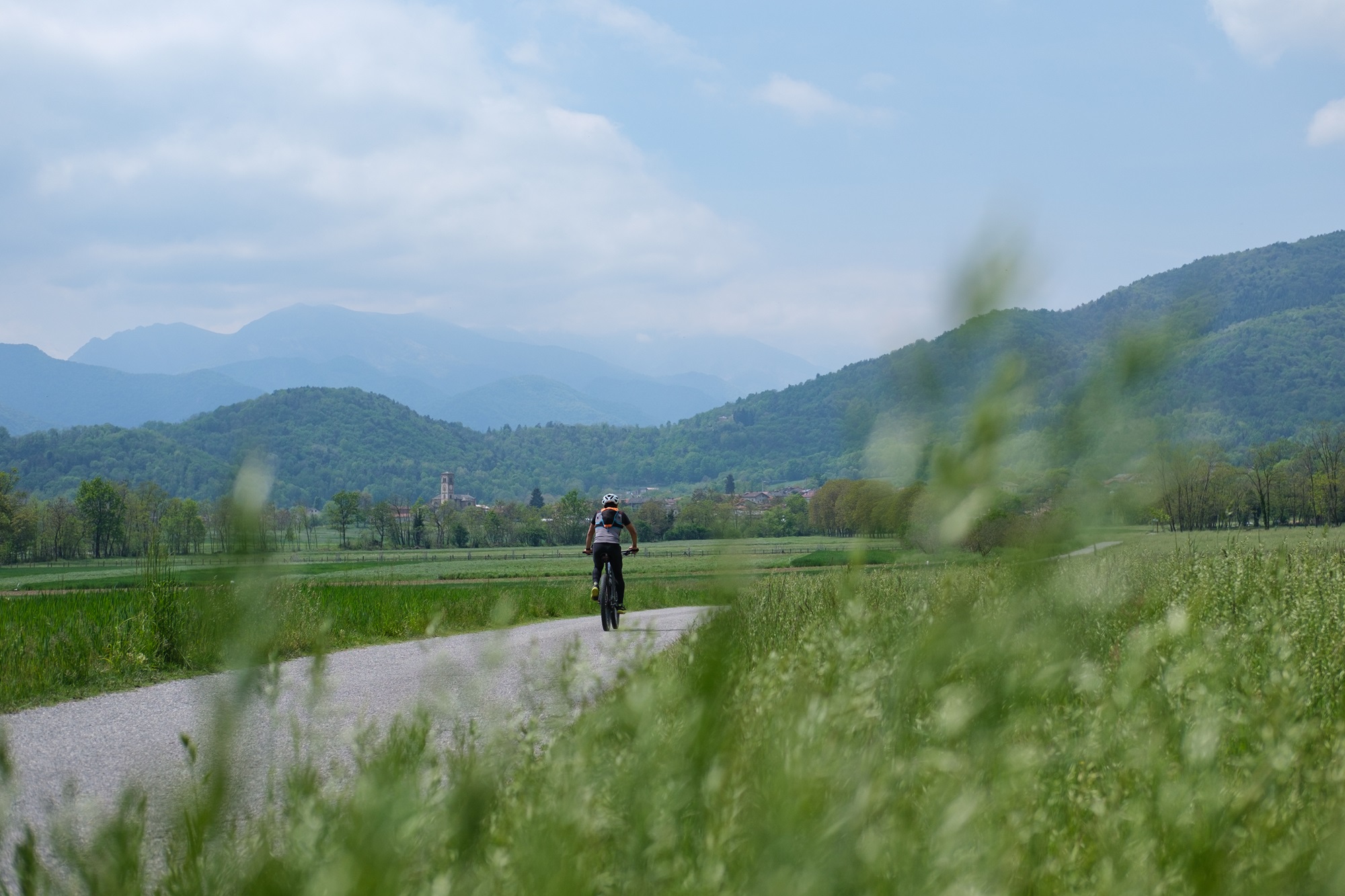
A varied and smooth trail running itinerary that touches the main points of interest of Villar San Costanzo and culminates with the arrival at the paragliding take-off point, a spectacular panoramic viewpoint overlooking the Cuneo plain. A route also suitable for walkers, possibly shortening it through one of the numerous escape routes present.
Reach Villar San Costanzo and leave the car in the small car park in front of the parish church of San Pietro in Vincoli.
From the roundabout in front of the parish church of San Pietro in Vincoli, an ancient Benedictine abbey, pass in front of the green area and take via Pramallè, heading north. Follow it for eight hundred meters of gentle descent, continuing straight at the crossroads.
Ignoring some secondary branches that lead to groups of houses, we begin to gain altitude. Further on, when the surface becomes dirt, the road known as stra di mort, “road of the dead”, so called because it was once used to bring the deceased down to the valley, begins. After a curve you pass near a votive pillar surrounded by unexpected prickly pears which, thanks to the mild climate and excellent exposure to the sun, find a favorable habitat in this area.
With a long meander, alternating sustained stretches with recovery ones, you arrive at the asphalt road that goes from Morra del Villar to Rivoira. Follow it slightly uphill to the left for a hundred metres, then at a crossroads turn right towards Rivoira Inferiore (817 m). With a slightly flat stretch you reach the houses of the village beyond which the surface becomes a dirt road.
After two hundred meters at a crossroads, keep left and continue into a mixed forest with a prevalence of chestnut trees. Ignoring all the lateral deviations, you reach the Strada dei Cannoni, an ancient and very long military road at high altitude which from the Rossana pass leads to the Bicocca hill. Just before touching the asphalt, ignore a small path on the left used for mountain bike descents and immediately after take a forest track that goes up to the left into the woods.
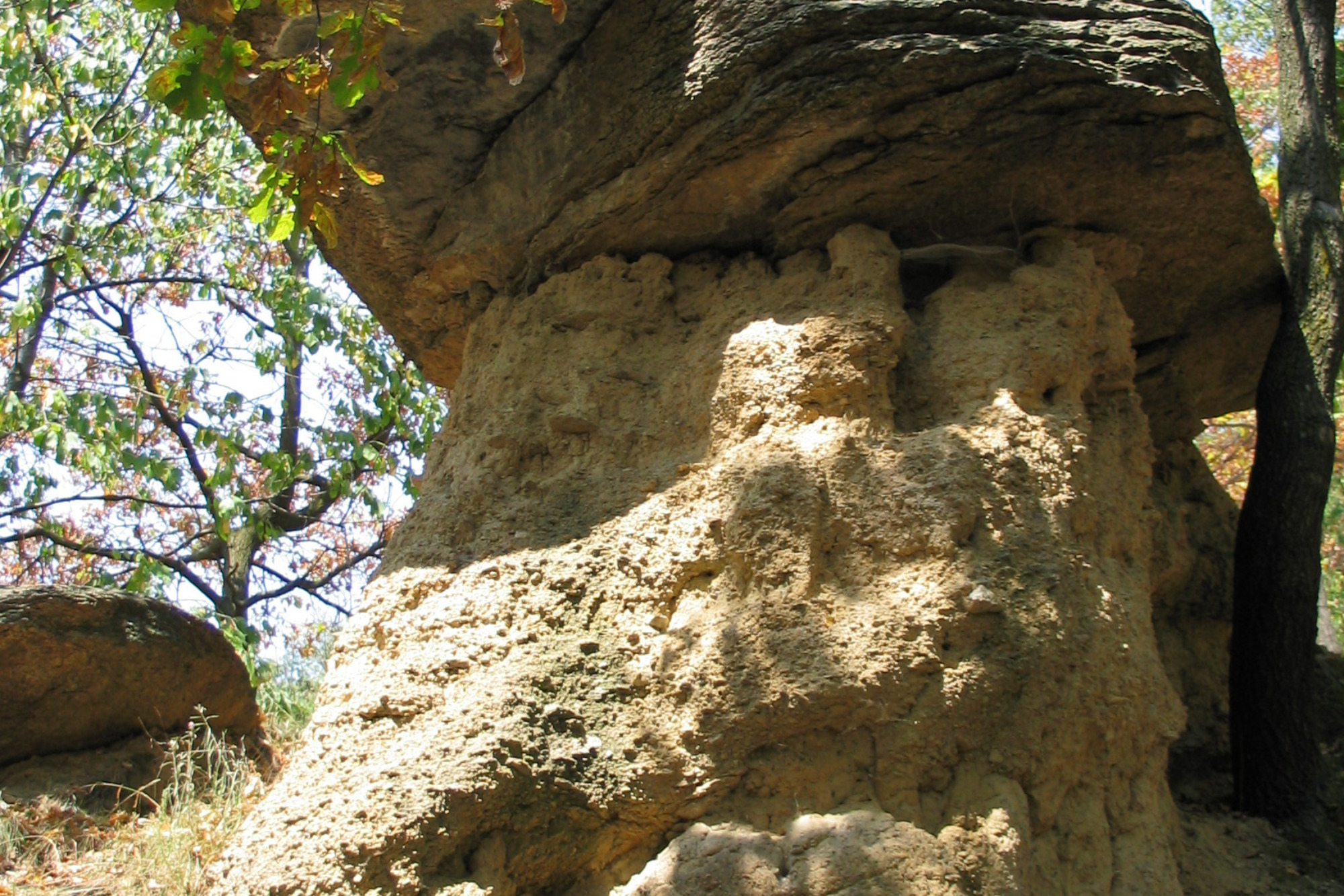
Once you reach a wider dirt road, follow it to the left. When this ends, continue on a fun single track that stays roughly on the crest. Ignoring some lateral deviations, take a slight descent back onto the Strada dei Cannoni which has now become a dirt road. Turning left a few hundred meters later, it is worth making a short detour to the right to the Bragamonti viewpoint (indication), a rock jutting out over the valley of the same name.
Once back on the Strada dei Cannoni, follow it as it winds with sinuous progress and always moderate slopes among the woods and blueberry plants. Once you reach a crossroads, continue straight and shortly after take a wide path on the left which with a sharp climb leads to the paragliding take-off point, an exceptional panoramic point overlooking the plain.
After a well-deserved break, turn right onto the access road, closed at the base by a barrier, descending onto the Strada dei Cannons near the anonymous Liretta hill (1,075 m), surrounded by vegetation.
Ignoring a dirt road that descends to the left (usable by those who wish to shorten the route), continue to the right for four hundred meters uphill slightly. After passing a milestone (highest point of the itinerary), turn left onto a fun little path which with good surface descends into a birch forest and joins a wide dirt road. Follow it downhill to take another small path on the right near a hairpin bend.
After a pleasant stretch it becomes steep and you have to go down steps supported by wooden trunks. You soon arrive on the vertical kilometer path dedicated to Luca Borgoni, an athlete who died prematurely on the Matterhorn whose story was told by his mother in the book “Take me there”.
Follow it to the left and with a very steep and demanding descent end up on a dirt road arriving from the Foresti village. The first part of the Occitan Routes develops along this stretch, a long multi-stage itinerary that climbs from this side of the Maira valley to return from the other.
Ignoring any deviations, follow it to the right, cutting the slope through the woods. With slight ups and downs after a couple of kilometers you arrive at the splendid abbey of San Costanzo al Monte, composed of the church superimposed on a crypt of exceptional size, of very ancient origins and remodeled several times over the centuries.
Continue ignoring a dirt road that goes up to the right and follow the small road with a concrete surface that goes down. After passing a clearing, the surface becomes asphalted and you soon reach the scruffy sanctuary of Santa Maria Delibera (730 m), whose origins date back to the 11th century but which has been remodeled several times over the centuries.
Continue for a few dozen meters on asphalt and at the bend turn onto a nice dirt road that branches off to the left. Some particular wooden benches can become an excellent spot for a break.
After three hundred meters keep all the way left. The dirt road narrows to a path and after a slight climb it begins to descend sharply, joining a dirt road. Follow it to the left passing a dressage field.
Further down, having reached a small asphalt road, turn left, passing a small church and going down onto the provincial road leading to Villar San Costanzo. Keeping to the cycle/pedestrian path, follow it to the left, passing the Cannetum park, a theme park where structures from eras ranging from Prehistory to the Middle Ages have been reconstructed, and closing the route after five hundred meters near the parish church of San Pietro in Vincoli.
Cannetum was the original name of Villar San Costanzo, when it was still an ancient Roman garrison. The name derives from the marshy land, subsequently reclaimed by the Benedictine monks who settled in the area, in which nothing but reeds grew.
Photos and descriptions by Valerio Dutto of Cuneotrekking.com
Information
- Ascent: 550 m
- Distance: 15.5 km
- Region: Villar San Costanzo
- Seasons: Autumn, Spring, Summer
- Difficulty: Medium Difficulty
Mountain sports are potentially dangerous activities and must be undertaken with the right equipment and preparation. We invite you to consult the weather and avalanche bulletin before embarking on an excursion and/or contact a guide for assistance. The Valle Maira Tourist Consortium declines any responsibility in relation to the advice and itineraries shown here, which must be evaluated personally according to the weather conditions and snow cover.


