Third stage
From Alberti to Camoglieres

A decidedly interesting stage that after the first stretch changes completely compared to the previous ones and allows you to get to the heart of the Occitan routes. From the grange Rubbio, at the foot of the mountain massif of the same name, it becomes a beautiful balcony path which, with a pleasant and panoramic route, leads to one of the most fascinating villages in the lower valley: Camoglieres.
Proceed uphill on the tarmac road. After 250 metres, leave the tarmac road for a dirt track that descends to the left to the pretty Serre hamlet (green signpost of the Sentiero al Birrone, “Birrone Path”). Pass the stone houses to reach a fountain and a pillar decorated at the end of the Second World War. Turn north on the lovely dirt track that gradually descends, crosses a small bridge and then climbs again.
Go past a pillar, then cross the Chesta brook. The dirt road then turns south and widens out to join another one. Take a left downhill and descend to the Paolini hamlet. Turn right onto the dirt road that climbs up a double bend, then turn left onto a cemented section and go past the Fracchie houses, an excellent viewpoint over the lower Pagliero valley. A little further on, keep to the left to end up on the dirt road below. Follow it to the right, descending gently to the bottom of the Droneretto valley (fountain halfway along the route).
Further down, the road becomes a tarmac one and changes direction. Walk along it for a few metres, then turn right onto the forest track that crosses the Pagliero stream on a small bridge, and then climbs steeply into the woods on the slopes of the Rocche Rossa and Nera.
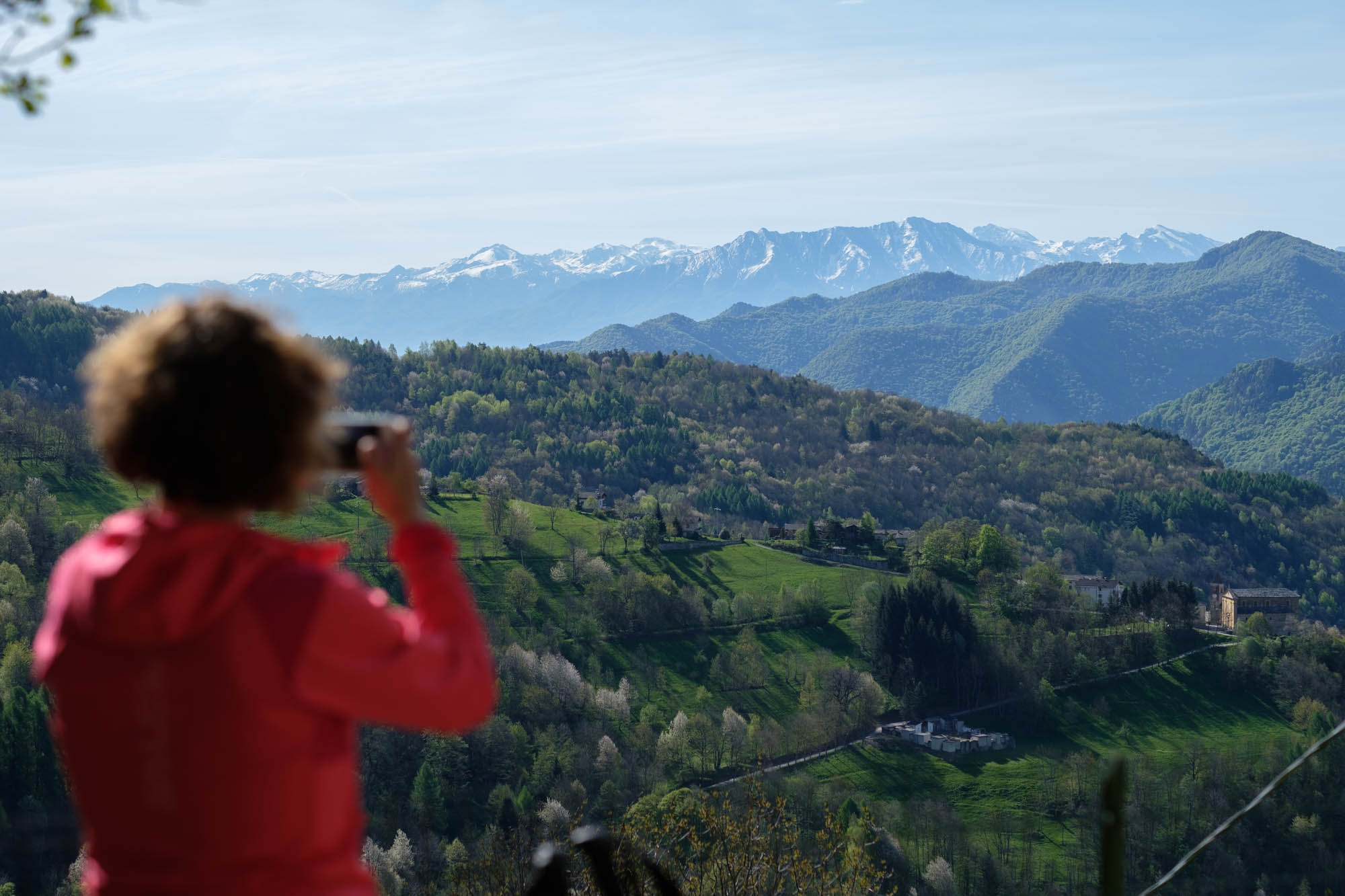
The dirt road then becomes a mule track, and passes narrow stretches through blueberries to arrive at a wonderful scenic rocky outcrop overlooking the Pagliero valley. The view stretches out over the numerous hamlets encountered in this and the previous stage.
After a final crossing, the trail comes to an end and the impressive rocky massif of Mount Rubbio is visible. Turn left at the edge of the clearing to join the dirt road that leads from San Damiano Macra to upper Rubbio. Turn left downhill and continue for about sixty metres, reaching lower Rubbio after a double bend.
Imboccare la mulattiera che si infila tra la casa a monte e un muretto a secco e si dirige verso ovest. Further on, disregard the path down from upper Rubbio. After passing a ruin, the path becomes a beautiful balcony section at the edge of a scree slope.
A little further on, you will come across the Elsa path coming from the valley. Keep to the right on a truly stunning stretch at the foot of the dizzying south face of Mount Rubbio. After descending a short but fairly easy stretch fitted with a chain, continue along a with a splendid view of the triad of peaks that reach 3000 metres: Chersogno, Marchisa and Pelvo d’Elva. In the next stages you will pass by the foot of these.
Back in the forest, you can take a short detour to the nearby Cucchietti peak (signposted Cucet), a wooded cusp that is not overly scenic. After returning to the path, head out again on a very scenic ridge. Disregard the Elsa path on the left, which leads back to Lottulo.
Go downhill to the right and then enter the dense pine forest of the wild Pral comba, which should be skirted entirely in a long semicircle. Once you enter the town of Macra, you cross a stream and come across a small ‘balma’ – a shelter where the rock acts as a roof, then suddenly the wood opens up. A little further on, you can see Villar, while Macra remains hidden at its feet a little further west. After passing the chapel of San Bernardo built on a scenic knoll, the impressive cliffs surrounding Camoglieres emerge, where there is also an adrenaline-filled climbing route.
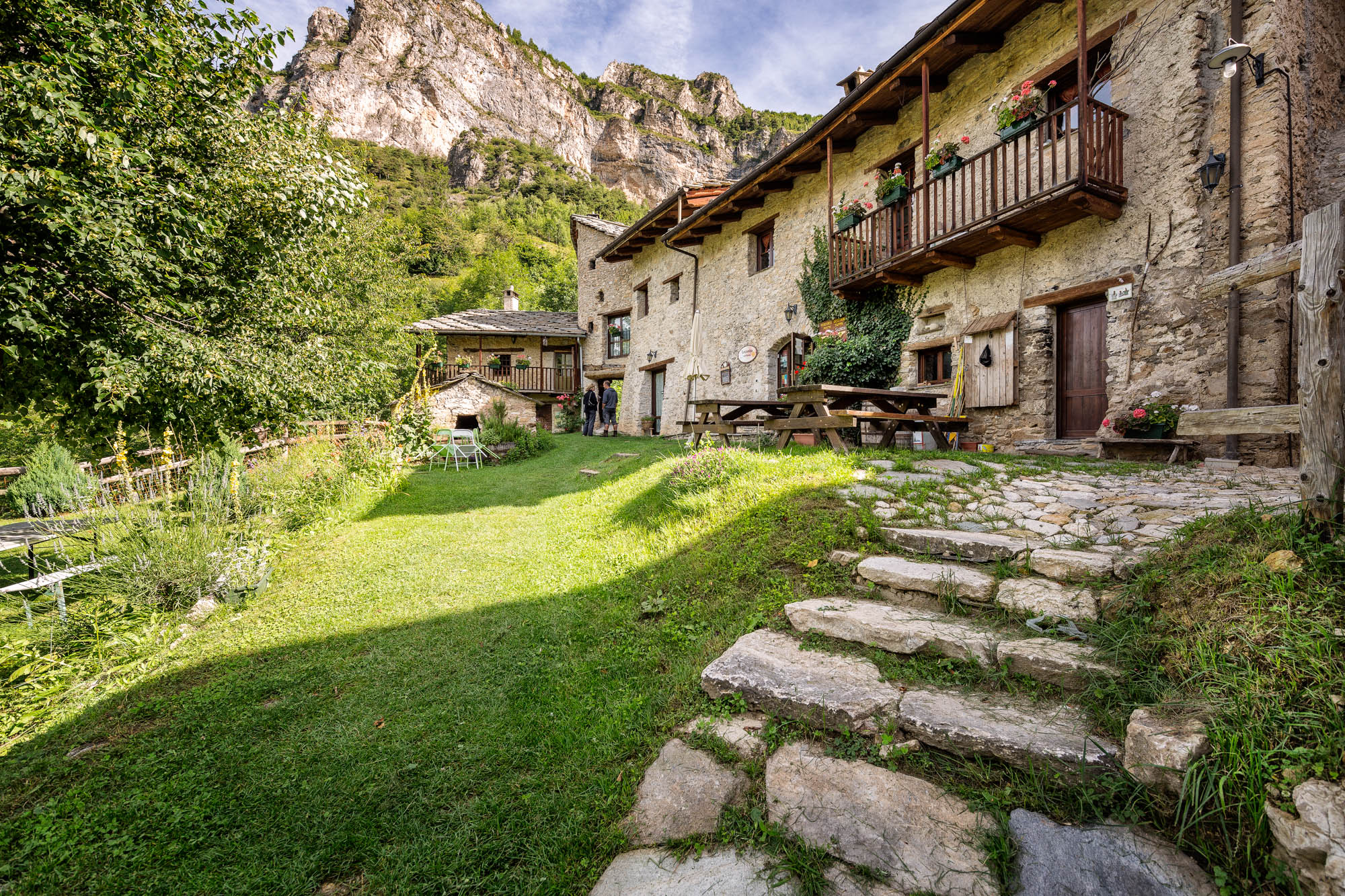
After a last stretch surrounded by dry stone walls, you will reach the beautiful houses of Camoglieres, a village with good sun exposure and a particularly mild climate. The stop point is located in the lower part of the small but maze-like hamlet. You can go down the asphalt road or, better still, wander among the houses to admire the frescoes by Giors Boneto, a travelling painter from the Po valley who painted frescoes of popular religious inspiration between the late 18th and early 19th centuries.
Text and photos by Cuneotrekking.com
Information
- Ascent: 500 m
- Descent: 750 m
- Distance: 12.0 km
- Starting altitude: 1,215 m
- Max altitude: 1,320 m
- Difficulty: E (Hiking)
Notes
The official route of the Occitan routes foresees to go down again on asphalt to Pagliero and from there go up again towards Scombe, Paolini and Fracchie. However, the variant indicated here is recommended from the stopover The field of the oak.
On the trail
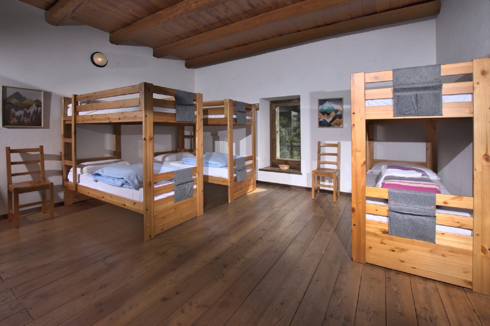
Here are the points of support of this stage


