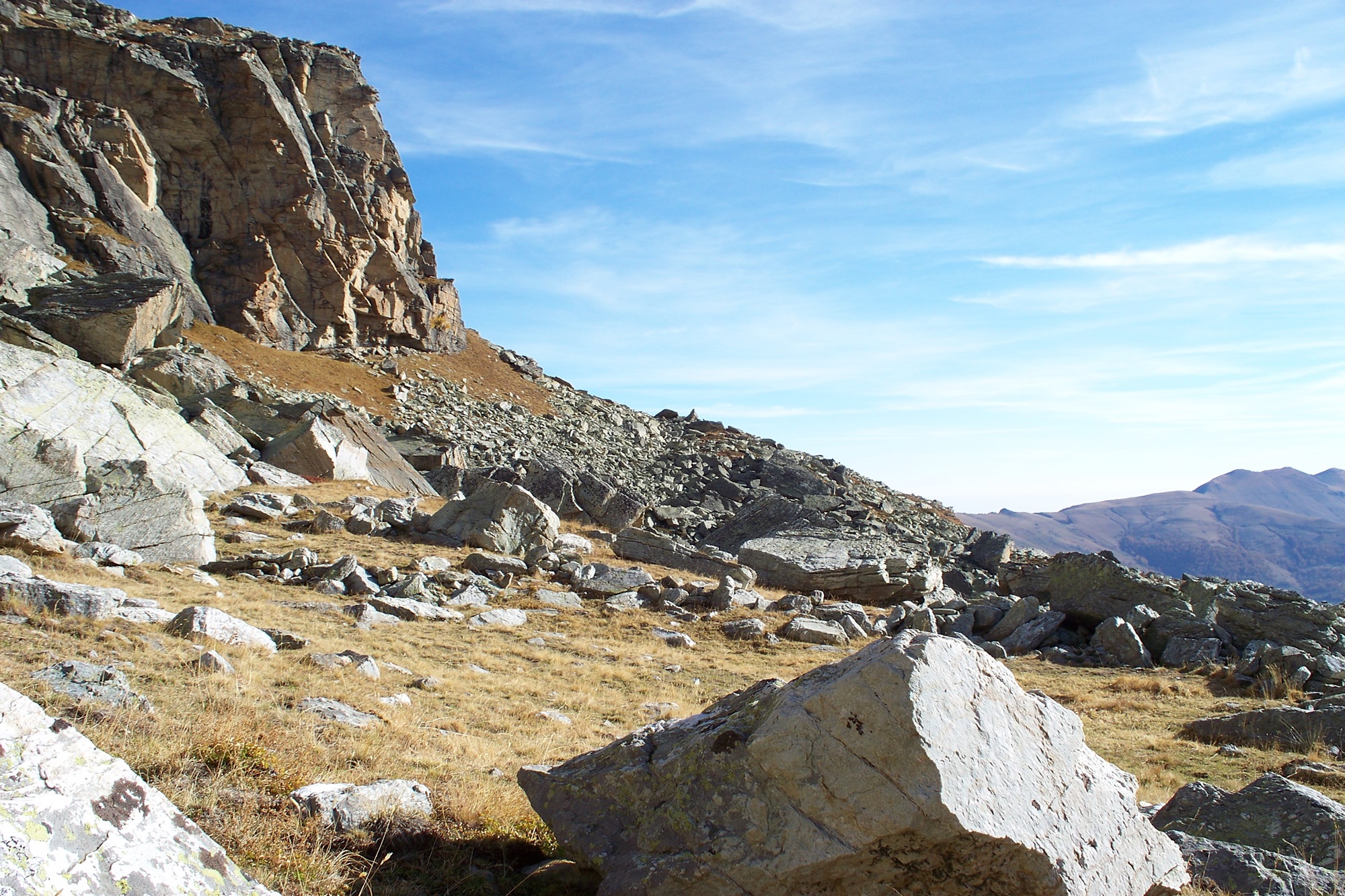
Monte Chirlè
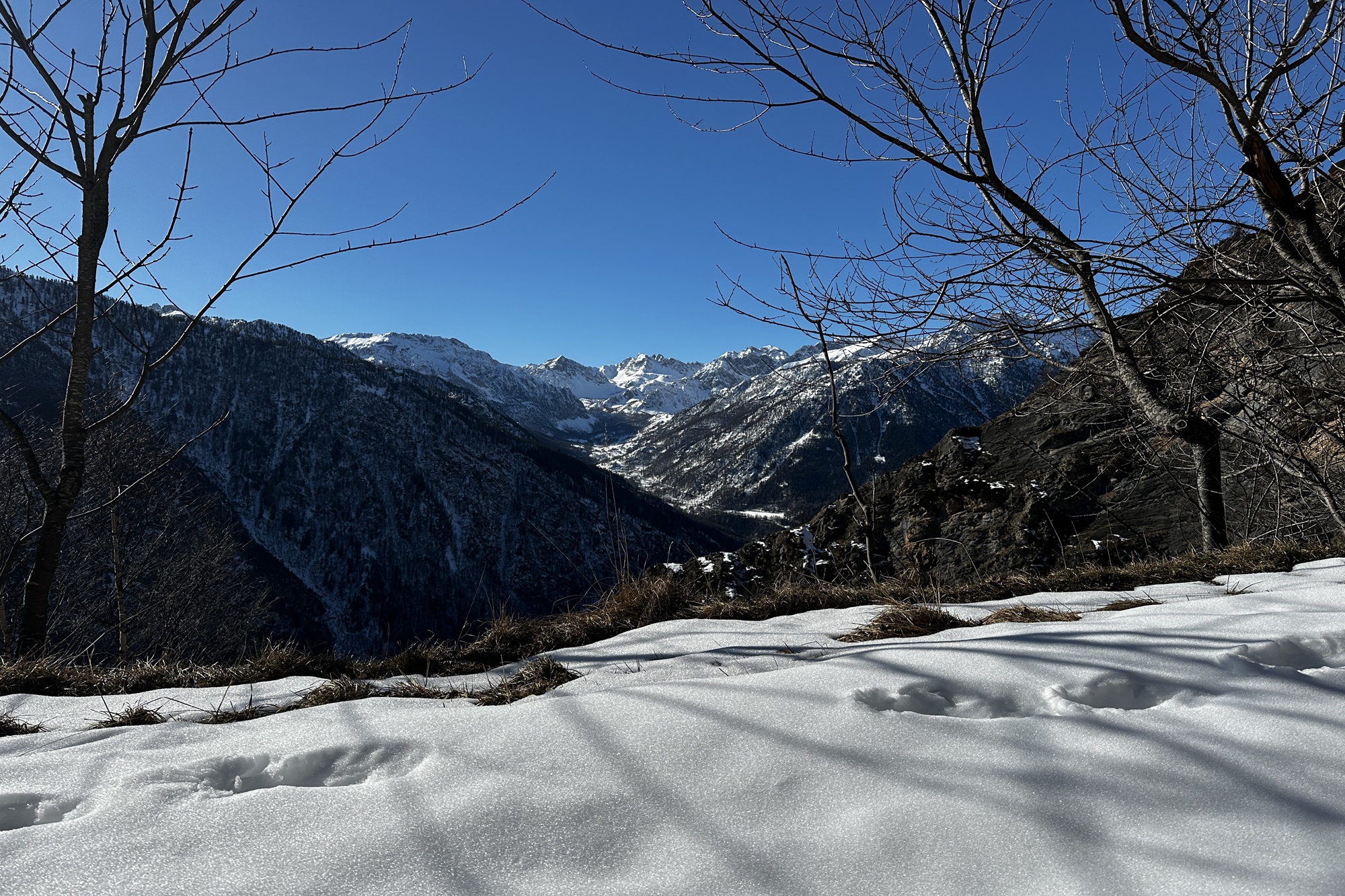
Level 4/4 – Challenging – OR
- Starting point: Vallone di Ussolo hamlet (1440 m) – in the municipality of Prazzo
- Highest point: Monte Chirlé (2306 m)
- Exposure: South/West
- Type of itinerary: loop trail
Route Description
The hike begins by parking your car in the Vallone di Ussolo hamlet, near a small chapel.
From here, follow the dirt road that gently climbs in wide zigzags, ignoring the summer trails that intersect the route.
At the junction with a votive pillar (approx. 1660 m), turn left and follow the trail marked “Baite Chiottoligiera.”
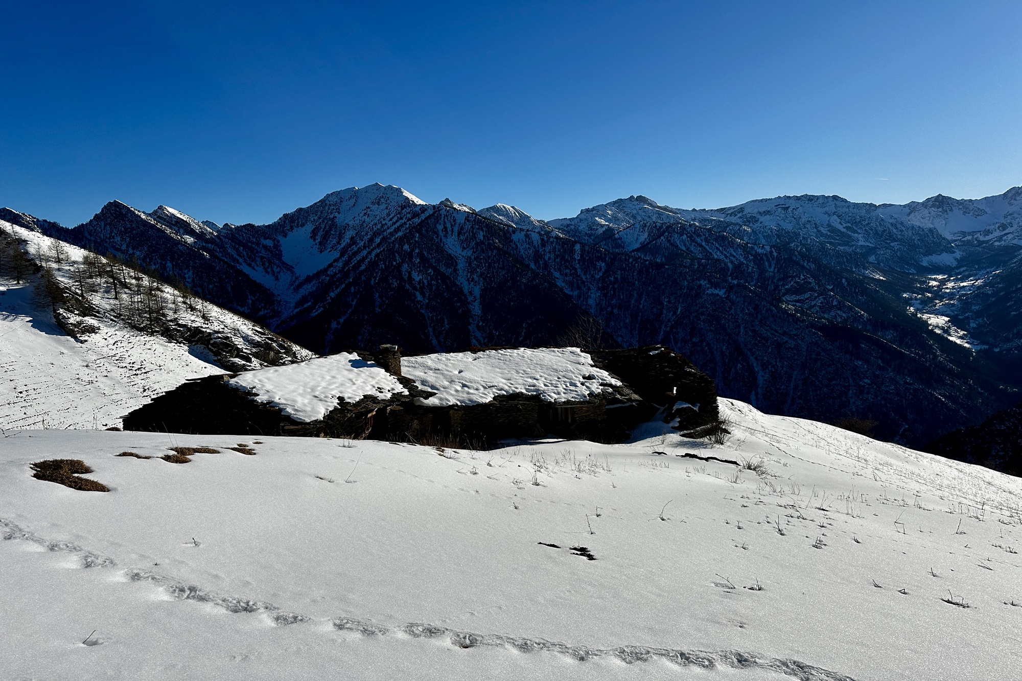
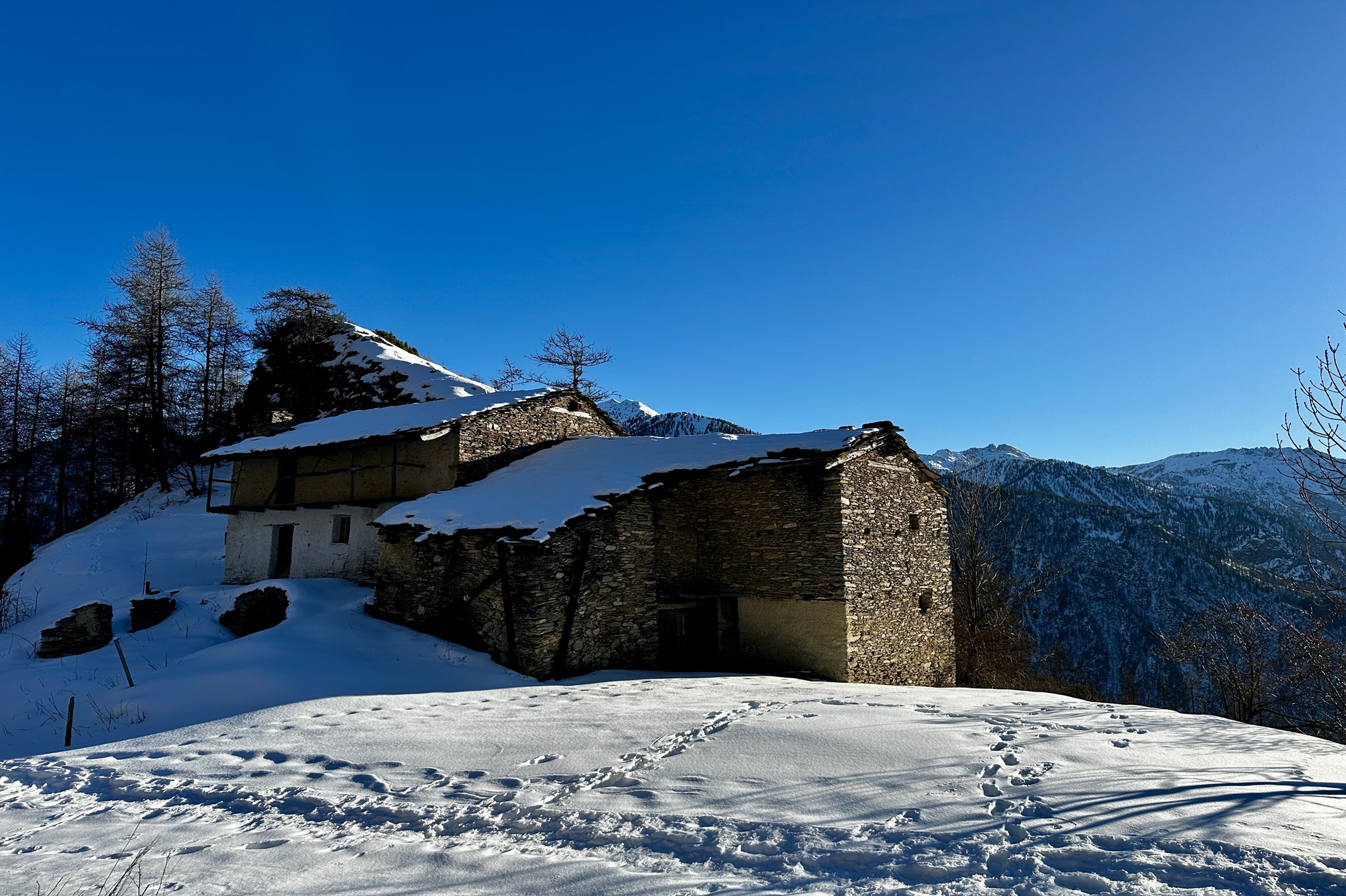
After about 50 meters, near the Baite Passo (approx. 1707 m), the trail rejoins the dirt road. Stay on this road until you reach the Chiottoligiera huts (1771 m).
From here, continue briefly past the houses and then immediately turn right into the wide meadows behind the huts.
Continue through the meadows toward a ruined old hut called “Grangia Chiapolonuto” (1844 m), located just beyond Chiottoligiera, though not visible from the main trail.
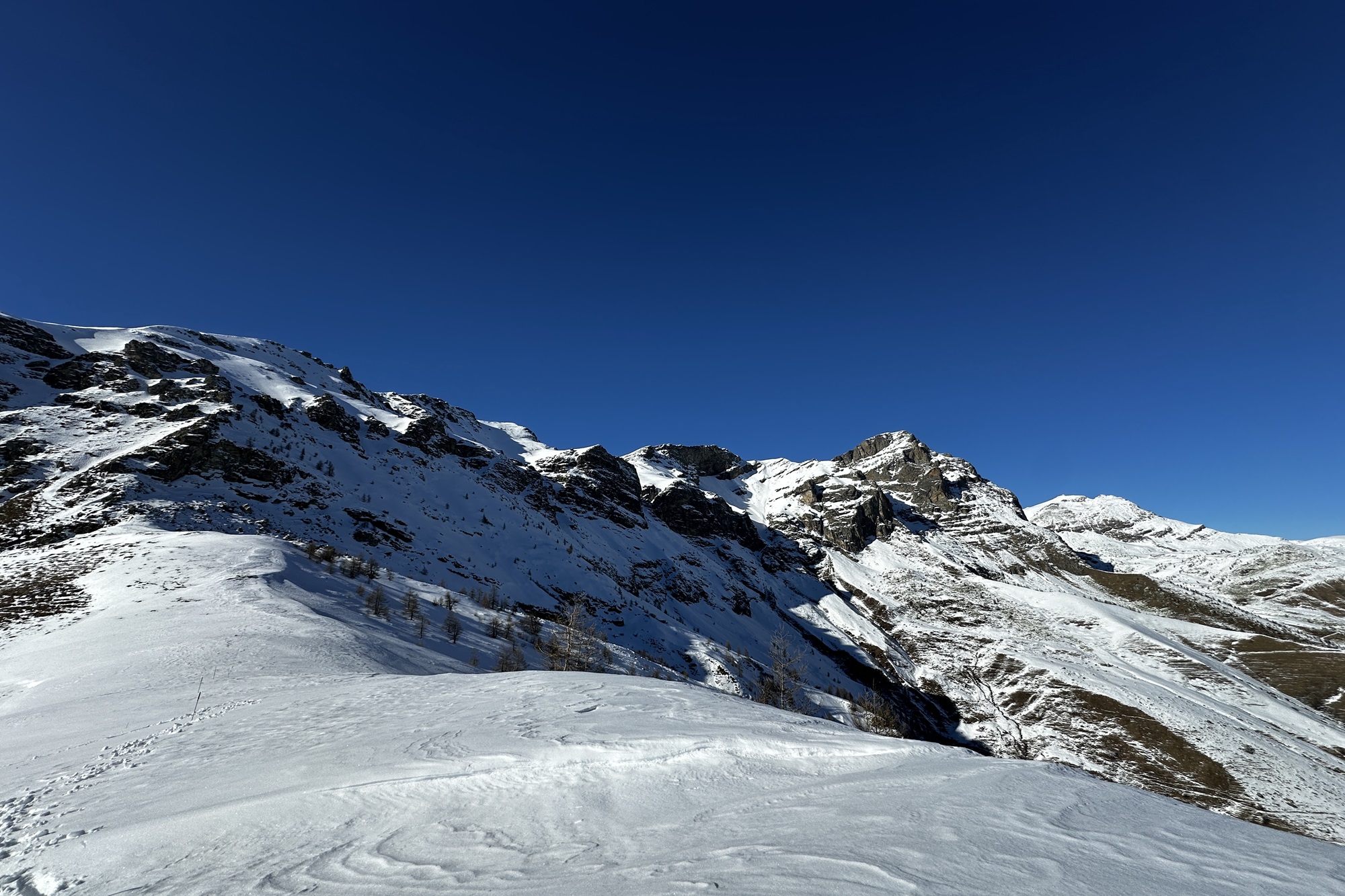
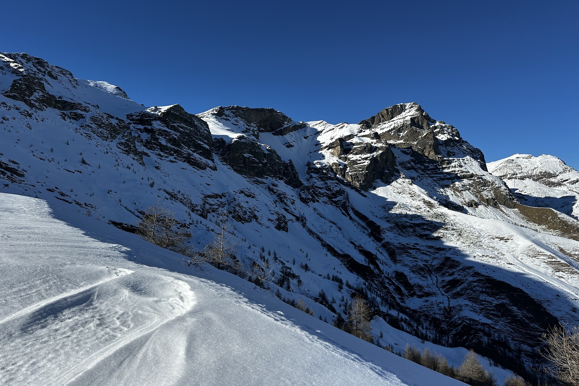
From this point, continue climbing through the meadows, keeping slightly to the right. Avoid entering the valley and instead stay on the ridge that climbs steadily toward the open, rock- and tree-free slope of Monte Chirlé.
Along the way, you’ll encounter two animal watering troughs. The first one (1984 m) is fed directly by the spring below.
This long ascent runs parallel to the “Franco Gallizio” trail, whose red-and-white trail markers may be visible at intervals.
Around 2000 m, you may follow a short section of this trail to avoid descending into the small valley on your right. However, soon after, leave the “Franco Gallizio” trail completely, as it leads toward the “Porte di Roma” and a steep rock wall.
Continue the relentless climb toward what will appear as a saddle on your left and a small rounded summit (“panettone”) slightly to the right.
Once at the saddle, you’ll find no summit marker or cross to indicate the true summit of Monte Chirlé.
Descent
From the summit, descend along the ridge that divides the Ussolo and San Michele valleys, heading toward the trail signpost for “Sentiero dei Pastori.”
From there, turn south and begin descending along the open ridge ahead.
Initially, there are no clear landmarks; it’s best to stay on the ridge and not veer into the valleys on either side.
Continue descending until you reach the remains of a small guard post and a former VAL military barracks (1970 m), followed shortly by the ruins of the Pissiva huts (1940 m).
From the Pissiva huts, turn directly right and enter the small side valley, which is crossed by a tiny stream.
Do not follow the steep ridge descending directly from the Pissiva huts, as it is too steep.
After crossing the stream, follow the ridge, bearing slightly left toward the Baite Passo.
In low-snow conditions, you may find an old, unmarked trail that zigzags down to Baite Passo.
From there, rejoin the ascent path, eventually reaching the Draio huts.
Here you can cut across the meadows to return to the starting point.
⚠️ WARNING
Winter hiking, like all outdoor activities, carries inherent risks.
You must be properly equipped and know how to use an avalanche transceiver (ARTVA/AVD device).
For information on snowpack conditions and avalanche risk, consult the AINEVA bulletin: [https://bollettini.aineva.it/bulletin/latest](https://bollettini.aineva.it/bulletin/latest)
For weather forecasts: [www.arpa.piemonte.it/bollettino/previsioni-meteorologiche](http://www.arpa.piemonte.it/bollettino/previsioni-meteorologiche)
Information
- Duration: 5.30h
- Ascent: 870 m
- Descent: 870 m
- Region: Prazzo
- Season: Winter
- Difficulty: Hard
Mountain sports are potentially dangerous activities and must be undertaken with the right equipment and preparation. We invite you to consult the weather and avalanche bulletin before embarking on an excursion and/or contact a guide for assistance. The Valle Maira Tourist Consortium declines any responsibility in relation to the advice and itineraries shown here, which must be evaluated personally according to the weather conditions and snow cover.
