Cannoni Cycling Trail from Dronero to Colle Bicocca

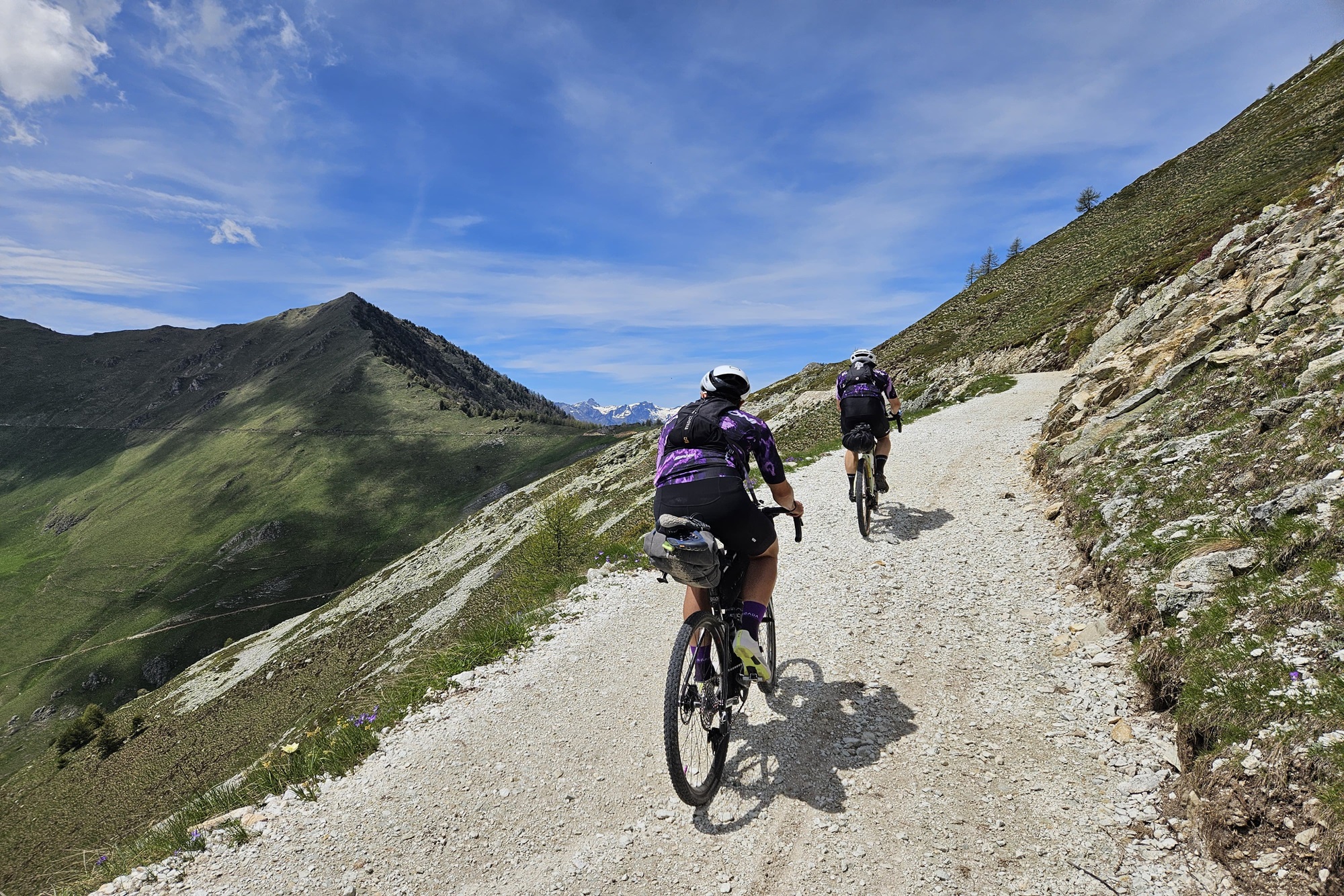
The “Strada dei Cannoni” (Cannons Road), originally built for military purposes, is today a fascinating route, ideal for those who love to cycle safely while enjoying spectacular landscapes.
This historic path was renewed in the 1930s, following the course of an ancient road built in 1744 by engineers of the Piedmontese army to counter the offensive of the Franco-Spanish troops.
Today, it is appreciated for the beauty of its route, which follows the watershed between the Maira Valley and the Varaita Valley, offering magnificent views of the mountain ranges enclosing the two valleys and the nearby Monviso massif.
The dirt road starts at Colletta di Rossana (in the municipality of Busca) and ends at Colle della Bicocca (in the municipality of Elva), stretching over approximately 40 kilometers.
It is particularly suited to cycling, but can also be comfortably hiked on foot.
The itinerary we propose starts and ends in Dronero, offering a long tour that leads you to the historic military road via Villar San Costanzo and Morra del Villar, eventually reaching the high-altitude route along the watershed between Maira and Varaita Valleys near Colle Liretta, a popular paragliding takeoff area.
Here begins the adventure on the high mountain road, which is initially entirely unpaved, except for a section near Colle di Valmala, above the Sanctuary of Valmala.
After reaching Colle della Ciabra, just past the Roccerè Archaeological Site, the road becomes unpaved again and continues along the ridge between the two valleys up to Colle di Sampeyre (2,284 m) and Colle della Bicocca (2,285 m).
The descent to the village of Elva follows a dirt road passing through the hamlets of Grangette and Martini.
In Elva, we recommend stopping to visit the Hair Museum and the Parish Church of Santa Maria Assunta, featuring magnificent frescoes by Hans Clemer, the “Master of Elva.”
The route then continues mainly on dirt roads towards Grange Goria and Colle San Giovanni, where you can admire the view over the Elva Valley from Fremo Cuncunà, an impressive rock overhanging the void.
The paved road connecting Elva and Stroppo begins again at Colle della Cavallina, where a quick descent takes you through the hamlets of San Martino, Cucchiales, and Morinesio, then to the Church of San Peyre, and onwards to Borgata Paschero and Bassura.
Once at the main valley road, turn left to descend the valley, passing through Macra, San Damiano Macra, and Cartignano.
Here, after crossing the bridge on the right, take the secondary road parallel to the main one, which connects Cartignano to Tetti di Dronero.
From the hamlet of Tetti di Dronero, you can follow the Maira cycle path that leads to the hamlet of Archero. From there, take the paved road to reach Dronero’s historic Devil’s Bridge, and return to the starting point at the Tourist Office in Piazza XX Settembre.
Along the route, there are several accommodation options allowing the itinerary to be split into two or more days. For further details, please visit the hospitality page.
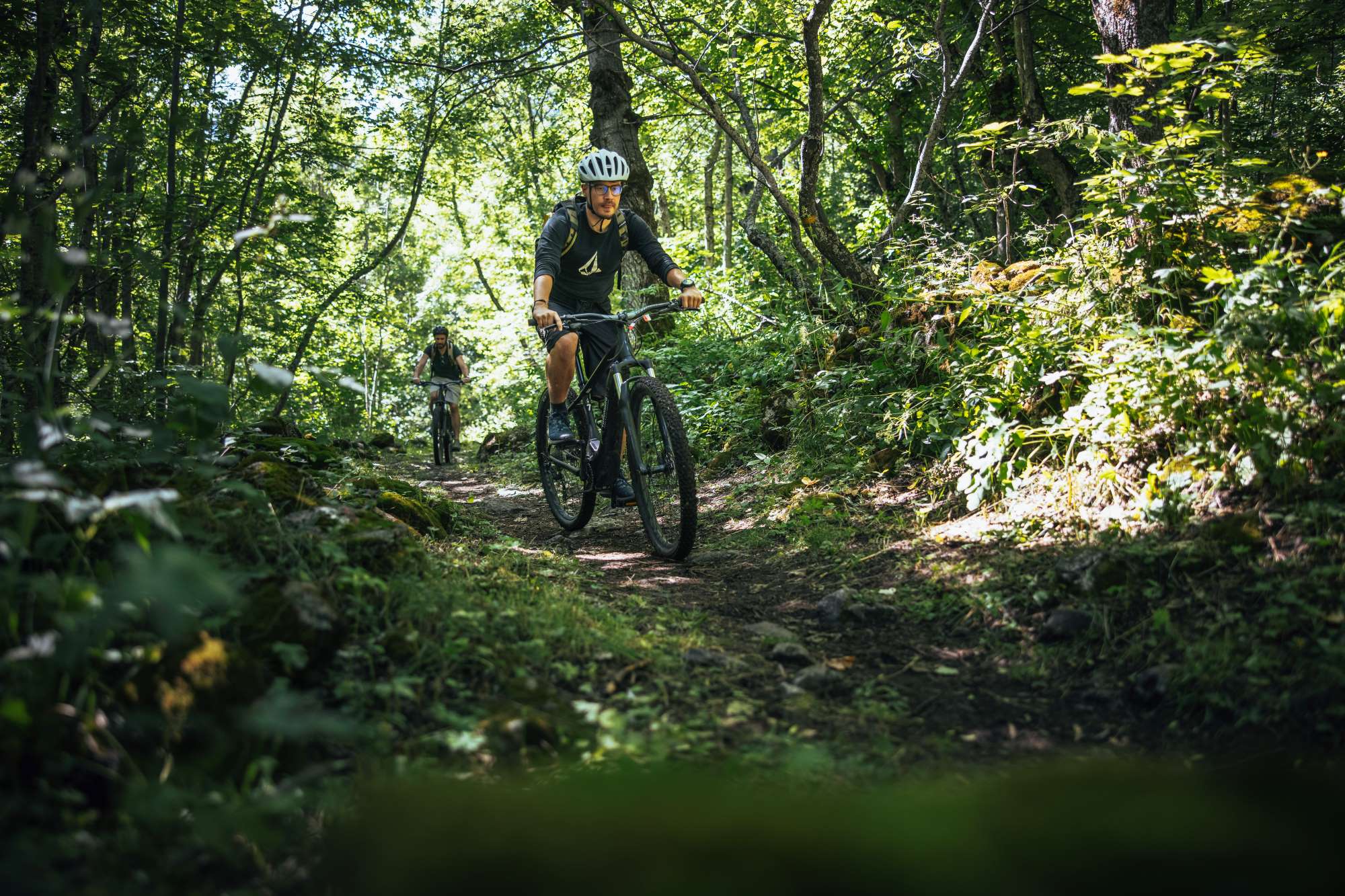
At the departure point in Dronero, it is possible to rent e-MTBs year-round to tackle the route. Rental details are available on the dedicated page of our website.
For those who wish to dedicate a whole week to cycling in the Maira Valley with a fully organized tour by our Tour Operator, we offer a 7-day itinerary covering the entire valley and cycling through the High Lands.
IMPORTANT:
Access Regulations:
• Monday, Wednesday, Friday, Saturday, and Sunday: access is reserved exclusively for pedestrians and cyclists.
• Tuesday and Thursday: open also to motor vehicles (cars, motorcycles, and quads).
The municipal traffic regulation ordinance has been in effect since July 14, 2025.
There are no monitored checkpoints or entrance fees for vehicles. Along the route, you will find information signs with a QR code linking to the access regulations, which are also available on the official website of the Municipality of Busca.
The ascent to Colle di Sampeyre is part of the “Legendary Climbs” (“Scalate Leggendarie”) – six climbs made famous by the feats of professional cyclists, featuring a calendar of cyclist-only days to ensure a truly unique experience in the unspoiled nature of the Cuneo Alps.
For more information, visit: www.scalateleggendarie.it.
Information
- Ascent: 3,570 m
- Descent: 3,570 m
- Distance: 102.0 km
- Region: Dronero
- Seasons: Autumn, Summer
- Difficulty: Hard
Mountain sports are potentially dangerous activities and must be undertaken with the right equipment and preparation. We invite you to consult the weather and avalanche bulletin before embarking on an excursion and/or contact a guide for assistance. The Valle Maira Tourist Consortium declines any responsibility in relation to the advice and itineraries shown here, which must be evaluated personally according to the weather conditions and snow cover.


