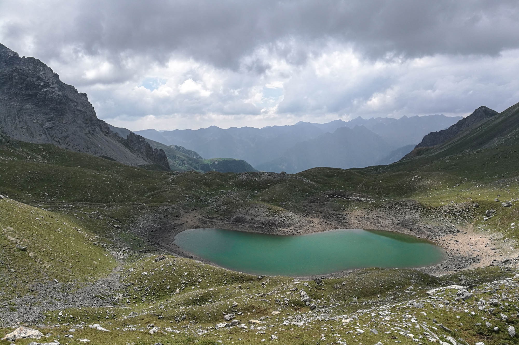
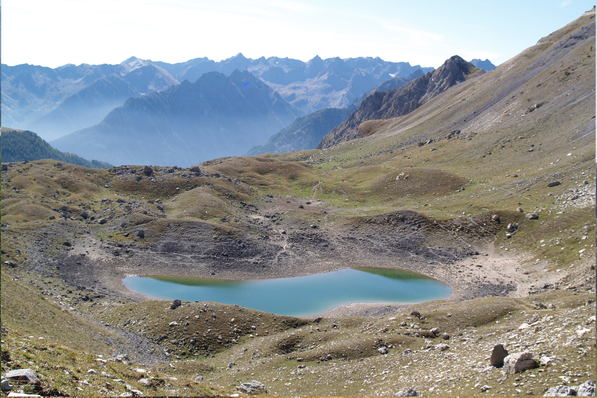
Loop of lake oserot

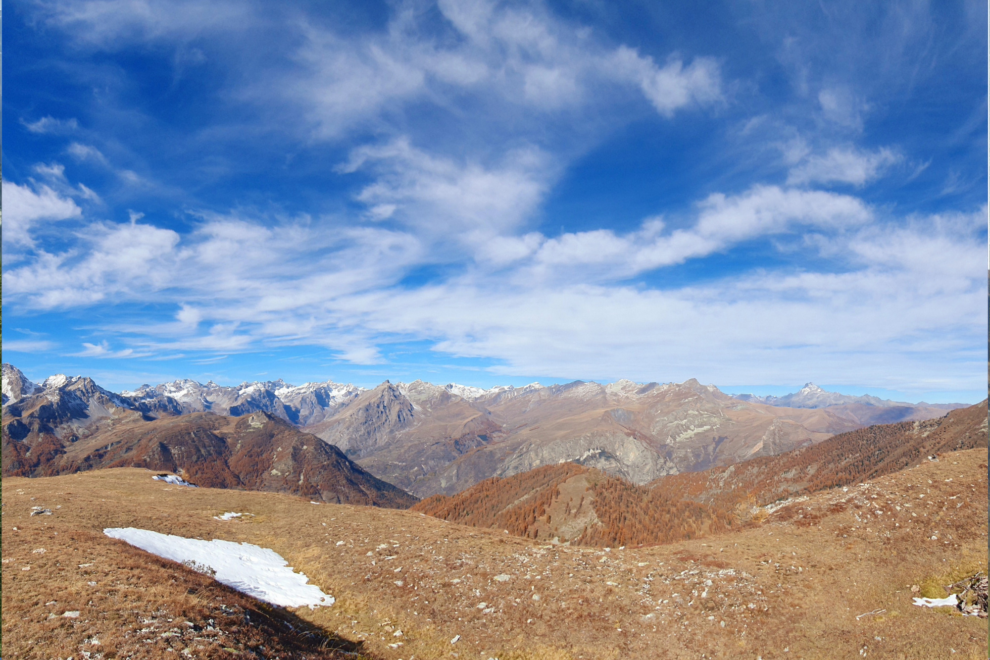
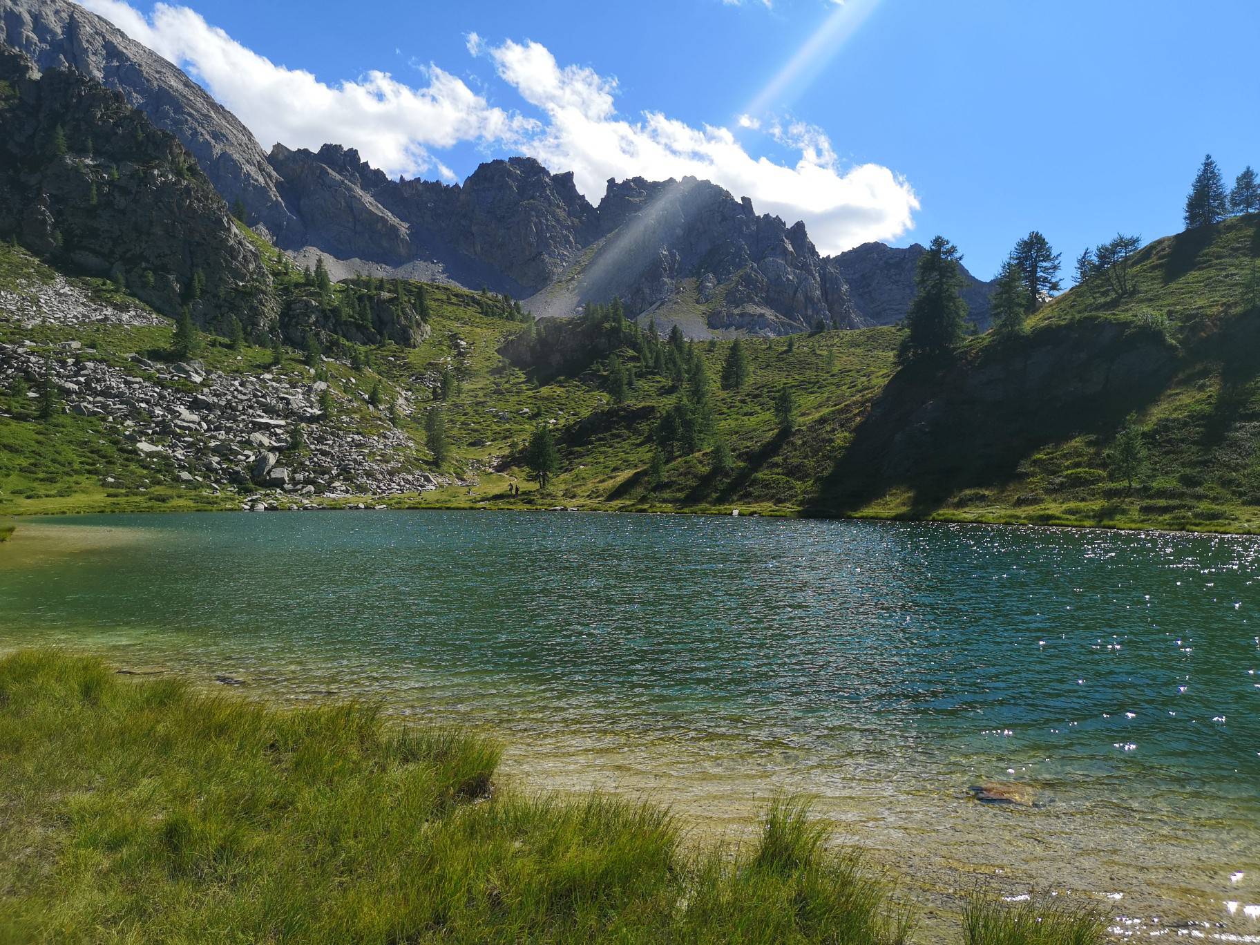
From the Gardetta hut at an altitude of 2335 m, which can be reached in about 50 minutes’ walk from the Colle del Preit car park, take the hairpin bends following the path that leads to the Gardetta Pass (2437 m). The trail then climbs further to the Passo di Roccia Brancia at an altitude of 2620 metres along a mule track. From the path, you pass near some bunkers and above the small Fondabrancia depression. The mule track then becomes narrower as you approach Roccia Brancia and the pass of the same name. From here, begin to descend alongside the detrital basin known as the Fonda Oserot; keep left at the fork and follow it to Lake Oserot (2,303 m). From the small lake you reach the Bernoir Pass (2537 m) where you need to help yourself to the descent with the fixed chains, then the road becomes easier and goes down to the Gardetta refuge along the pastures and abandoned barracks.
Information
- Ascent: 590 m
- Descent: 590 m
- Distance: 10.0 km
- Region: Canosio
Mountain sports are potentially dangerous activities and must be undertaken with the right equipment and preparation. We invite you to consult the weather and avalanche bulletin before embarking on an excursion and/or contact a guide for assistance. The Valle Maira Tourist Consortium declines any responsibility in relation to the advice and itineraries shown here, which must be evaluated personally according to the weather conditions and snow cover.


