Roccabruna Balcony Trail

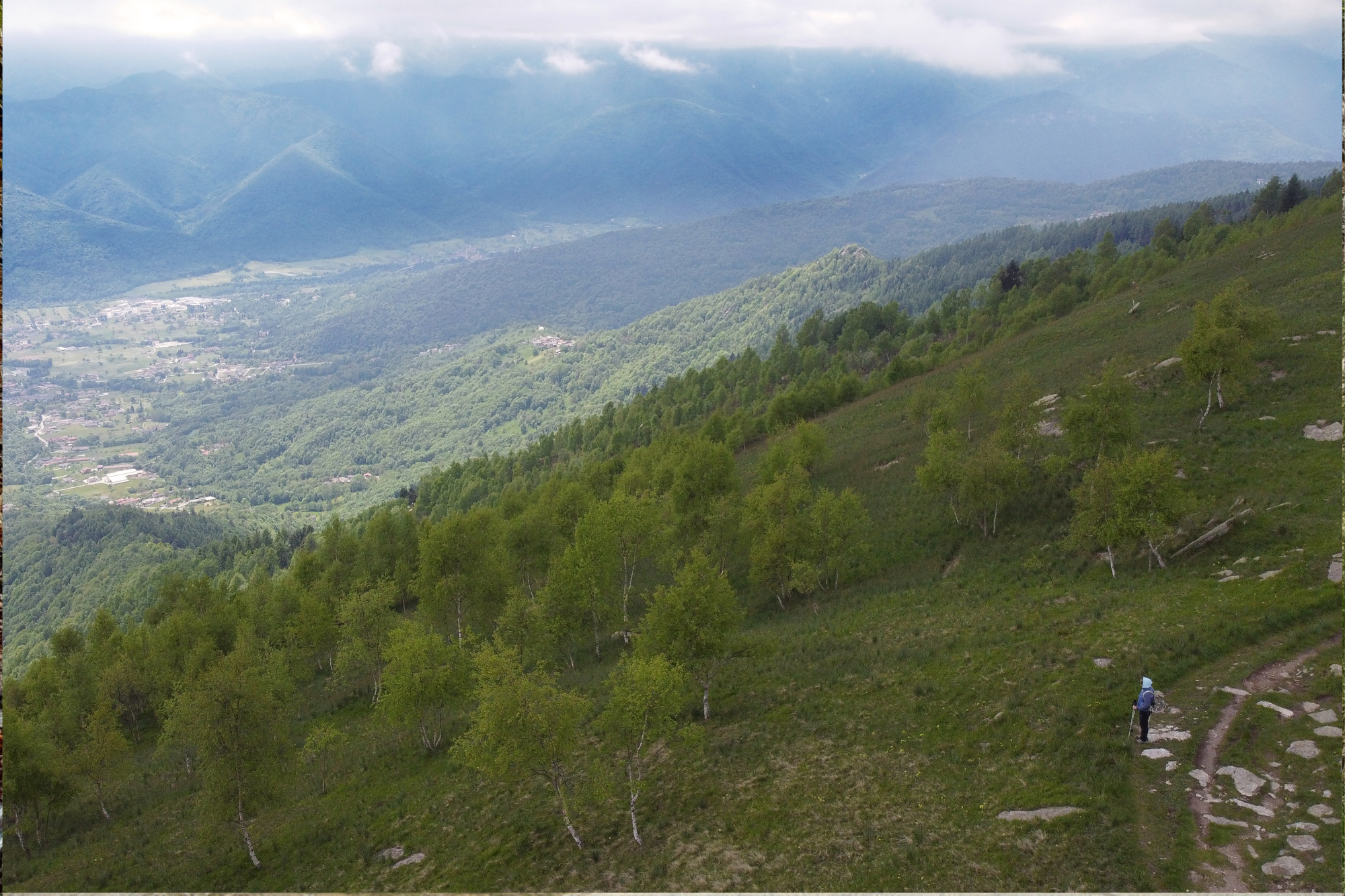
The “Sentiero Balcone” (Balcony Trail) is a loop trail located in the upper area of the municipality of Roccabruna (CN). It runs for a long stretch along the watershed between the Maira and Varaita valleys, offering wide panoramic views of the peaks of the Maritime Alps.
The trail starts in the hamlet of Sant’Anna di Roccabruna, following the marked trail signs that guide the entire route. Near the football field, you take the steep forest road on the left, which, shaded by majestic spruce trees, connects to a second trail near the Boscuola area.
At an altitude of 1,480 meters, the wide grassy section ends, and an undulating path begins, skirting the southern slopes of Mounts Roccerè and Margherita. The trail features scenic viewpoints and some striking passages among rocks, overhangs, and cliffs under the shade of conifer forests.
Continuing uphill past a fountain, you reach the wide grassy saddle of Colle di Valmala, which connects to the neighboring Varaita Valley and the Marian sanctuary of the same name below. A side trail to the right leads to the cross of Mount San Bernardo, the last high point before the plains and an exceptional panoramic viewpoint.
The main trail instead continues to the left, climbing through the grassy slopes of Monte Santa Margherita’s ridge (an old ski-lift route), following the entire east-west crest line. It alternates between smooth sections and rocky passages, reaching the Colle di Balma Scura. Here, an informational board describes the archaeological area of Mount Roccerè.
The trail runs alongside the imposing Balma Scura, a cave in the rock about 20 meters deep—a natural shelter that was still recently used to house livestock and contains a valuable water spring. A final uphill section leads to the eastern shoulder (a viewpoint) and the summit of Mount Roccerè, which, at 1,829 meters, is the highest point of the tour. From the top, you can admire the entire trail and the ridge stretching from the San Bernardo cross up to this point, dividing the Maira and Varaita valleys.
The descent follows the opposite slope and leads to Colle della Ciabra, where, near a second informational board, the trail branches left onto a path that, shaded by dense conifer forests, reaches Fònt La Gorgio (a water point) and quickly descends toward the hamlet of Sant’Anna di Roccabruna, intersecting the original trail.
WARNING: UPDATE AS OF 01/09/2025: Some sections are still affected by significant windthrow, making the route difficult to access.
Information
- Ascent: 800 m
- Distance: 11.0 km
- Region: Roccabruna
- Seasons: Autumn, Spring, Summer
- Difficulty: Medium Difficulty
Mountain sports are potentially dangerous activities and must be undertaken with the right equipment and preparation. We invite you to consult the weather and avalanche bulletin before embarking on an excursion and/or contact a guide for assistance. The Valle Maira Tourist Consortium declines any responsibility in relation to the advice and itineraries shown here, which must be evaluated personally according to the weather conditions and snow cover.


