Santa Margherita – Loop Trail along the Paths of the Partisans of the 2nd Alpine Division “Giustizia e Libertà”
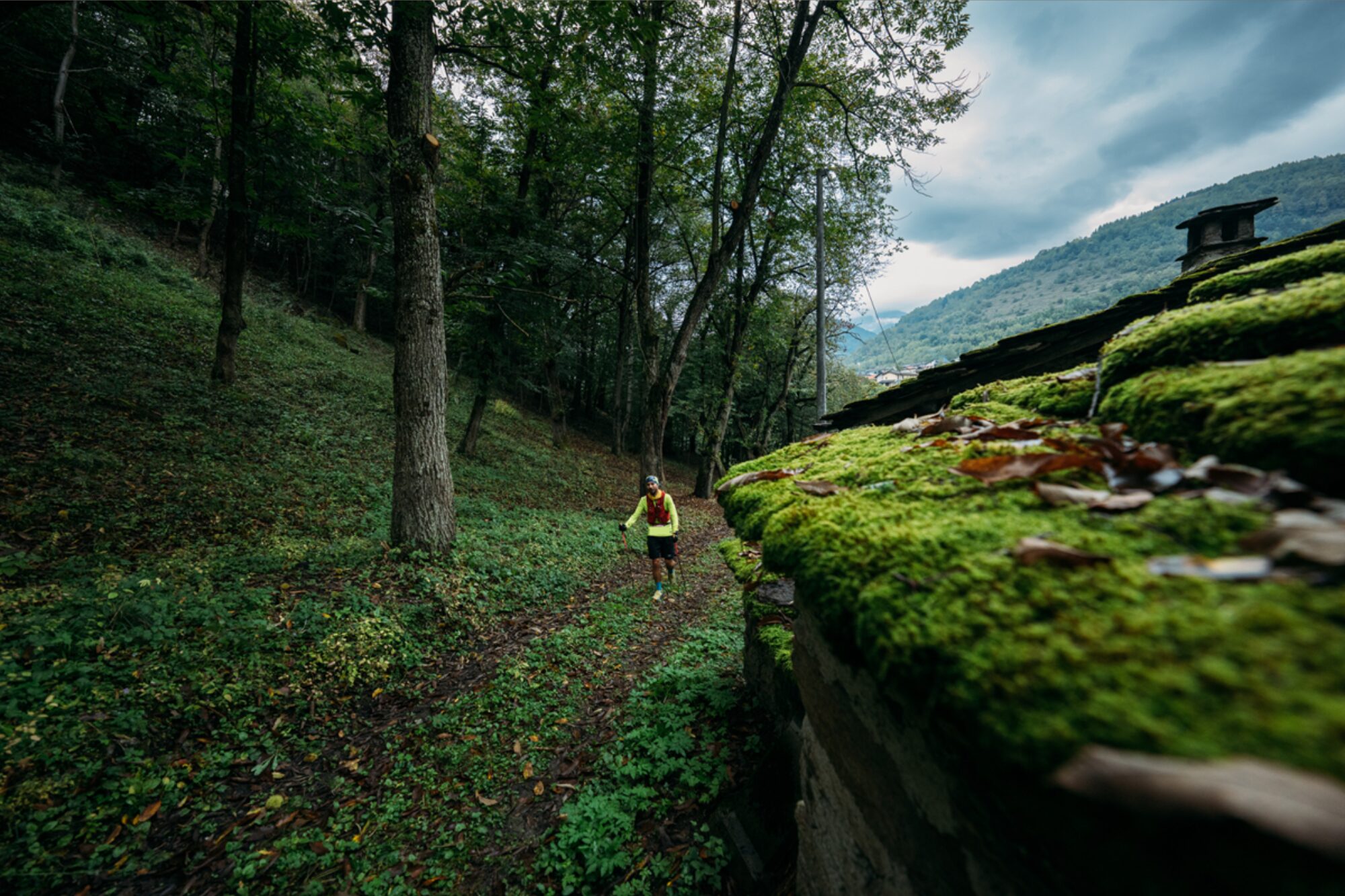
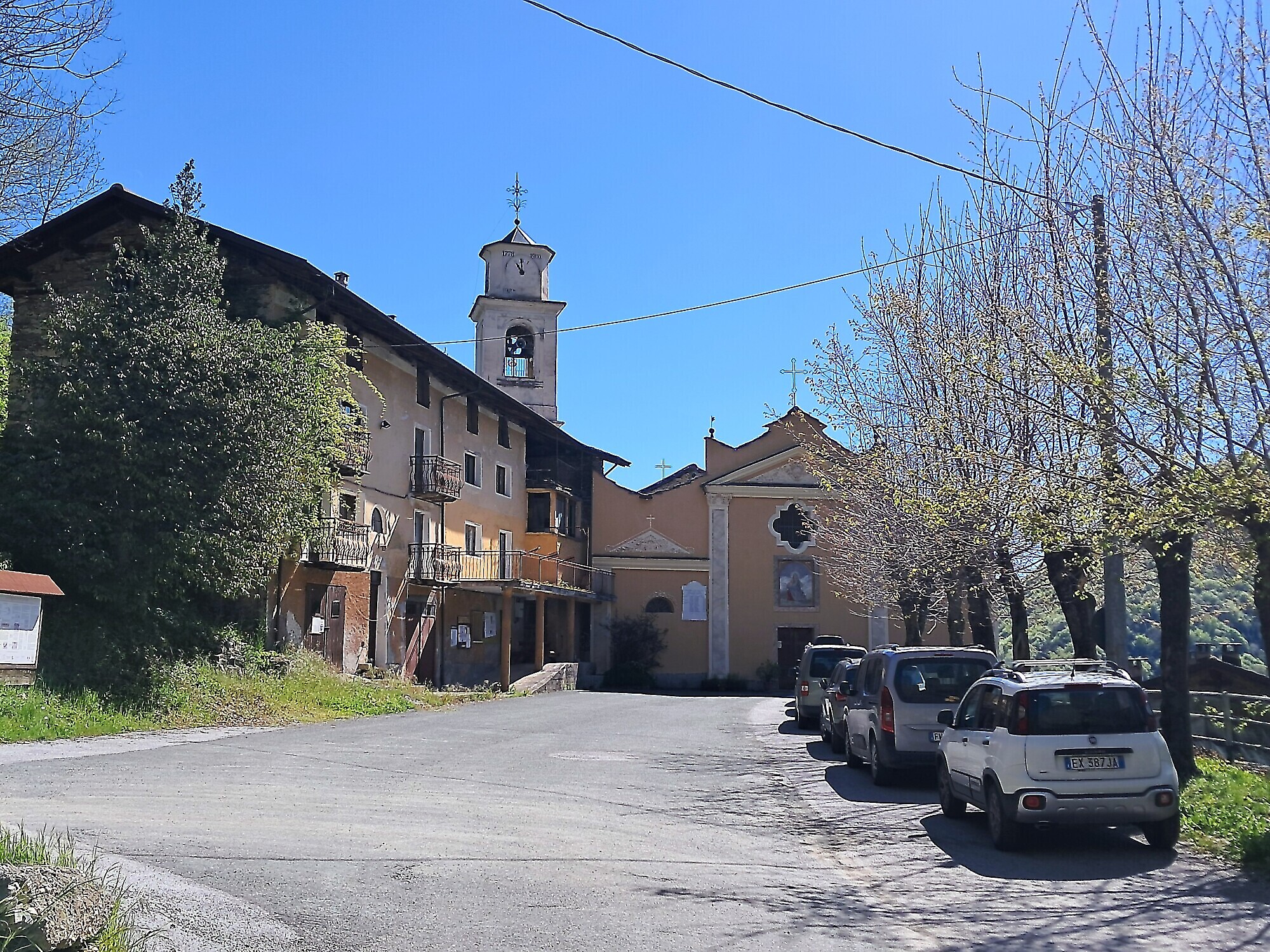
A beautiful circular trail winding through the splendid woods of the central Val Maira allows you to move between the Moschieres and Paglieres valleys (and back), touching numerous hamlets around Santa Margherita, a stronghold of the GL partisan formations in the Cuneo mountains. Its geographical location made it the ideal headquarters for the resistance: perched on a cliff edge overlooking the Paglieres valley, from where access routes could easily be controlled by those stationed at the Colletto. The hamlet was the hub of all GL partisan activity on the right side of the Maira Valley and in the neighboring Grana Valley. During the 20 months of occupation, almost all partisan bands of various political affiliations from the Cuneo area found temporary refuge and shelter here after escaping enemy raids in their own territories.
From the church square, take the dirt road that climbs toward the cemetery and continue for a few hundred meters along the switchbacks toward the refuge, passing the barrier that restricts vehicle access. The refuge is dedicated to the partisan commander Detto Dalmastro and was inaugurated in 1970. Recently, the ANPI, which owned it, donated it to the Municipality of Dronero, which restored it. The building is now part of the “Memory of the Alps” project and belongs to the “Freedom Trails” network in the province of Cuneo.
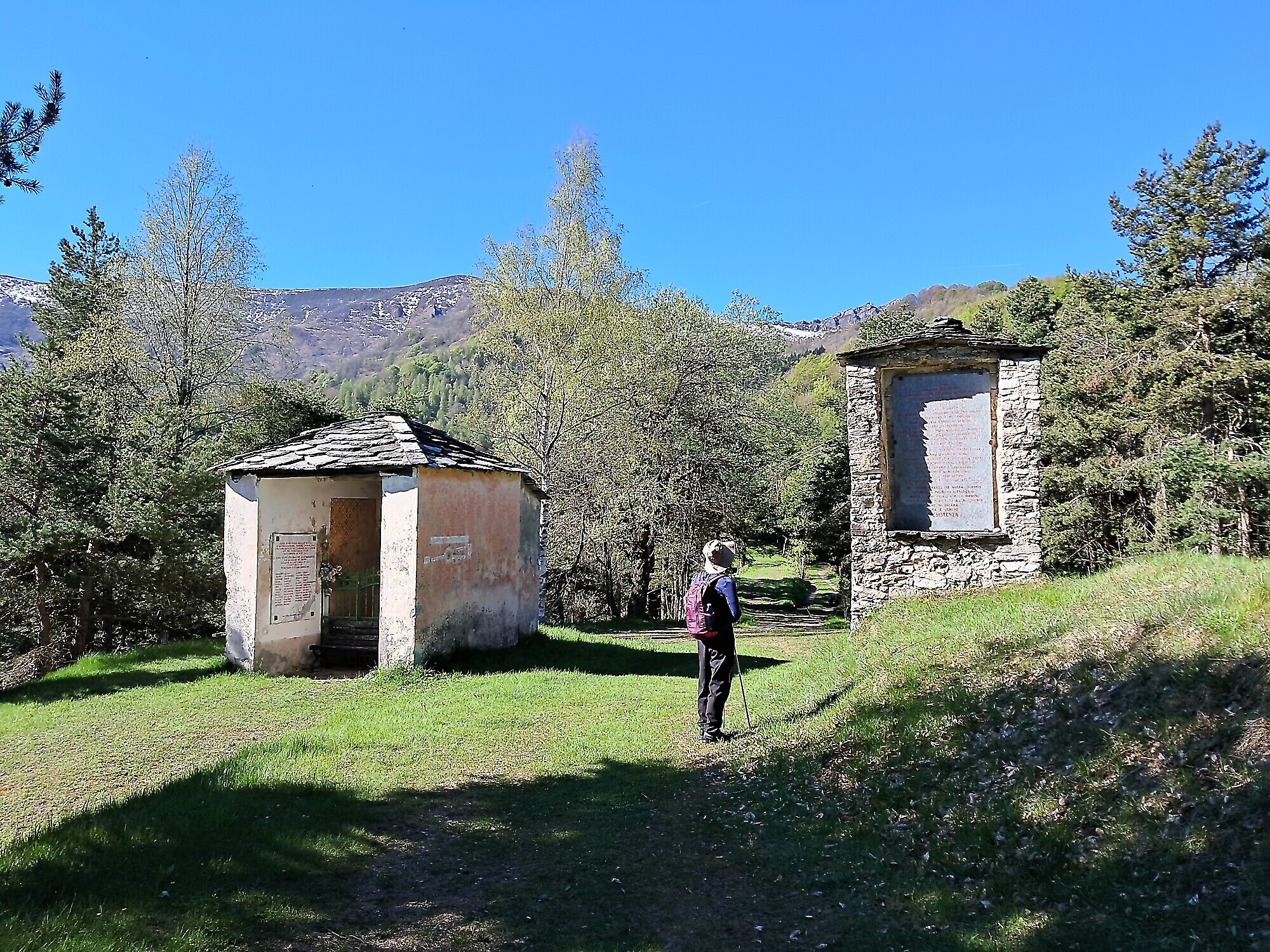
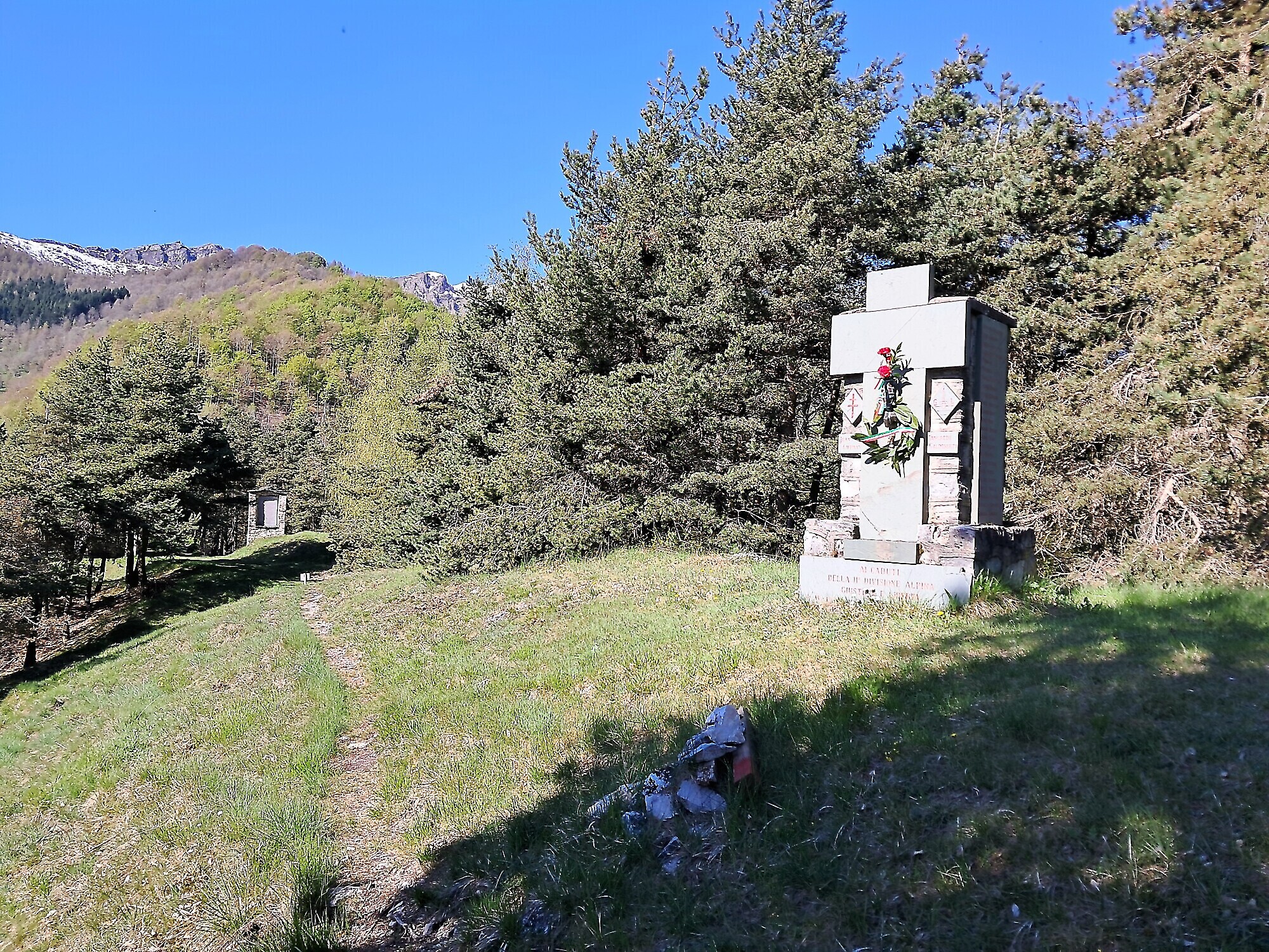
Returning to the square, at the first switchback, take the small path (signposted) on the right and cross the meadows, first passing a memorial stone dedicated to Jean Lippmann (a French maquisard who supported the GL partisans), then a chapel dedicated to the martyrs of the 2nd GL Division, and a plaque with a message from Piero Calamandrei, until you reach the Colle della Margherita.
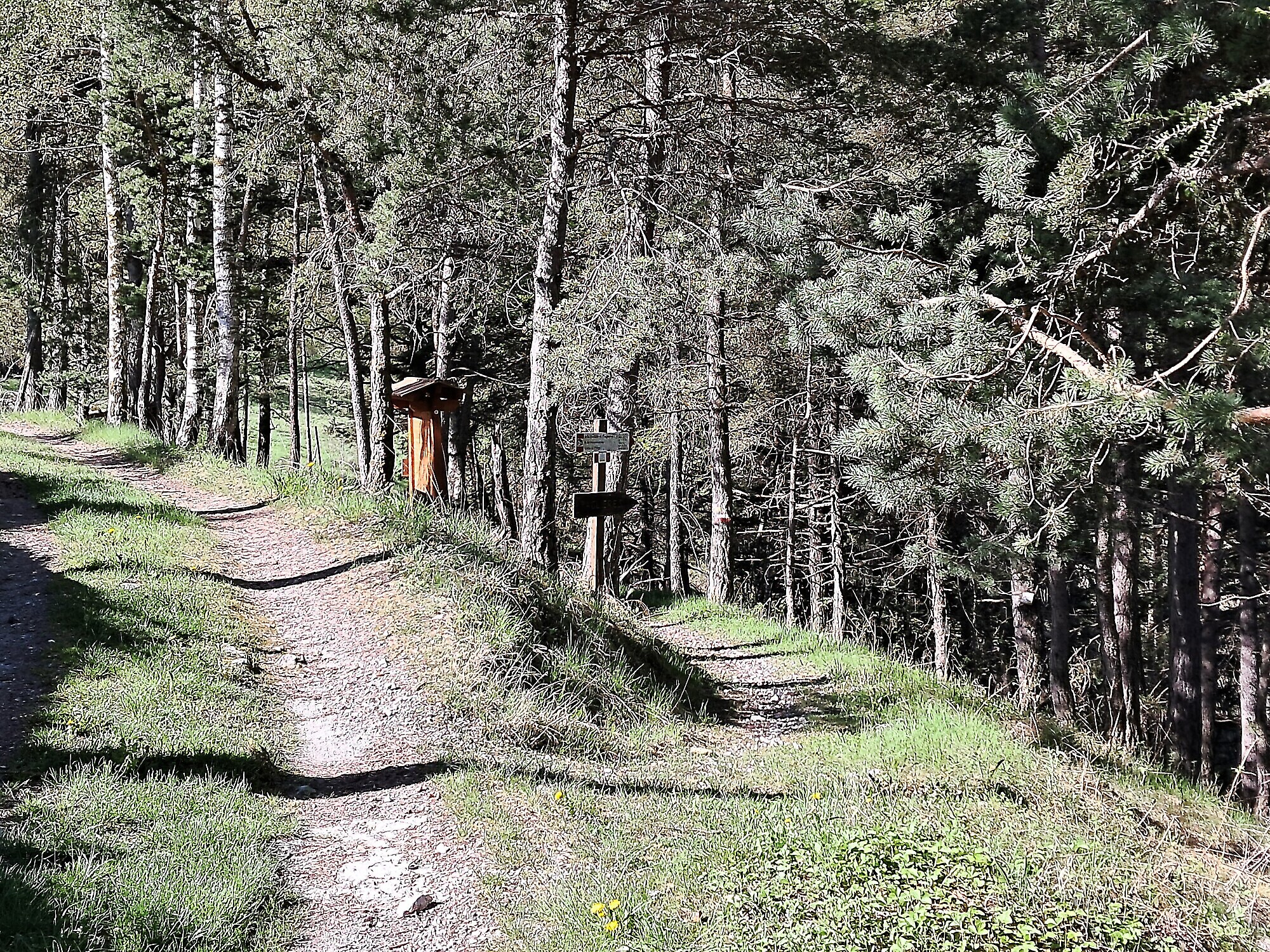
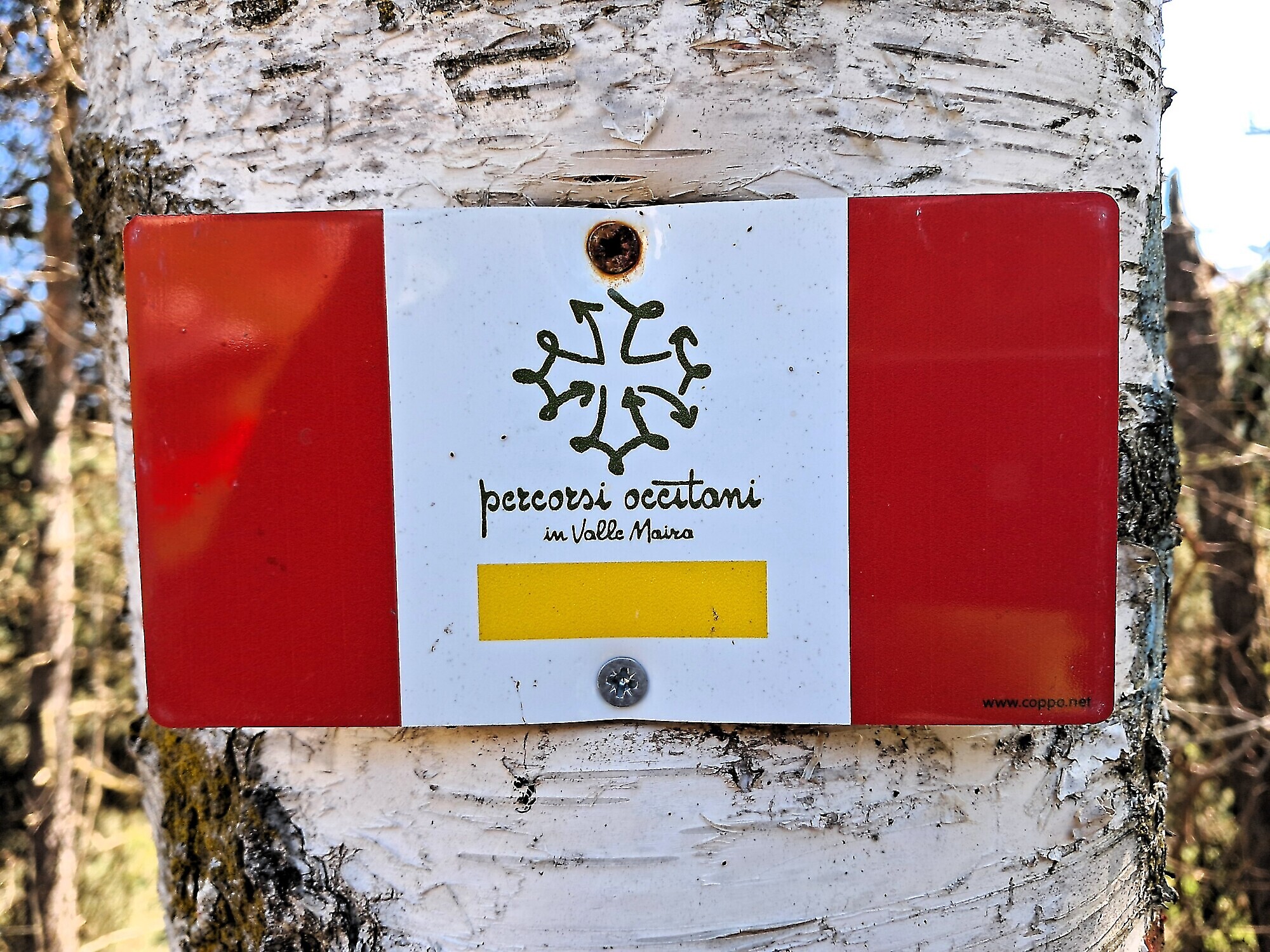
From here, turn left and take the descending trail to the right (S02, part of the Occitan Trails) heading toward Paglieres. It descends through a beautiful beech forest and is named after Nini Acchiardi, commander of the Garibaldi partisan troops who operated on the left hydrographic side of the Maira Valley. The trail crosses the Moschieres basin before reaching the Rio Albert, crossed by a stone bridge. Nearby lies a millstone. After crossing a deep gully in the dense forest, the path reaches the hamlet of Bedale (1224 m), one of many that make up the dispersed village of Paglieres (an independent municipality until 1929), located in the “Cumbamala” valley.
After passing the houses, the path merges near a switchback; from there, take the uphill stretch leading to the main square of the hamlet Filoira. Here, a plaque commemorates Jean Lippmann, known as “Lorrain”, who collaborated with the partisans from spring to summer 1944, before returning to France, where he was captured and executed by the Germans. On the square stands a large (now abandoned) building that once served as a partisan command post. Just before this building, a steep zigzagging path ascends to the twin hamlets of Serre and Goria, also part of Paglieres and bases for partisan units. Once there, you have two options: descend along the paved road passing the hamlets of Saretto and Girardi, or retrace the same path back to the church square.
Back at the square, follow the asphalt road downhill into the valley until you reach the small hamlet of Chiotto (the hamlets of Filoira and Chiotto can still be crossed, though with difficulty, via ancient stone-paved paths now overgrown). Continuing the descent, you’ll pass two hairpin bends and a long traverse before reaching the valley floor, where the road runs alongside the Rio Paglieres. A few hundred meters ahead, a dirt road branches off to the right and enters the Moschieres valley (marked S32). After about 30 minutes (1 km), you reach the large abandoned hamlet of Moschieres (Las Moscheras), with crumbling buildings. It once hosted a key partisan detachment defending the Santa Margherita valley.
The trail continues across the ruins on a slight incline, protected by a low wall. After about 15 minutes, leave the S32 trail (which continues to Colle di Poca) by turning right (look for the Memory of the Alps logo). The trail, marked with red and white blazes, climbs through the forest, at first steeply, then more gently, eventually joining a forest track leading (right) to Colle della Margherita. Along the way, it passes the few surviving homes of the Cuccetto hamlet (Al Cuchèt). In its center stands the “Casa del Comune” (Town Hall). In the medieval period, Moschieres had administrative independence from Paglieres, and this building may have been the seat of the “consuls” — the community’s representatives to Dronero.
From Cuccetto, follow the private forest road (gated to vehicles) until you reach the Colle della Margherita, and from there, return via the dirt road to the square in front of the church where you parked your car.
START / END: Church square in the hamlet of Santa Margherita (Dronero), in the Moschieres valley
BEST SEASON: May to November (road is open during this period)
TIME & ELEVATION: 4h 30’ to complete the loop (non-stop) – 650 m elevation gain – 13 km total distance
HOW TO GET THERE: From Dronero, continue towards Val Maira (tree-lined avenue), and shortly after Roccabruna, turn left following signs for Tetti. Drive through the entire village (including Tetti Borgetto) and cross a bridge with traffic lights. At the next junction, turn left toward Santa Margherita (Ghio hamlet), entering the chestnut woods via a narrow mountain road. At Ruà del Prato, continue straight, then at the first junction turn right following signs to Santa Margherita (Ghio). The road climbs steeply past Borgata Falcone (with stunning views) until reaching Santa Margherita, perched on a cliff. Just past the houses, turn sharply right and climb up to the church square (formerly the parish).
NOTE: The stretch of road between Falcone and Santa Margherita is usually closed from late November to the end of April by municipal ordinance. Contact the Dronero municipality before planning your hike.
DIFFICULTY: The route mostly follows forest tracks and trails, with some paved sections. The paths are clear and free from technical difficulties, suitable for anyone in good physical condition used to hiking for several hours.
Information
- Duration: 4h30
- Ascent: 650 m
- Distance: 13.0 km
- Region: Dronero
- Seasons: Autumn, Spring, Summer
- Difficulty: Medium Difficulty
Mountain sports are potentially dangerous activities and must be undertaken with the right equipment and preparation. We invite you to consult the weather and avalanche bulletin before embarking on an excursion and/or contact a guide for assistance. The Valle Maira Tourist Consortium declines any responsibility in relation to the advice and itineraries shown here, which must be evaluated personally according to the weather conditions and snow cover.
