Le vie de en böt on MTB: a ride through history

The route develops among some of the 93 villages that make up the Municipality of Roccabruna.
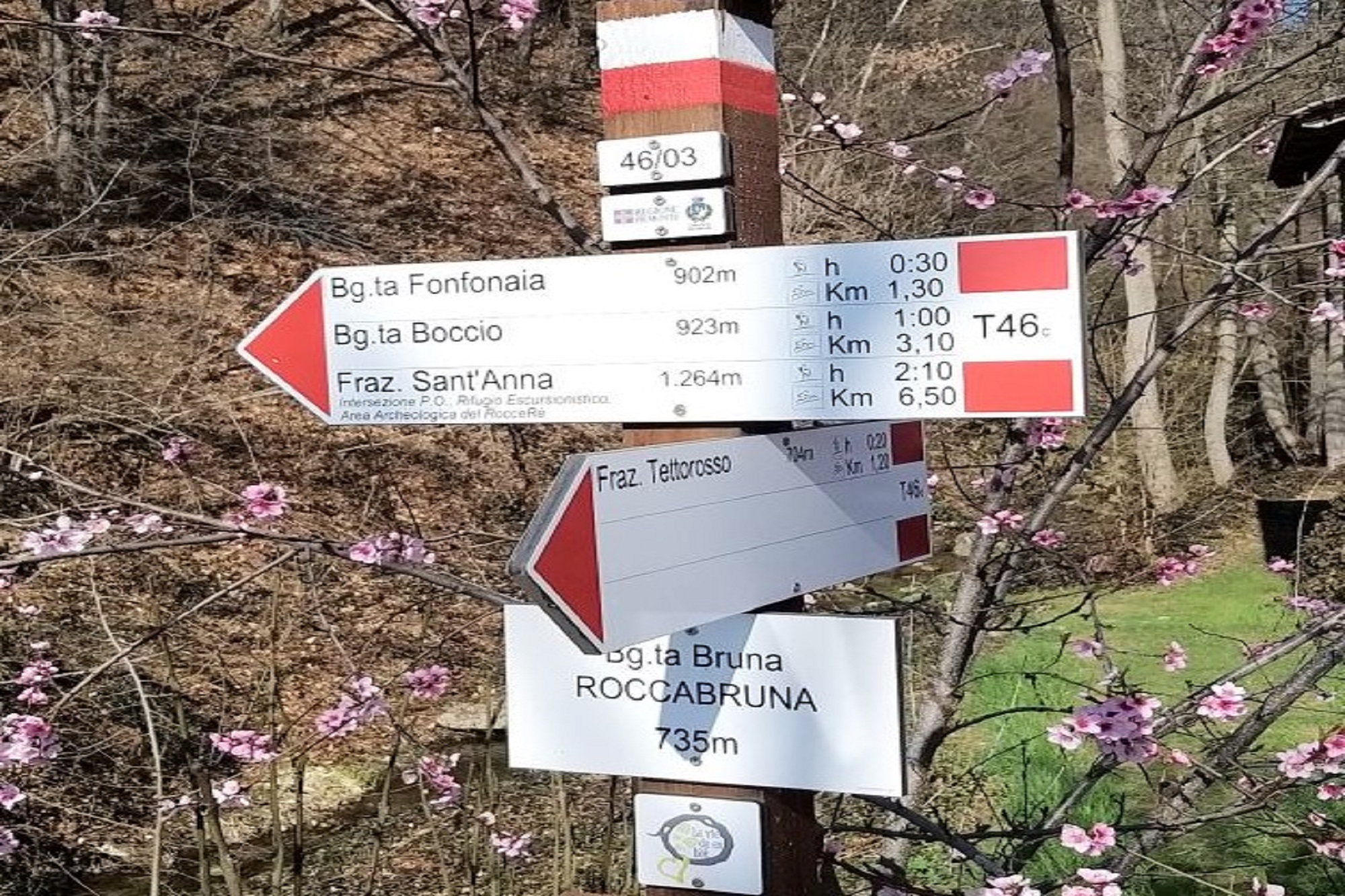
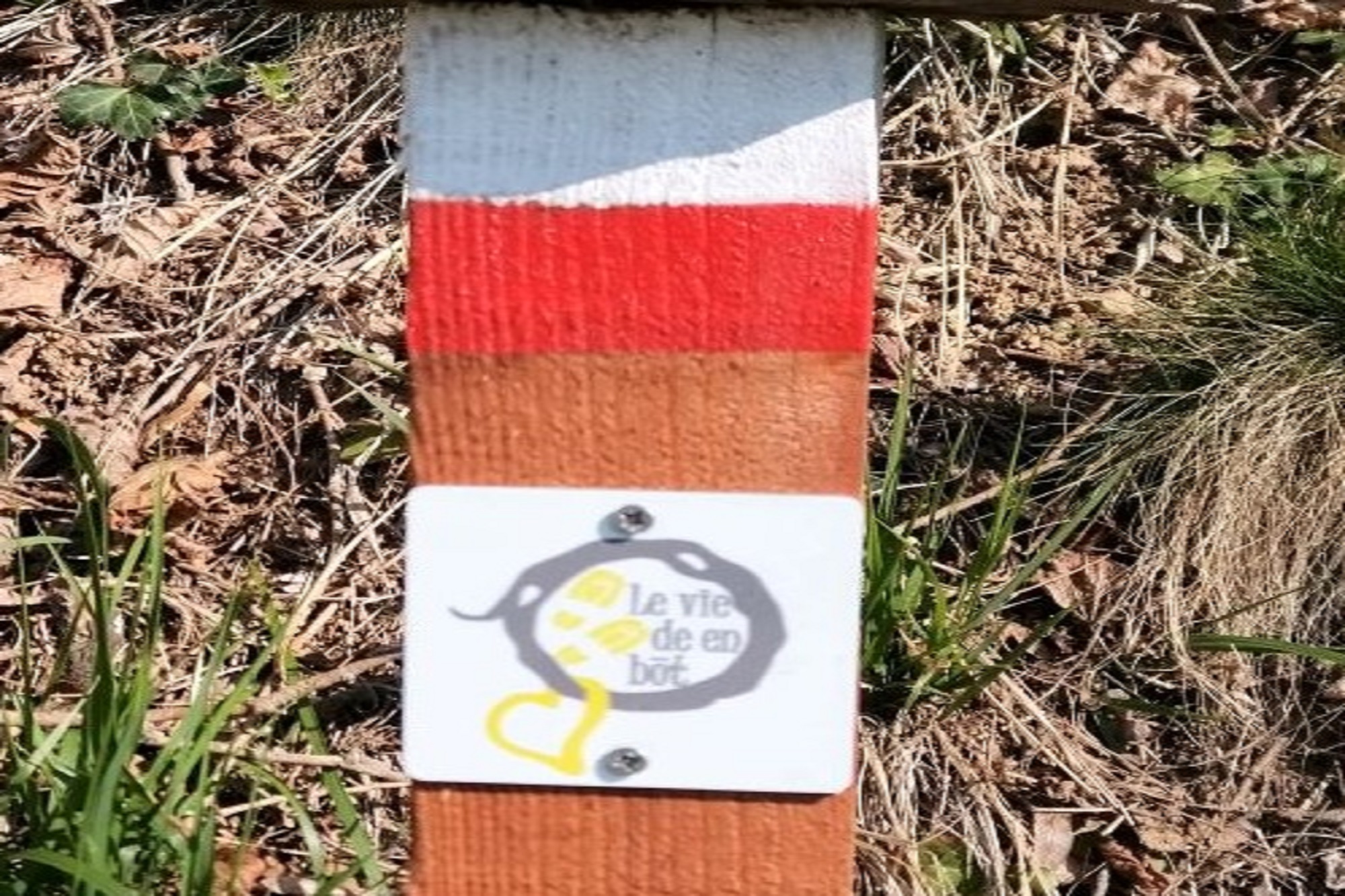
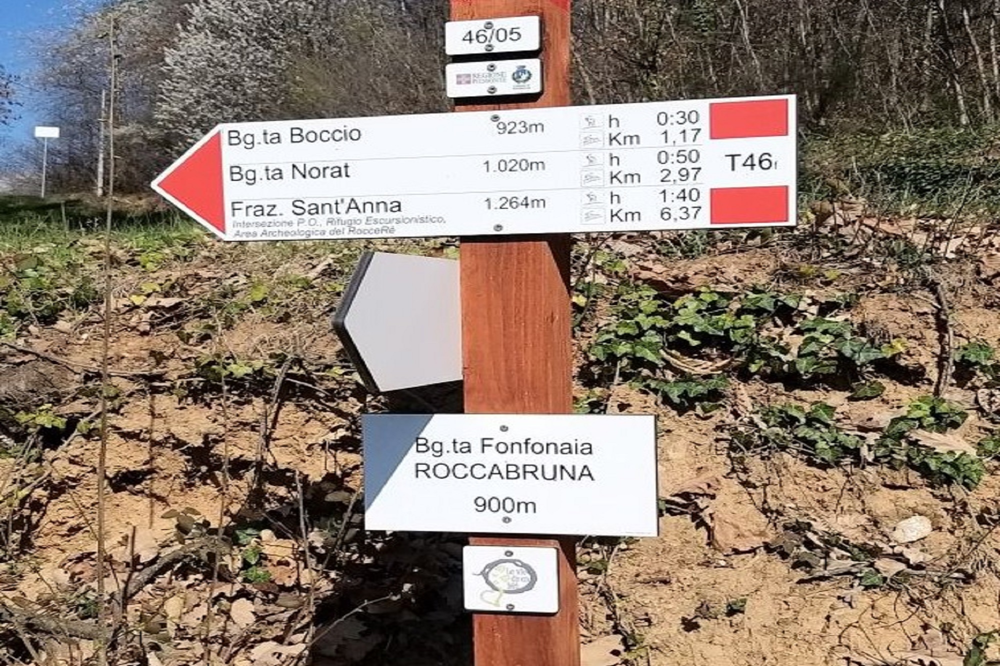
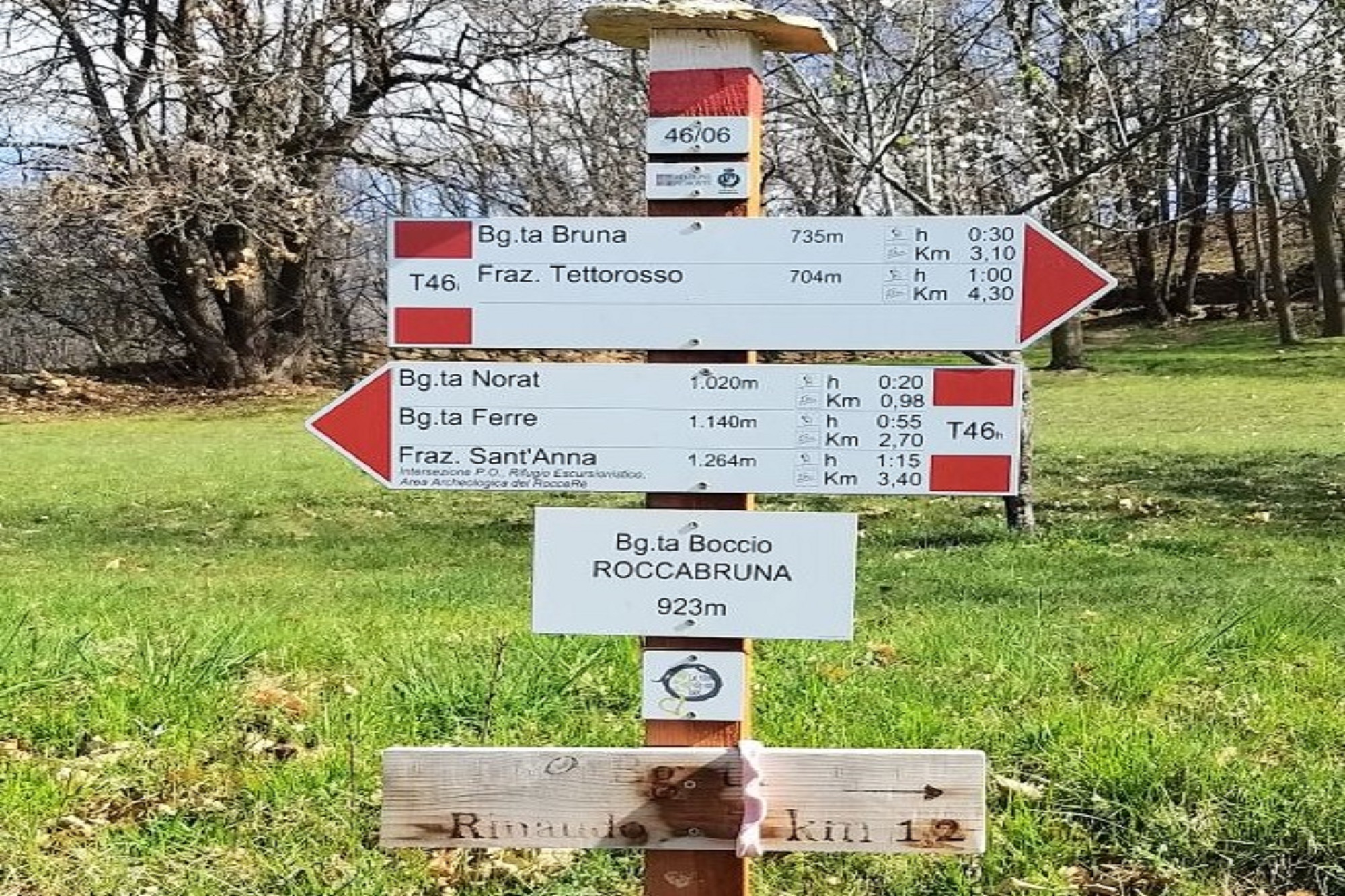
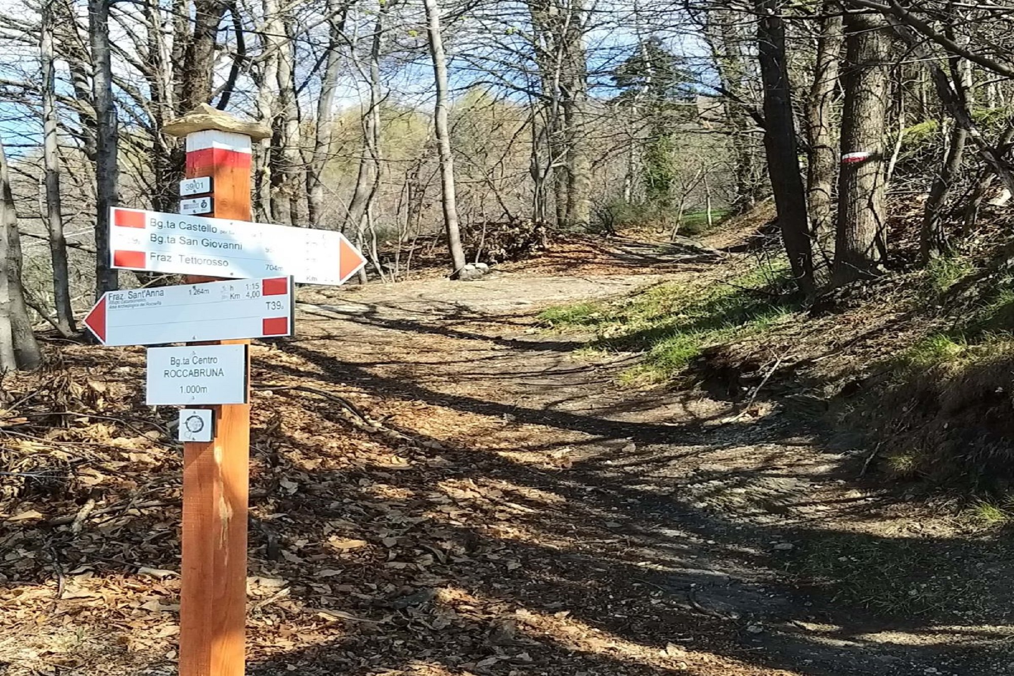
It is marked with a brand and is all marked with white and red notches.
Leaving the car at the sports facilities in the Tettorosso area next to the Church of the Holy Family, you immediately take the direction of the cemetery, following the red and white tracks (regional symbol of a marked path).
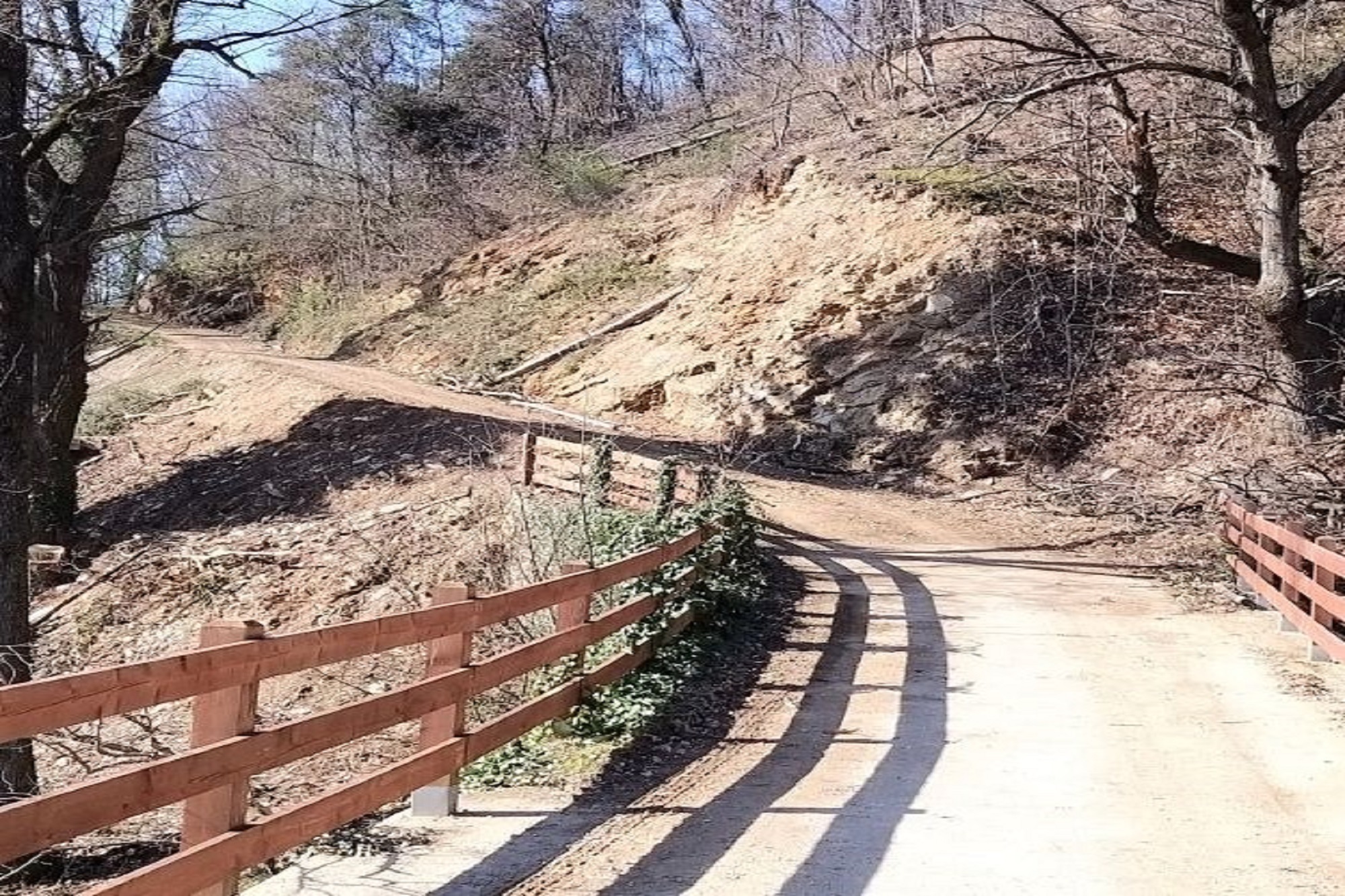
Thus, very easily, you arrive at the first Borgata (Bonarda); after crossing a bridge on the left, towards Fonfonaia from Borgata Bruna, the dirt road begins to climb (S1).
From the dirt road you return to asphalt just above Borgata Ischia Superiore – a few hundred meters – to arrive at Borgata Fonfonaia, where a nice single track (S1) begins on the plain, not without technical difficulties, but to drive.
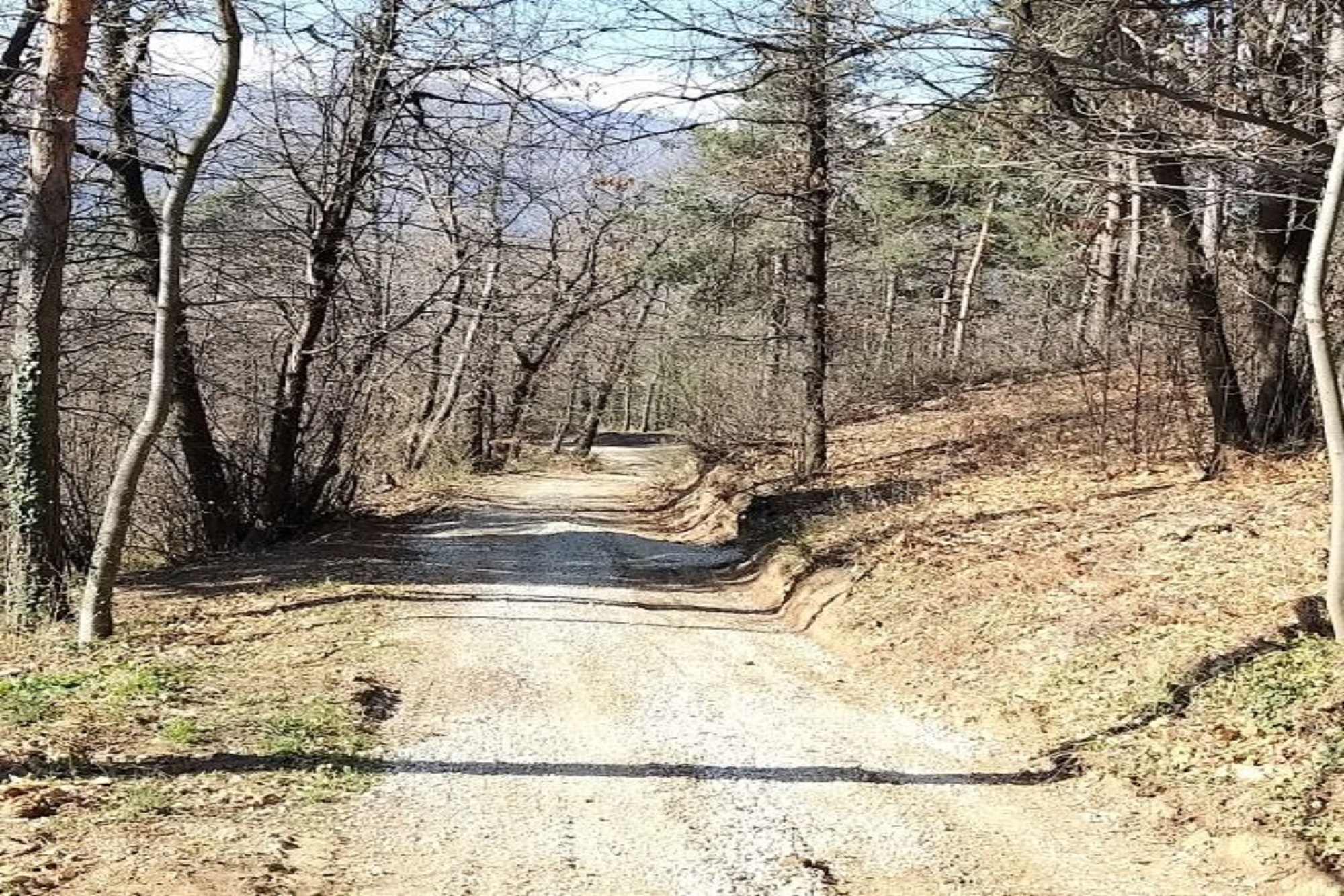
You reach Borgata Boccio where, following the markings, you take a dirt road uphill to the right (S1), characterized by the passage under some centuries-old chestnut trees.
Once you reach the asphalt, continue straight on for a few hundred metres, where, on the left, having admired a votive stone, the signs take you to Norat.
Details are:
- passing under a house
- the common oven in front of the church.
Leave the Borgata di Norat on a simple dirt road and continue to climb, ignoring a first crossroads for Borgata Dao, continue straight until the crossroads for Borgata Ferre.
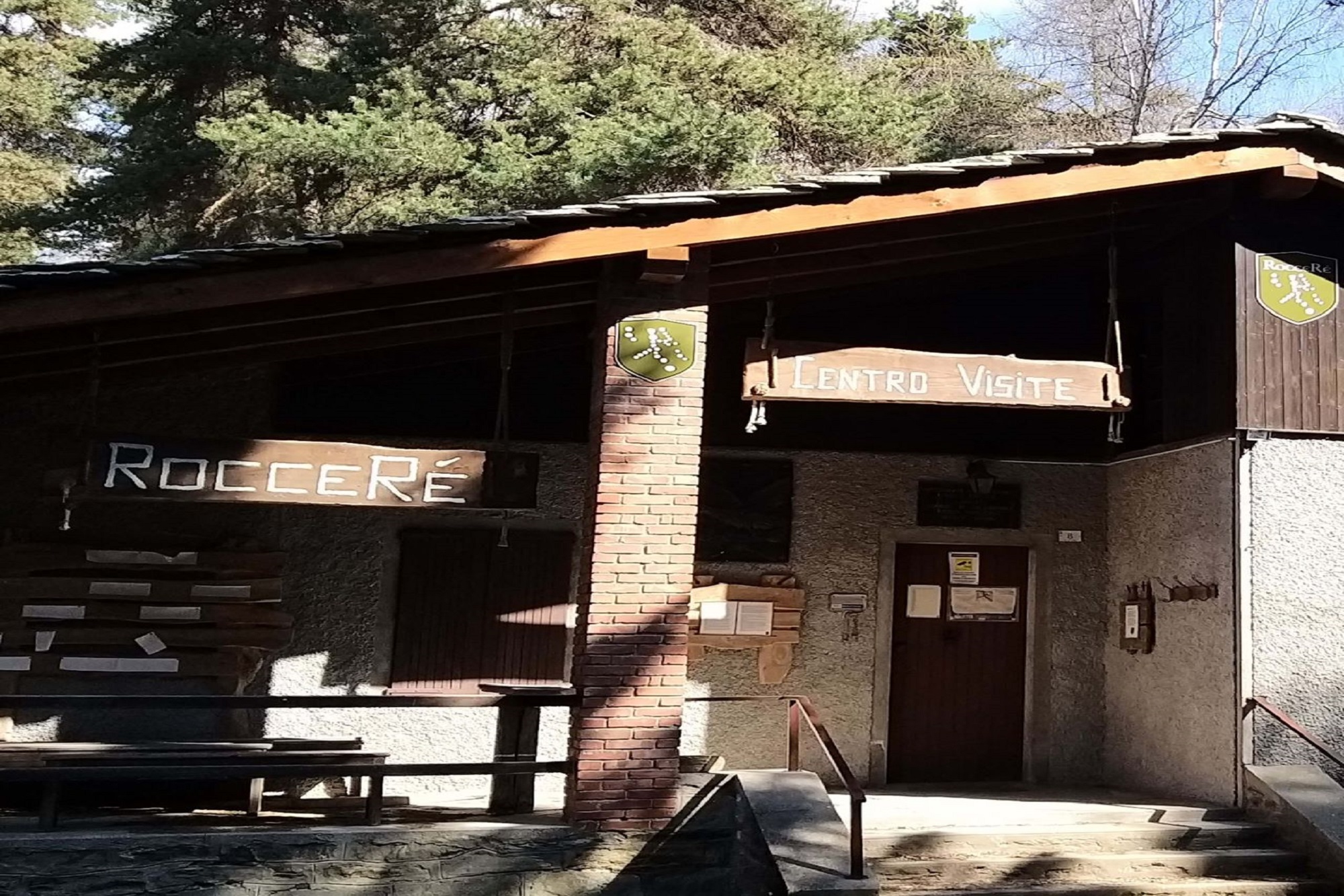
Here you can continue on the simple dirt road up to Sant’Anna di Roccabruna, or take the obvious path that starts straight ahead (S2), until you reach the pine forest and the Roccerè di Sant’Anna di Roccabruna visitor center.
Sant’Anna, 1,225 m, is the highest point reached on this excursion.
Here there are two bar restaurants: La Pineta and Roccerè.
After the Sanctuary, immediately on the right you take a downhill dirt road and, having reached the asphalt, you go down a few meters then on the right the road leads to a house where a single track (S2) starts – the notch is on the wall of the house .
You arrive at Borgata Belliardi where you enter the woods.
Once you reach Borgata Lavello you return to asphalt, go down to the left fork towards Borgata Cogno, and on the bend to the left, before the village, a slightly bumpy path descends with a passage in a stream (S3).
A steep, but short, climb takes us to a group of houses, continuing up to Borgata Centro.
Ignoring the crossroads towards the houses, immediately go up to the left on a steep single track (S2-S3) up to a small church: here the path becomes wider and you arrive at Castello.
You pass between the houses following the white and red marks, you pass under a house and the single track becomes challenging (S3) up to San Giovanni.
After a few tens of meters on a dirt road, turn right (there is a staircase with 6 steps: it is advisable to get off the bike).
The single track is narrow and technical (S3): you pass Borgata Peduccio and continue down to Borgata Margaria.
Here the road becomes easy and asphalted again; following the marks you pass through Borgata Erede and return to the car.
VARIANT: it is possible to avoid the sections classified S3, once you reach Borgata Centro you proceed on asphalt at the left fork until San Giovanni, where you take the dirt road without difficulties.
Thus you arrive at Borgata Bernard, where the road becomes asphalted again downhill, you pass the Borgate Grangetta, Gora, on the Hans Clemer road. Once you reach the roundabout, turn right and reach the car.
TECHNICAL DATA:
ROUND TYPE: Ring
DEPARTURE and ARRIVAL POINT: Sports facilities parking (Tettorosso area) next to the Church of the Holy Family
STARTING ALTITUDE: 674 m
POSITIVE DIFFERENCE IN ALTITUDE: +660 m
TYPE OF TERRAIN: asphalt, dirt road, single track
TYPE OF BIKE: full MTB – full e-MTB
WATER POINTS: there are none at the start, better to arrive with water
TELEPHONE: good coverage
SUITABLE FOR: experts (downhill sections of S3)
DIFFICULTY: dirt roads S1, sections S2 uphill and S3 downhill
Information
- Duration: 2h
- Ascent: 630 m
- Distance: 16.0 km
- Region: Roccabruna
- Seasons: Autumn, Spring, Summer
- Difficulty: Hard
Mountain sports are potentially dangerous activities and must be undertaken with the right equipment and preparation. We invite you to consult the weather and avalanche bulletin before embarking on an excursion and/or contact a guide for assistance. The Valle Maira Tourist Consortium declines any responsibility in relation to the advice and itineraries shown here, which must be evaluated personally according to the weather conditions and snow cover.
