Alta Via di Marmora by MTB

From the Vernetti di Marmora hamlet you leave the main road, continuing into the hamlet, skirting the town hall and the post office and, still on asphalt while maintaining the main axis, the crossroads for the Finello hamlet which you ignore. The road ends at the village of San Sebastiano where you proceed straight, reaching the church of SS. Sebastiano and Fabiano which deserves a short stop. An asset of undisputed artistic value, it houses the fifteenth-century frescoes by Giovanni di Baleison, a medieval artist working between southern Piedmont and Liguria.
In 0.6 km of dirt track you reach Torello and Garino, keeping left at the next crossroads. From here you intercept the asphalt again which you follow, uphill, towards the Tolosano village, the last village in the valley. A sparse larch forest accompanies the ride which alternates slightly sloping sections with more challenging ones.
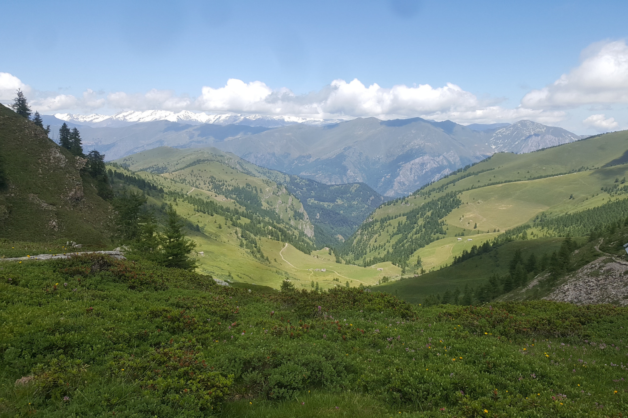
At an altitude of 2,000 meters above sea level, the wide meadows of Punte Tempesta and Sibolet cut across the hillside while, on the opposite side, in the valley which is not visible unless you gain further altitude, the lovely Resile lake is hidden. VARIANT For those who wish to add effort to the itinerary, we point out the possibility of following the signs for the path that runs alongside Lake Resile.
15.7 km from the start you reach the locality of Gias Valanghe, a summer mountain pasture used by farmers for grazing livestock and producing “Nostrale d’Alpe” cheese. Here you avoid the dirt detour to the right for Colle del Mulo, always maintaining the road which has a road surface that is not always uniform and in good condition. A long final traverse cuts through steep slopes and inlets, finally reaching the Esischie hill (2,366 meters above sea level), a historic connection with the Grana valley and the municipality of Castelmagno.
On the left, take the path that rises towards the Maira/Grana watershed crests and bears the signs “Alta via di Marmora” which you follow up to the Sibolet hill (2,546 meters above sea level). Here you avoid continuing towards Punta Tempesta, keeping right towards Monte Tibert.
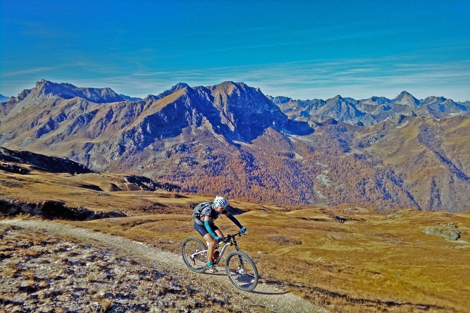
The Esischie hill – Sibolet hill section is spectacular from a panoramic point of view, with Monviso dominating the scene and all the border ridges with France as a corollary.
At the next Intersile hill (2,520 meters above sea level) keep left, descending into the Bedale Intersile; different sheep tracks can be misleading: it is advisable to stick to the main one which makes a wide turn towards the North-East. The descent is at times technical and stony, but never extreme; you lose altitude up to 1,988 meters above sea level where you connect to a forestry-pastoral track near the Grange Chiot among genepì cultivations.
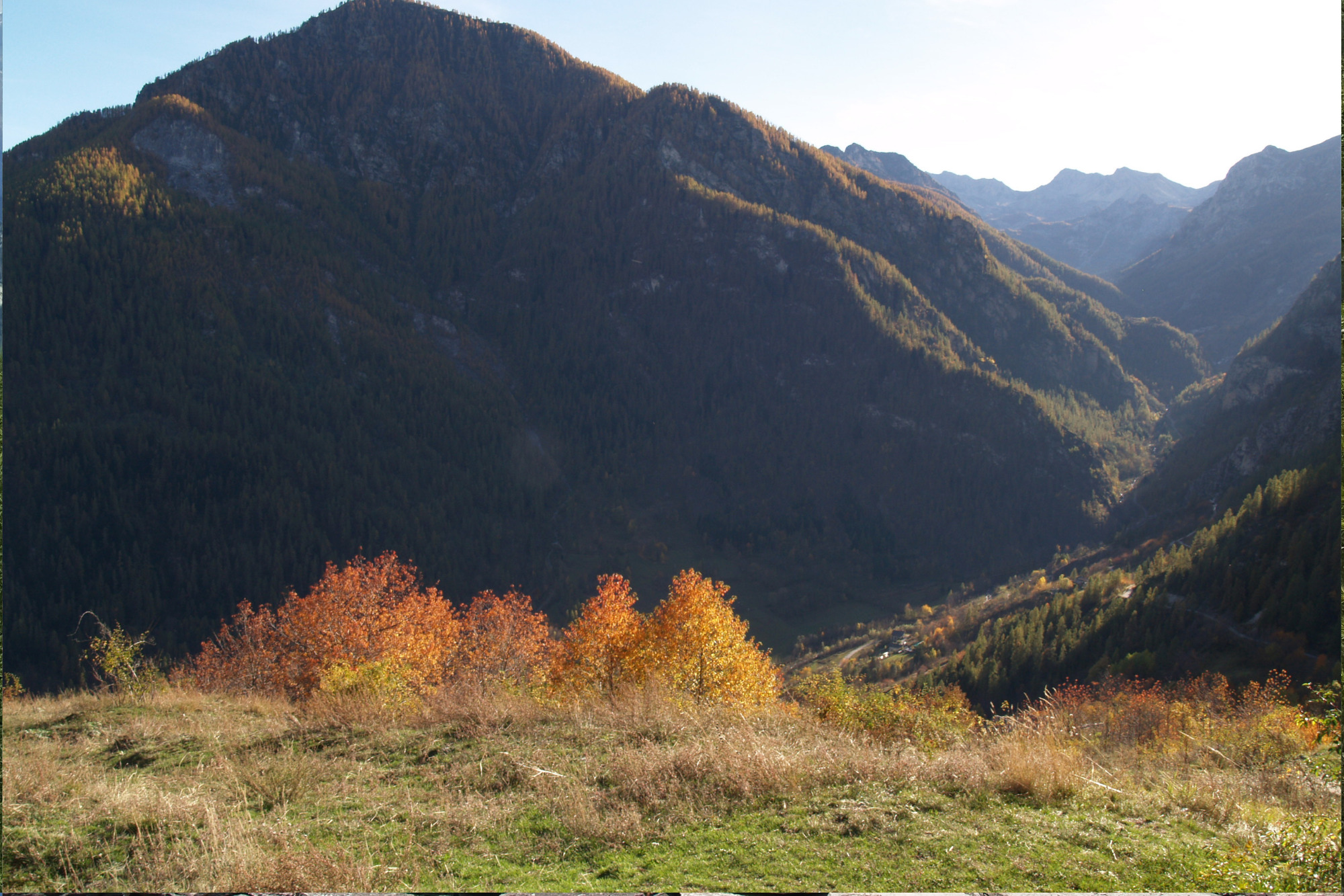
A slight climb on the left leads to the Intersile South hill of Monte Festa. The comfortable dirt road now descends in the direction of the upper villages of Marmora, between beautiful larch forests and large pastures.
At an altitude of 1,791 meters above sea level, 31 km from the start, you avoid the deviation to the right and continue the descent; a little further on it is possible to take, on the left, the single trail that connects directly to the church of San Massimo, avoiding 1.2 km of asphalt. The parish also represents an asset of high artistic/architectural value, starting from the southern façade, where two sundials stand out; the one dated 1,664 is considered the oldest sundial of the Maira.
Continue to the right, heading north to the Borgata Superiore, not far away. From there, continuing and crossing the Brieis hamlet you return to the starting point of Vernetti hamlet.
Information
- Ascent: 1,500 m
- Distance: 31.5 km
- Region: Marmora
- Seasons: Autumn, Spring, Summer
- Difficulty: Hard
Mountain sports are potentially dangerous activities and must be undertaken with the right equipment and preparation. We invite you to consult the weather and avalanche bulletin before embarking on an excursion and/or contact a guide for assistance. The Valle Maira Tourist Consortium declines any responsibility in relation to the advice and itineraries shown here, which must be evaluated personally according to the weather conditions and snow cover.


