Rocca La Meja Tour

ROCCA LA MEJA TOUR 2550MT
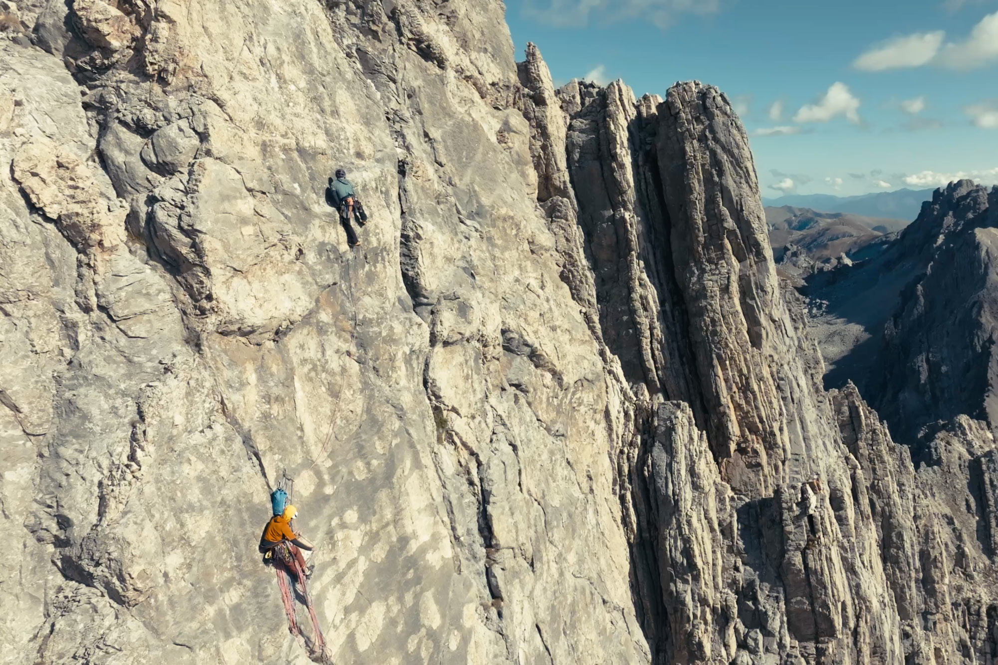
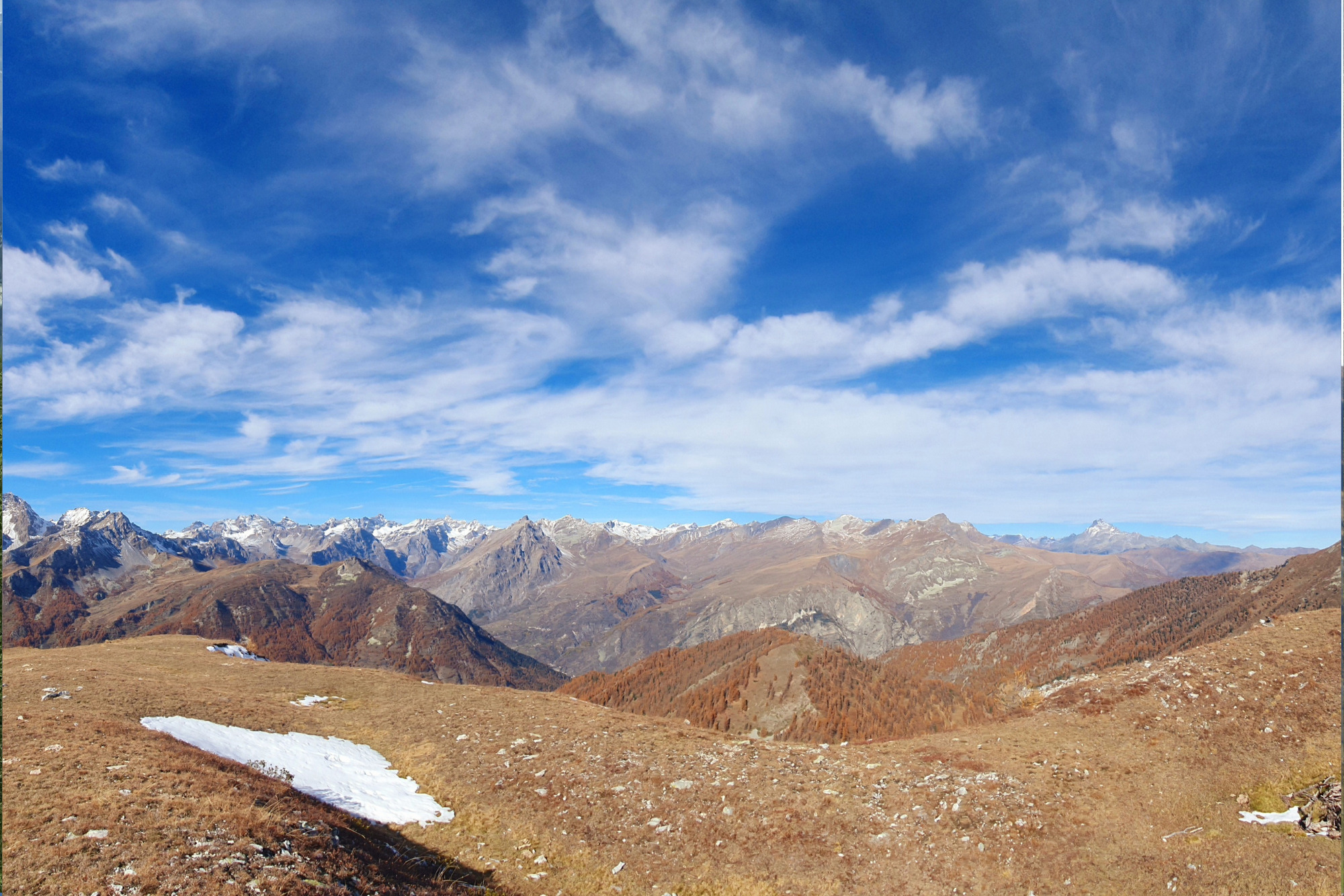
In this selection, we could not leave out Rocca la Meja, which, together with the Gardetta plateau, have over the years become a symbol that enclose a unique and spectacular environment. The important geological features distributed throughout the plateau create the unique blades of dolomite and limestone, from which the vertical walls of the southern slope of Rocca la Meja arise.
In summer, the plateau is confirmed as a reference for all hikers and climbers, but exploring this Dolomite environment covered by the white blanket makes it even more unique and fascinating.
Start:1541m Preit 44°25’59.80″ N 7°3’15.75″ E
Elevation gain: 1009
Ascent time: 3h
Exposure: all
Period: December- April
Mountaineering difficulty: PD
Ascent: From Preit Hamlet, the road to Gardetta leads to a plateau at 1670 metres. Cross a bridge here to reach Grange Selvest. Continue on a gentle incline, winding through switchbacks within a forested area, arriving at Grange Culausa at 1911 metres. The landscape opens up here, dominated by Rocca la Meja’s steep
northern faces.
Circling these northern cliffs towards the south, you’ll approach the Preit Pass at 2147 metres, which serves as the gateway to the breathtaking Gardetta Plateau.
Traversing along Rocca la Meja’s southern walls without losing elevation, you’ll reach the distinctive saddle between Rocca and Becco Grande. Climbing this slope, you arrive at the Colletto della Meja at 2550 metres, sitting on the divide between the Margherina and Valletta valleys.
Descent: Begin your descent from the collet, heading north down the channel. Initially, it’s steep and narrow, with slopes up to 40° — be wary of the wind. The channel gradually widens and softens, leading to a broad slope that descends into a basin below.
From this hollow, there are two options. The first, a more direct route, involves a long downhill traverse northward towards barns at 2160 metres.
Alternatively, to fully enjoy the splendid slope below, ski directly down to the plateau, choosing the best line alongside the larch forest eventually steering towards the barns. This route does require a slight ascent after crossing a bridge leading to the plateau.
The route back becomes straightforward, following the road valleyward.
Bypass the first left turn to Grange Chiacarloso at 2080 metres and continue until Grange Colombero Sottano at 1705 metres. From here, ski directly down to complete your loop near the hydroelectric station.
Information
- Duration: 3h
- Region: Canosio
- Season: Winter
- Difficulty: Hard
Mountain sports are potentially dangerous activities and must be undertaken with the right equipment and preparation. We invite you to consult the weather and avalanche bulletin before embarking on an excursion and/or contact a guide for assistance. The Valle Maira Tourist Consortium declines any responsibility in relation to the advice and itineraries shown here, which must be evaluated personally according to the weather conditions and snow cover.


