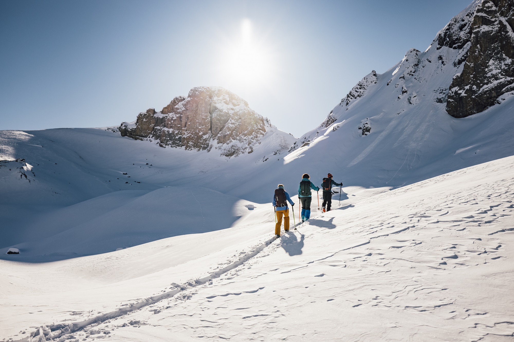
Monte Russet
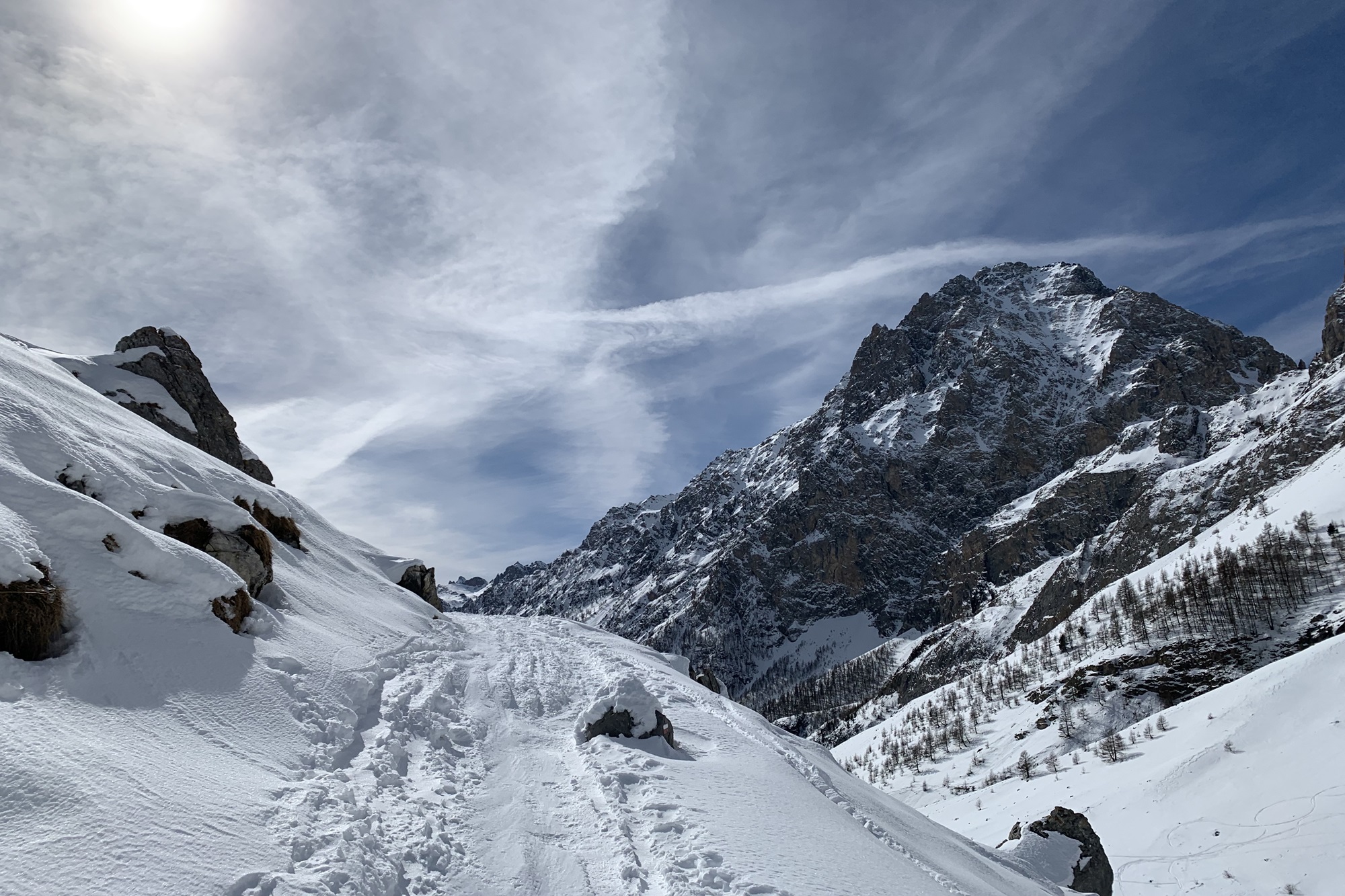
Itinerary suitable for everyone, located behind the picturesque hamlet of Chiappera, at the foot of the Provenzale-Castello mountain group.
- Starting point: Chiappera hamlet, Rifugio Campo Base (1628 m) – in the municipality of Acceglio
- Highest point: Monte Russet (2539 m)
- Exposure: North/East
- Route type: Loop possible
Route Description
Park your car near Rifugio Campo Base at 1628 m altitude.
Follow the flat dirt road that leads toward the Stroppia Waterfalls (note: in winter, they are not active).
After about 400 m, you’ll reach a junction near the small (frozen in winter) lake of the former “Camp Without Borders”.
If the cross-country ski trail is groomed, take the left path, slightly uphill through sparse woodland, to follow alongside the trail. If not, continue on the dirt road.
After about 600 m, you’ll reach a signpost indicating the Dino Icardi trail. Ignore this completely and continue straight on the dirt road, which begins to climb steeply toward the hydroelectric plant (which is entirely underground—you’ll only see a stone wall and the access door on the left).
Keep going until you reach the junction with the road coming from Chiappera, which passes by the Ciarviera alpine huts (grange), at 1930 m altitude.
Cross the road and follow the signs to “Colle Greguri,” taking the trail that gently climbs across the slope to the right.
In case of deep snow, continue left along the road, which makes a wide curve to the right and leads to the “Grange Collet” at 2000 m—this is the same point the previous trail would have taken you to.
Follow the path briefly heading north, then turn right, again following the signs to “Colle Greguri.”
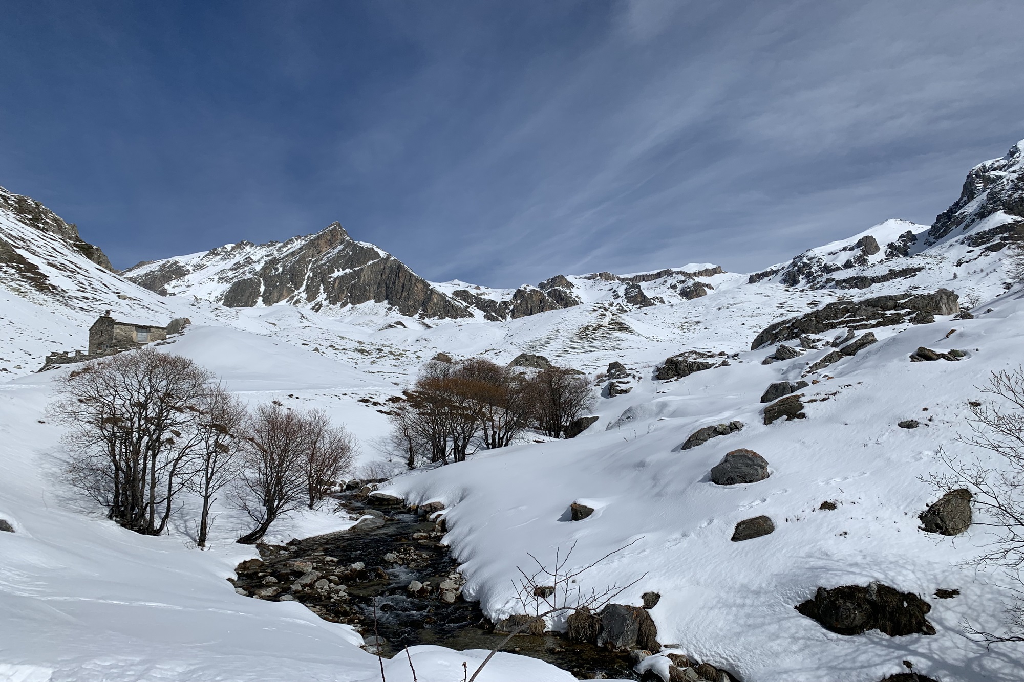
Walk alongside the Rio Maurin and enter a small wooded area where you’ll find a wooden bridge crossing the stream. After the bridge, continue straight (heading south) until you reach the base of a sloping hill. From here, turn right, passing through a sparse larch forest.
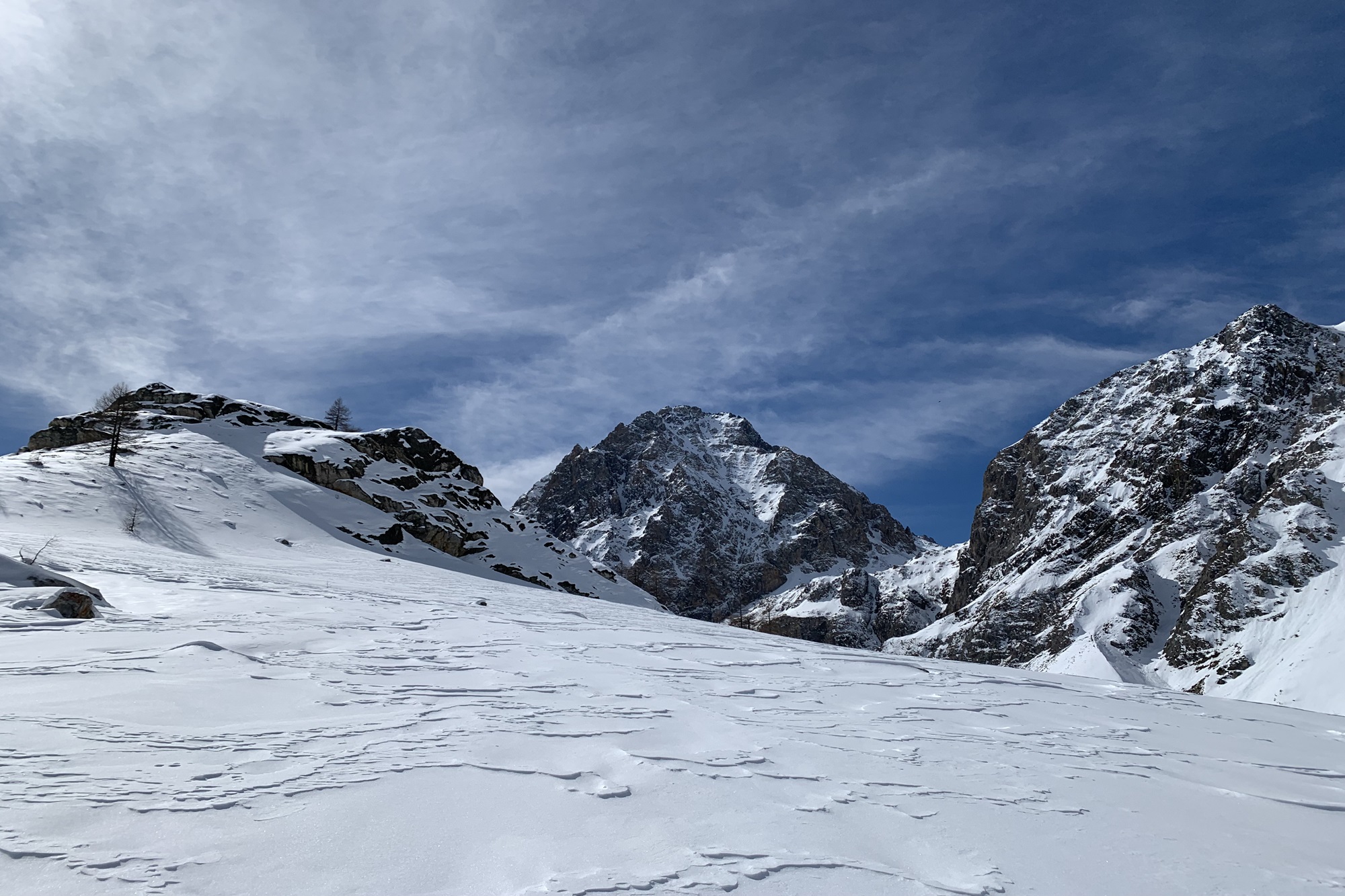
Continue toward the rocky promontory rising in front of you—Monte Russet—then veer slightly left toward a small mountain pass.
From the pass, turn right along the slope of Monte Russet. Once beneath the rocky barrier, stay left, skirting around the mountain.
Just before reaching a steep rocky section, there’s a passage on the right between two rocks.
Keep right and gain a bit of elevation. Be careful not to walk on the rocks.
You’ll reach Monte Russet via its south-facing slope. Only attempt this final ascent if snow and ice conditions are safe and stable. Otherwise, you can stop at the pass and climb the small hill on the left to enjoy a great panoramic view.
Descent
Retrace your steps down to the Collet huts.
Once back at the Collet huts, take the road straight ahead, which descends toward the Ciarviera huts in a wide curve.
At the Ciarviera huts, continue on the road that descends at the foot of the Rocca Provenzale to complete the loop.
Follow this road until you reach the main paved road. From here, turn right to return to the starting point.
Important Notes
This entire section is shared with ski mountaineers descending the mountain. Be mindful of your surroundings, as you might encounter skiers coming downhill.
Toward the end of the route, you’ll rejoin the cross-country ski track—do not walk on the groomed trail.
Attention!
Respect the cross-country ski trail: avoid walking on the track, especially on the ski grooves.
Where indicated, follow the signs for “Snowshoe Trail” that run alongside the groomed section.
Do not step on the ski trail—respect the work of those who prepare the track and the skiers who use it. Stick to the ungroomed areas.
In seasons with little snow, be cautious of ice on the dirt road right from the start. Crampons (or microspikes) can be useful. Alternatively, keep to the edge of the road, or, after the lake junction, walk through the woods until you can rejoin the steep road climbing to the hydroelectric plant.
WARNING: Winter hiking, like all outdoor activities, can be dangerous.
You must be properly equipped and know how to use an avalanche transceiver (ARVA/ABEAC).
For information on snowpack conditions and avalanche risk, consult the AINEVA bulletin: [https://bollettini.aineva.it/bulletin/latest](https://bollettini.aineva.it/bulletin/latest)
For weather forecasts: [www.arpa.piemonte.it/bollettino/previsioni-meteorologiche](http://www.arpa.piemonte.it/bollettino/previsioni-meteorologiche)
Information
- Duration: 3h
- Ascent: 450 m
- Descent: 450 m
- Region: Acceglio
- Season: Winter
- Difficulty: Easy
Mountain sports are potentially dangerous activities and must be undertaken with the right equipment and preparation. We invite you to consult the weather and avalanche bulletin before embarking on an excursion and/or contact a guide for assistance. The Valle Maira Tourist Consortium declines any responsibility in relation to the advice and itineraries shown here, which must be evaluated personally according to the weather conditions and snow cover.
