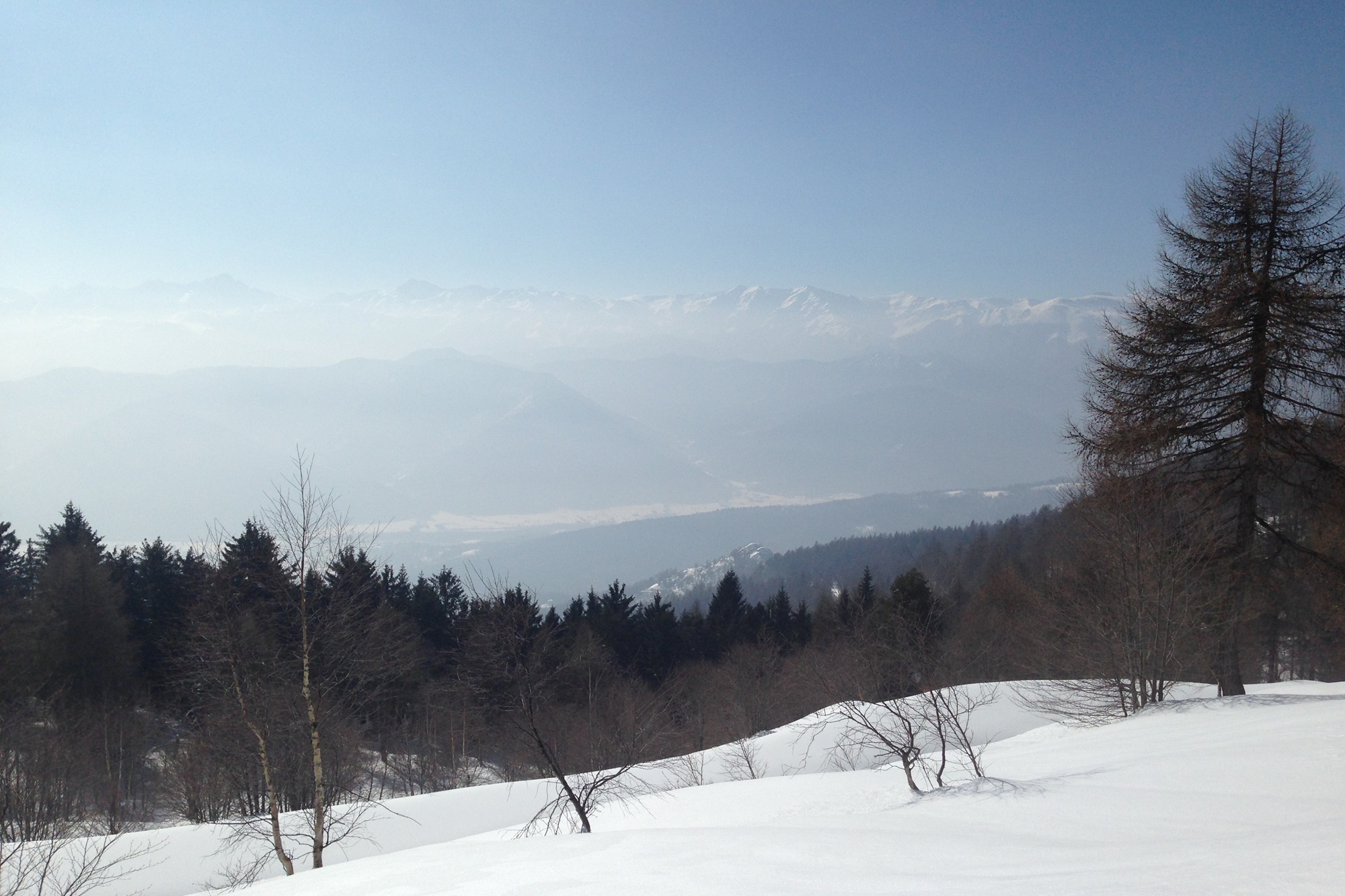
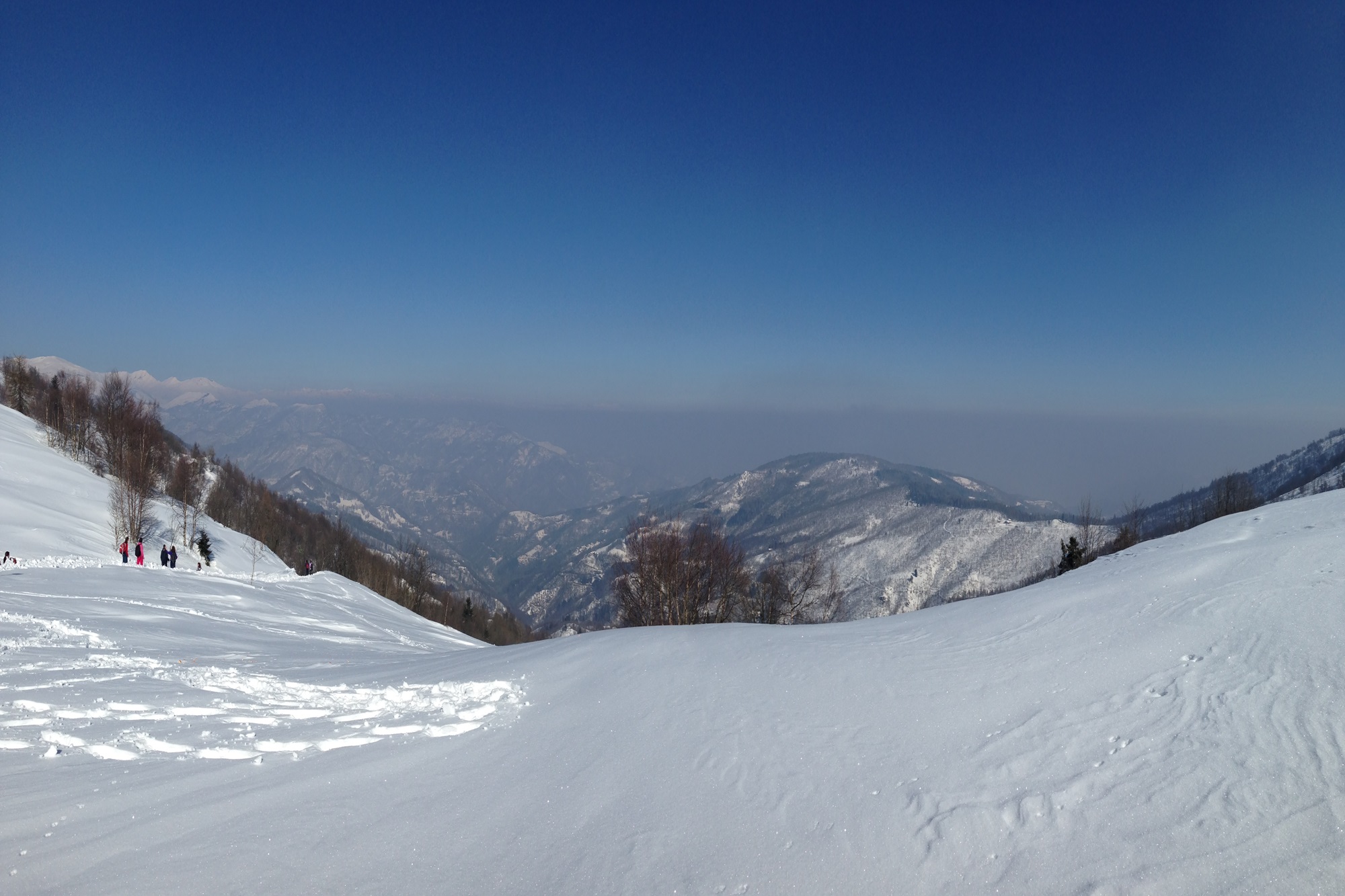
Colle di Valmala e Monte San Bernardo

Level 3/4 – Difficult – BR
Starting point: Frazione Centro (984 m) – Municipality of Roccabruna
Highest points: Colle di Valmala (1541 m) and Monte San Bernardo (1625 m)
Exposure: South/West
Type of route: Out-and-back trail
Route description
The hike starts from Borgata Centro in Roccabruna (984 m), where there is a parking area near the Church of San Giovanni.
At first, follow the asphalt road that climbs toward Borgata Castello, ignoring the trail that enters the woods.
Just before reaching Borgata Castello, take the road on the left that gently continues into the forest, passing behind an old white stable. Follow the signs to “Colle di Valmala.”
Continue along the wide road that climbs gently with broad turns, and do not follow the signs for “Sentiero del Castlass.”
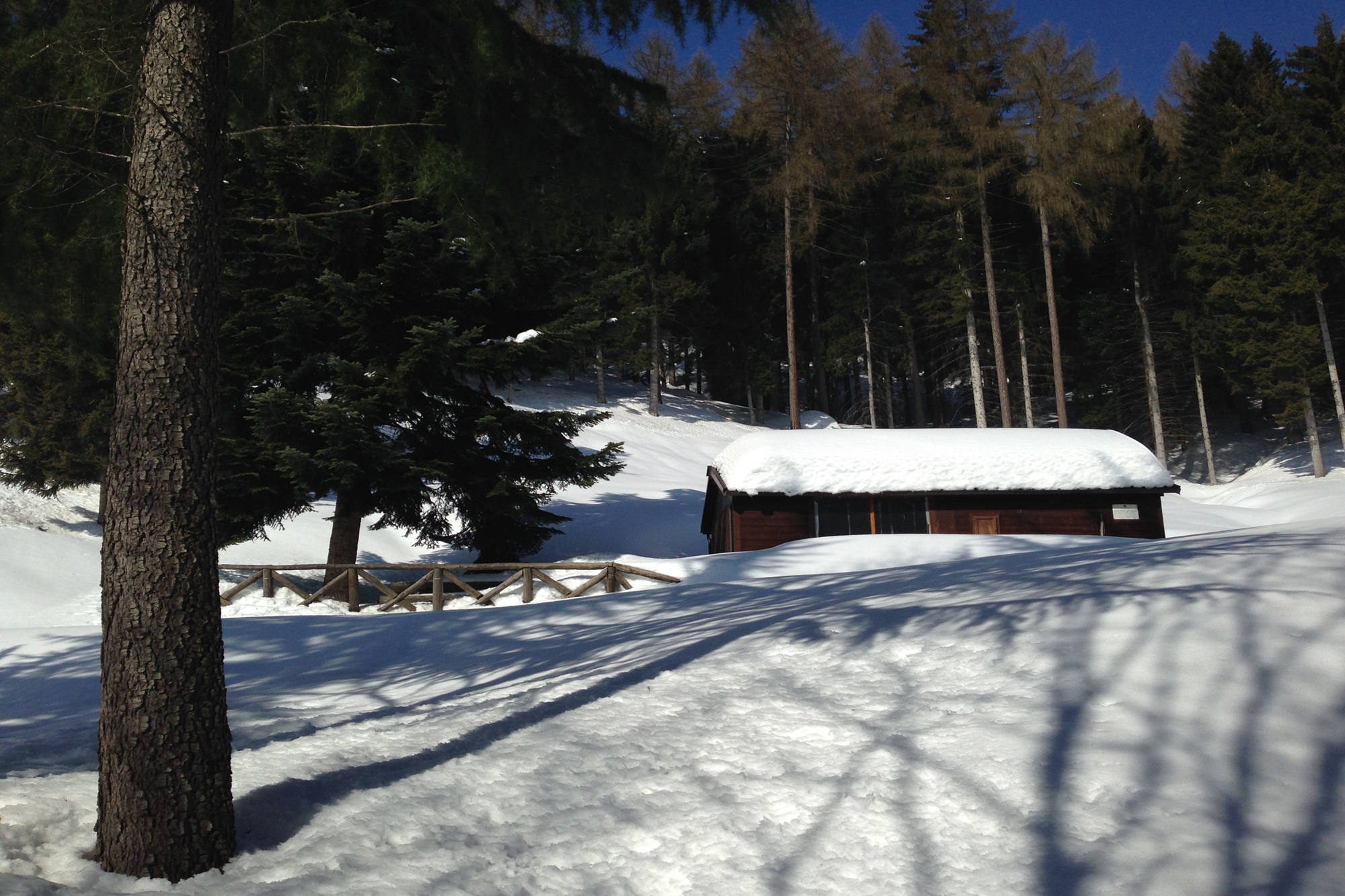
At one point, you’ll reach a junction, just after a small picnic area with a table, benches, and a cross overlooking the ridge. Take the left-hand trail, ignoring the road to the right that leads to Sant’Anna.
At the next junction, continue on the road that climbs to the right, again ignoring the “Sentiero del Castlass.” On the ascent, this trail should always be ignored, as it climbs much more steeply than the dirt road.
Those wishing to take it can find the Sellina bivouac (Bivacco Sellina) at about 1350 m.
Continue along the dirt road, ignoring all other detours, until you reach the Colle di Valmala.
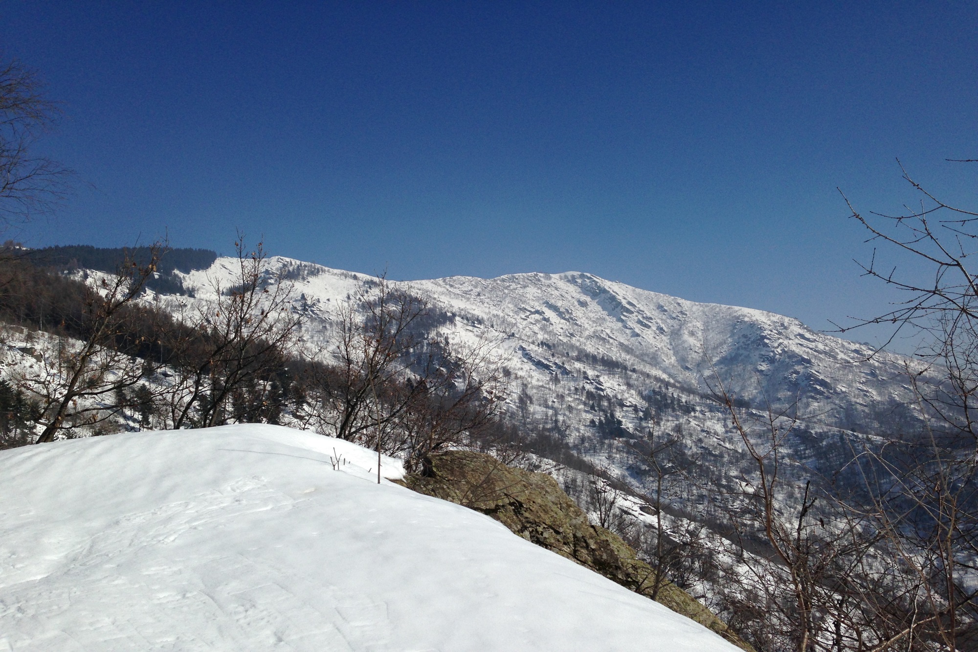
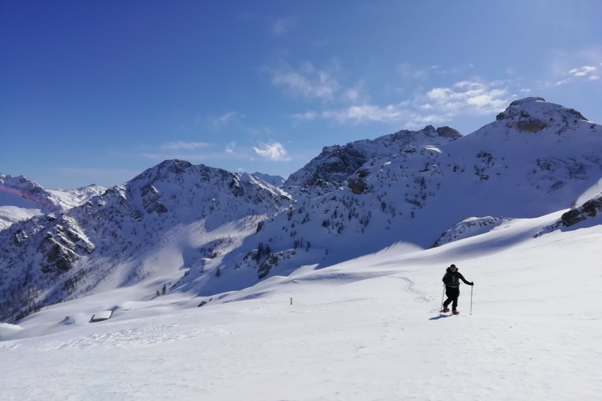
From Colle di Valmala, head east, following the signs toward Monte San Bernardo, which can be seen in the distance with its large cross.
Once at the summit, to return, follow the same path back down to Colle di Valmala. From the pass, you may choose to take the Sentiero del Castlass toward Bivacco Sellina / Borgata Castello, instead of returning along the same dirt road.
At Bivacco Sellina (always open and equipped with tables and benches, with a nearby water source), take the path descending left toward Borgata Centro, which rejoins the road you ascended. From there, continue along the same road back to the starting point.
⚠️WARNING: Winter hiking, like all outdoor activities, can be dangerous.
You must be properly equipped and know how to use an avalanche transceiver (ARVA/ABEAC).
For information on snowpack conditions and avalanche risk, consult the AINEVA bulletin: [https://bollettini.aineva.it/bulletin/latest](https://bollettini.aineva.it/bulletin/latest)
For weather forecasts: [www.arpa.piemonte.it/bollettino/previsioni-meteorologiche](http://www.arpa.piemonte.it/bollettino/previsioni-meteorologiche)
Information
- Duration: 4h30
- Ascent: 700 m
- Descent: 700 m
- Region: Roccabruna
- Season: Winter
- Difficulty: Hard
Mountain sports are potentially dangerous activities and must be undertaken with the right equipment and preparation. We invite you to consult the weather and avalanche bulletin before embarking on an excursion and/or contact a guide for assistance. The Valle Maira Tourist Consortium declines any responsibility in relation to the advice and itineraries shown here, which must be evaluated personally according to the weather conditions and snow cover.
